
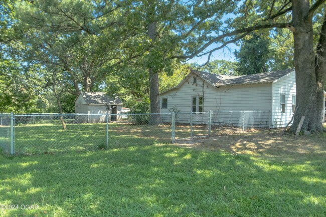


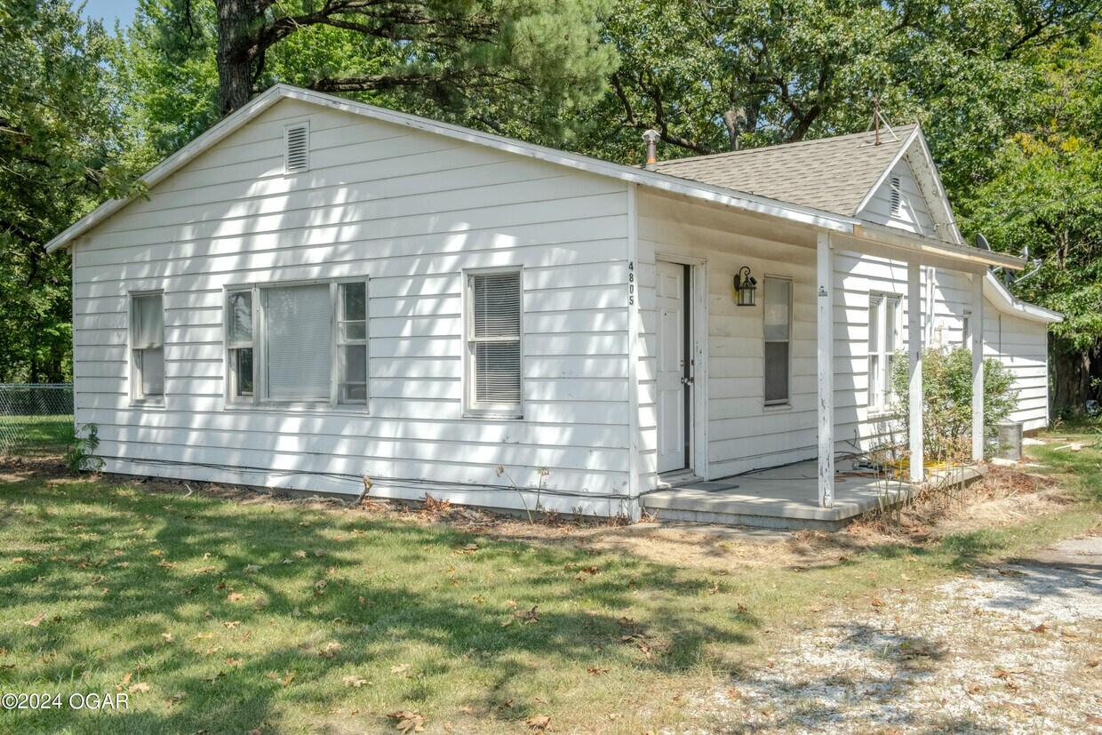
4805 State Hwy 43
4805 State Hwy 43
Joplin, MO 64804
Favorites
4805 State Hwy 43
Favorites
Check Back Soon for Upcoming Availability
| Beds | Baths | Average SF |
|---|---|---|
| 3 Bedrooms 3 Bedrooms 3 Br | 2 Baths 2 Baths 2 Ba | 1,500 SF |
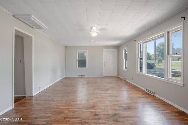
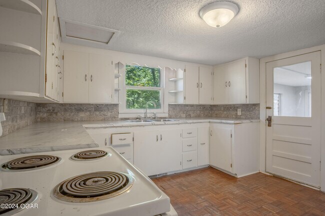
About This Property
HWY 43 and I-44 South to property on East side.
4805 State Hwy 43 is a condo located in Newton County and the 64804 ZIP Code.
Condo Features
- Fireplace
4805 State Hwy 43,
Joplin,
MO
64804
Nestled in the southwestern corner of Missouri, Joplin is a dynamic city with a rich mining heritage. The city features nearly 1,000 acres of parkland, including the world's largest remaining globally unique Chert Glades and the stunning Grand Falls, Missouri's highest continuously flowing waterfall.
Housing options in Joplin range from charming historic homes in the downtown area to modern apartment communities along Range Line Road, the city's primary commercial district. Popular neighborhoods include Royal Heights, Silver Creek, and Sunset Ridge, each offering its own distinct character. Missouri Southern State University and Kansas City University's medical school campus add a collegiate atmosphere, while the city's two major healthcare systems, Freeman Health System and Mercy Hospital Joplin, provide excellent medical care and employment opportunities.
Learn more about living in Joplin
Amenities
- Fireplace
Education
| Colleges & Universities | Distance | ||
|---|---|---|---|
| Colleges & Universities | Distance | ||
| Drive: | 10 min | 6.0 mi | |
| Drive: | 17 min | 10.1 mi | |
| Drive: | 48 min | 38.2 mi |
4805 State Hwy 43 is within 10 minutes or 6.0 miles from Kansas City University. It is also near Missouri Southern and Pittsburg State University.
Walkability Near 4805 State Hwy 43 Joplin, MO 64804
Getting Around
 What do Walkability, Transit, Drivability, and Bikeability mean?
Walkability measures the walking distance to day-to-day needs.
Transit measures access to public transportation.
Drivability measures congestion, parking availability, and access to major roads.
Bikeability measures the suitability for cycling.
How It Works
What do Walkability, Transit, Drivability, and Bikeability mean?
Walkability measures the walking distance to day-to-day needs.
Transit measures access to public transportation.
Drivability measures congestion, parking availability, and access to major roads.
Bikeability measures the suitability for cycling.
How It Works
Somewhat Walkable
Walkability
20
/ 100
Exceptionally Drivable
Drivability
100
/ 100
Somewhat Bikeable
Bikeability
20
/ 100
Scores provided by
-
Soundscore™
-
/ 100
Traffic
-Airport
-Businesses
-Scores provided by
HowLoud What is a Sound Score Rating? A Sound Score Rating aggregates noise caused by vehicle traffic, airplane traffic and local sources. How It WorksYou May Also Like
Similar Rentals Nearby
-
-
 5 Beds, 2.5 Baths, 4,800 sq ft$2,5506271 W Cedar Meadows Ln
 -
 Apartment for Rent3 Beds | 2 Baths | 1,200 sq ft
 -
 3 Beds, 2 Baths, 1,050 sq ft$1,400Total Monthly PriceTotal Monthly Price NewPrices include all required monthly fees.801 Greenwood Dr
 -

-
 Apartment for Rent3 Beds | 2 Baths | 1,100 sq ft
 -
 Apartment for Rent3 Beds | 2 Baths | 1,100 sq ft
 -

-
-

What Are Walk Score®, Transit Score®, and Bike Score® Ratings?
Walk Score® measures the walkability of any address. Transit Score® measures access to public transit. Bike Score® measures the bikeability of any address.
What is a Sound Score Rating?
A Sound Score Rating aggregates noise caused by vehicle traffic, airplane traffic and local sources.
4805 State Hwy 43
Joplin, MO 64804