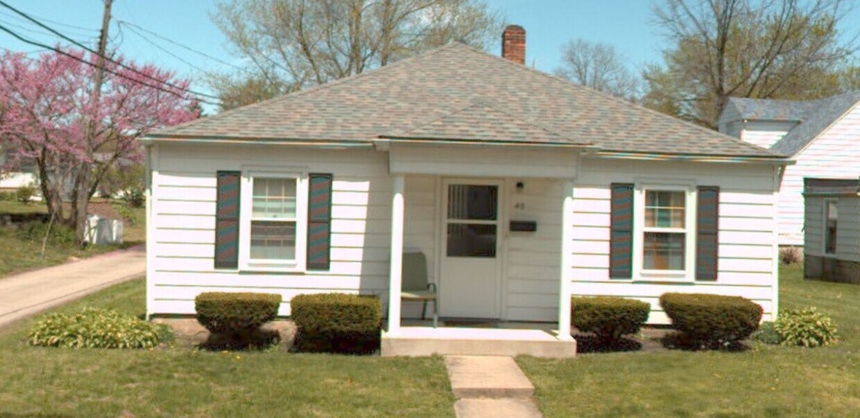


2 Beds, 1 Bath, 1,100 sq ft
$875
Total Monthly Price
12 Month Lease
Total Monthly Price
New
Prices include all required monthly fees.
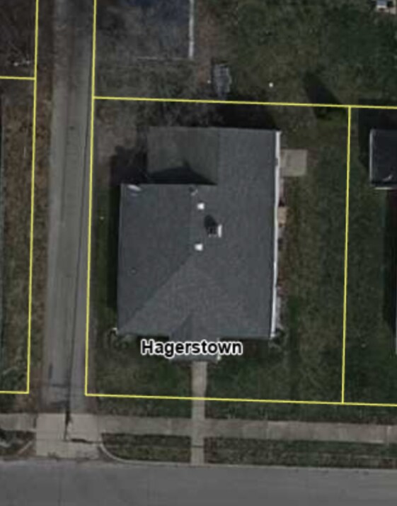
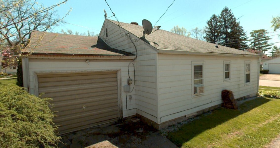
2207 Glen Ct


