


$1,685
/ Month
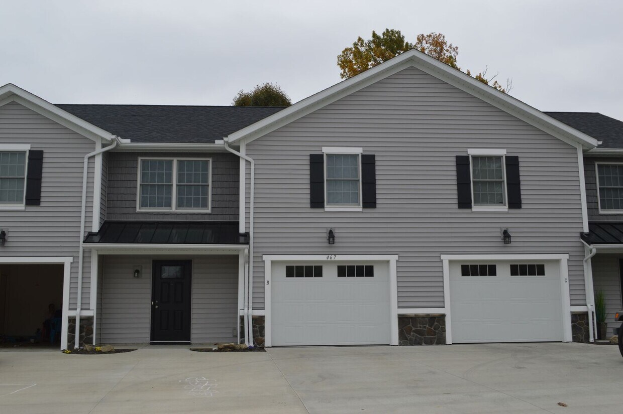
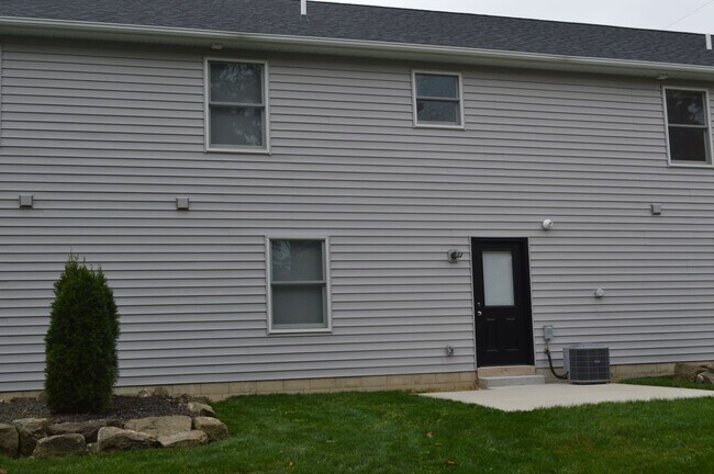
467 Sparrow Way Unit B
Wadsworth, OH 44281
Favorites
467 Sparrow Way Unit B

Favorites
Check Back Soon for Upcoming Availability
| Beds | Baths | Average SF |
|---|---|---|
| 3 Bedrooms 3 Bedrooms 3 Br | 2 Baths 2 Baths 2 Ba | 1,500 SF |
467 Sparrow Way is an apartment community located in Medina County and the 44281 ZIP Code.
Features
- Dishwasher
467 Sparrow Way,
Wadsworth,
OH
44281
Wadsworth is a suburban city located less than fifteen miles west of Downtown Akron. The charming downtown district features a timeless collective of historic buildings and tree-shaded sidewalks, with locally-owned cafes, taverns, and specialty shops operating out of the vintage storefronts.
The local rental market is quite diverse, with a wide selection of apartments, condos, and houses available to fit any taste or budget. With its low crime rate and top-notch public schools, Wadsworth is an excellent choice for folks raising families.
Learn more about living in Wadsworth
Amenities
- Dishwasher
Education
| Colleges & Universities | Distance | ||
|---|---|---|---|
| Colleges & Universities | Distance | ||
| Drive: | 27 min | 15.3 mi | |
| Drive: | 32 min | 20.5 mi | |
| Drive: | 34 min | 21.0 mi | |
| Drive: | 37 min | 26.7 mi |
467 Sparrow Way Unit B is within 27 minutes or 15.3 miles from University of Akron. It is also near Cuyahoga C.C., Brunswick and The College of Wooster.
Walkability Near 467 Sparrow Way Wadsworth, OH 44281
Getting Around
 What do Walkability, Transit, Drivability, and Bikeability mean?
Walkability measures the walking distance to day-to-day needs.
Transit measures access to public transportation.
Drivability measures congestion, parking availability, and access to major roads.
Bikeability measures the suitability for cycling.
How It Works
What do Walkability, Transit, Drivability, and Bikeability mean?
Walkability measures the walking distance to day-to-day needs.
Transit measures access to public transportation.
Drivability measures congestion, parking availability, and access to major roads.
Bikeability measures the suitability for cycling.
How It Works
Somewhat Walkable
Walkability
30
/ 100
Exceptionally Drivable
Drivability
90
/ 100
Somewhat Bikeable
Bikeability
30
/ 100
Scores provided by
-
Soundscore™
-
/ 100
Traffic
-Airport
-Businesses
-Scores provided by
HowLoud What is a Sound Score Rating? A Sound Score Rating aggregates noise caused by vehicle traffic, airplane traffic and local sources. How It WorksYou May Also Like
Similar Rentals Nearby


What Are Walk Score®, Transit Score®, and Bike Score® Ratings?
Walk Score® measures the walkability of any address. Transit Score® measures access to public transit. Bike Score® measures the bikeability of any address.
What is a Sound Score Rating?
A Sound Score Rating aggregates noise caused by vehicle traffic, airplane traffic and local sources.

467 Sparrow Way
Wadsworth, OH 44281