
10 Halletts Point
10, 20, 30 Halletts Pt,
Astoria, NY 11102
$3,357 - $6,971
Studio - 2 Beds


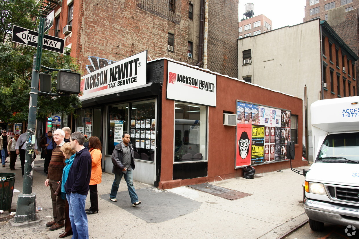
Find your new apartment at 450-464 Ninth Avenue, New York, NY. This property is situated at 362-364 W 36th St in New York. Let the knowledgeable leasing staff show you everything this community has in store. Compare 0 to 1 bedroom floor plans then schedule a tour. Contact us or stop by today.
450-464 Ninth Ave is an apartment community located in New York County and the 10018 ZIP Code. This area is served by the New York City Geographic District # 2 attendance zone.
Recycling
24 Hour Access
Trash Pickup - Curbside
On-Site Retail
Refrigerator
Disposal
Heating
Oven
Situated in the heart of Midtown Manhattan, the Garment District is an iconic neighborhood known for playing a major role in the global fashion industry. Also known as the Fashion District, the Garment District is involved with every element of the fashion industry, from design to sales and everything in between.
But there is more to the Garment District than fashion—restaurants, cafes, and rooftop lounges abound throughout the neighborhood in addition to luxury apartments, condos, and lofts. The Garment District is convenient to legendary cultural hubs like Herald Square and Bryant Park as well.
Several major transportation hubs are located within close proximity to the neighborhood, including Port Authority, Penn Station, and Grand Central. The Garment District is also accessible to 16 subway lines and numerous bus lines.
Learn more about living in Garment DistrictCompare neighborhood and city base rent averages by bedroom.
| Garment District | New York, NY | |
|---|---|---|
| Studio | $3,720 | $3,383 |
| 1 Bedroom | $4,657 | $4,176 |
| 2 Bedrooms | $6,099 | $5,736 |
| 3 Bedrooms | $4,846 | $7,219 |
| Colleges & Universities | Distance | ||
|---|---|---|---|
| Colleges & Universities | Distance | ||
| Walk: | 6 min | 0.3 mi | |
| Walk: | 12 min | 0.6 mi | |
| Walk: | 12 min | 0.7 mi | |
| Walk: | 15 min | 0.8 mi |


Transportation options available in New York include 34 Street-Penn Station (A,C,E Line), located 0.2 mile from 450-464 Ninth Ave. 450-464 Ninth Ave is near LaGuardia, located 9.3 miles or 18 minutes away, and Newark Liberty International, located 13.8 miles or 18 minutes away.
| Transit / Subway | Distance | ||
|---|---|---|---|
| Transit / Subway | Distance | ||
|
|
Walk: | 4 min | 0.2 mi |
|
|
Walk: | 7 min | 0.4 mi |
|
|
Walk: | 9 min | 0.5 mi |
|
|
Walk: | 9 min | 0.5 mi |
| Walk: | 12 min | 0.6 mi |
| Commuter Rail | Distance | ||
|---|---|---|---|
| Commuter Rail | Distance | ||
|
|
Walk: | 7 min | 0.4 mi |
|
|
Walk: | 9 min | 0.5 mi |
|
|
Walk: | 11 min | 0.6 mi |
|
|
Drive: | 4 min | 1.2 mi |
|
|
Drive: | 4 min | 1.6 mi |
| Airports | Distance | ||
|---|---|---|---|
| Airports | Distance | ||
|
LaGuardia
|
Drive: | 18 min | 9.3 mi |
|
Newark Liberty International
|
Drive: | 18 min | 13.8 mi |
Scores provided by
Traffic
-Airport
-Businesses
-Scores provided by
HowLoud What is a Sound Score Rating? A Sound Score Rating aggregates noise caused by vehicle traffic, airplane traffic and local sources. How It WorksTime and distance from 450-464 Ninth Ave.
| Shopping Centers | Distance | ||
|---|---|---|---|
| Shopping Centers | Distance | ||
| Walk: | 6 min | 0.3 mi | |
| Walk: | 10 min | 0.5 mi | |
| Drive: | 6 min | 1.4 mi |
| Parks and Recreation | Distance | ||
|---|---|---|---|
| Parks and Recreation | Distance | ||
|
Chelsea Park
|
Walk: | 9 min | 0.5 mi |
|
Chelsea Recreation Center
|
Walk: | 12 min | 0.6 mi |
|
The High Line
|
Walk: | 16 min | 0.9 mi |
|
Bryant Park
|
Walk: | 16 min | 0.9 mi |
|
Madison Square Park
|
Drive: | 4 min | 1.3 mi |
| Hospitals | Distance | ||
|---|---|---|---|
| Hospitals | Distance | ||
| Drive: | 5 min | 1.4 mi | |
| Drive: | 5 min | 1.8 mi | |
| Drive: | 6 min | 2.0 mi |
| Military Bases | Distance | ||
|---|---|---|---|
| Military Bases | Distance | ||
| Drive: | 13 min | 4.8 mi | |
| Drive: | 23 min | 11.8 mi | |
| Drive: | 34 min | 16.0 mi |
What Are Walk Score®, Transit Score®, and Bike Score® Ratings?
Walk Score® measures the walkability of any address. Transit Score® measures access to public transit. Bike Score® measures the bikeability of any address.
What is a Sound Score Rating?
A Sound Score Rating aggregates noise caused by vehicle traffic, airplane traffic and local sources.
450-464 Ninth Ave
New York, NY 10018


