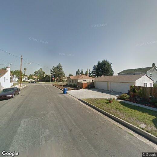

444 Royce St
444 Royce St
Altadena, CA 91001
2 Weeks Ago
|
Edit
Favorites
444 Royce St

Favorites
Check Back Soon for Upcoming Availability
Location
Get Directions
Altadena is a thriving suburban community sandwiched between Pasadena to the south and the Angeles National Forest to the north. Almost entirely a residential community, Altadena’s rental market is mostly composed of unpretentious single-family homes with a handful of apartments and condos in the mix as well.
NASA’s Jet Propulsion Lab oratory sits just to the west of town, making Altadena a popular home base for many of the facility’s staff. The Rubio Canyon and Sam Merrill Trailheads provide direct links from the northern part of Altadena into the nearby hills, making it a great spot for folks who enjoy hiking and exploring the rugged landscape of Southern California.
Learn more about living in Altadena
Education
| Colleges & Universities | Distance | ||
|---|---|---|---|
| Colleges & Universities | Distance | ||
| Drive: | 9 min | 3.5 mi | |
| Drive: | 8 min | 4.2 mi | |
| Drive: | 10 min | 5.6 mi | |
| Drive: | 11 min | 5.8 mi |
444 Royce St is within 9 minutes or 3.5 miles from Art Center College of Design. It is also near Fuller Theological Seminary and Pasadena City College.
Transportation options available in Altadena include Memorial Park Station, located 3.7 miles from 444 Royce St. 444 Royce St is near Bob Hope, located 16.6 miles or 25 minutes away, and Los Angeles International, located 27.6 miles or 44 minutes away.
| Transit / Subway | Distance | ||
|---|---|---|---|
| Transit / Subway | Distance | ||
|
|
Drive: | 7 min | 3.7 mi |
|
|
Drive: | 8 min | 4.0 mi |
|
|
Drive: | 6 min | 4.4 mi |
|
|
Drive: | 8 min | 4.6 mi |
|
|
Drive: | 7 min | 5.4 mi |
| Commuter Rail | Distance | ||
|---|---|---|---|
| Commuter Rail | Distance | ||
|
|
Drive: | 16 min | 11.3 mi |
|
|
Drive: | 21 min | 12.5 mi |
|
|
Drive: | 23 min | 12.5 mi |
|
|
Drive: | 19 min | 13.4 mi |
| Drive: | 25 min | 16.6 mi |
| Airports | Distance | ||
|---|---|---|---|
| Airports | Distance | ||
|
Bob Hope
|
Drive: | 25 min | 16.6 mi |
|
Los Angeles International
|
Drive: | 44 min | 27.6 mi |
Time and distance from 444 Royce St.
| Shopping Centers | Distance | ||
|---|---|---|---|
| Shopping Centers | Distance | ||
| Walk: | 7 min | 0.4 mi | |
| Walk: | 8 min | 0.4 mi | |
| Walk: | 13 min | 0.7 mi |
444 Royce St has 3 shopping centers within 0.7 mile, which is about a 13-minute walk. The miles and minutes will be for the farthest away property.
| Parks and Recreation | Distance | ||
|---|---|---|---|
| Parks and Recreation | Distance | ||
|
Jet Propulsion Laboratory
|
Drive: | 2 min | 1.3 mi |
|
Kidspace Children's Museum
|
Drive: | 6 min | 2.7 mi |
|
Descanso Gardens
|
Drive: | 9 min | 4.9 mi |
|
Eaton Canyon Nature Center
|
Drive: | 11 min | 5.1 mi |
|
Huntington Botanical Gardens
|
Drive: | 14 min | 7.0 mi |
444 Royce St has 5 parks within 7.0 miles, including Jet Propulsion Laboratory, Kidspace Children's Museum, and Descanso Gardens.
| Hospitals | Distance | ||
|---|---|---|---|
| Hospitals | Distance | ||
| Drive: | 7 min | 4.3 mi | |
| Drive: | 8 min | 4.8 mi | |
| Drive: | 13 min | 7.9 mi |
444 Royce St has 3 hospitals within 7.9 miles, the nearest is Huntington Memorial Hospital which is 4.3 miles away and a 7 minute drive.
| Military Bases | Distance | ||
|---|---|---|---|
| Military Bases | Distance | ||
| Drive: | 41 min | 29.1 mi | |
| Drive: | 50 min | 32.7 mi |
444 Royce St is 29.1 miles from Los Angeles Air Force Base, and is convenient to other military bases, including Los Alamitos Army Airfield.
You May Also Like
Similar Rentals Nearby


What Are Walk Score®, Transit Score®, and Bike Score® Ratings?
Walk Score® measures the walkability of any address. Transit Score® measures access to public transit. Bike Score® measures the bikeability of any address.
What is a Sound Score Rating?
A Sound Score Rating aggregates noise caused by vehicle traffic, airplane traffic and local sources