
Trio Apartments
621 E Colorado Blvd,
Pasadena, CA 91101
$2,627 - $4,239
Studio - 2 Beds

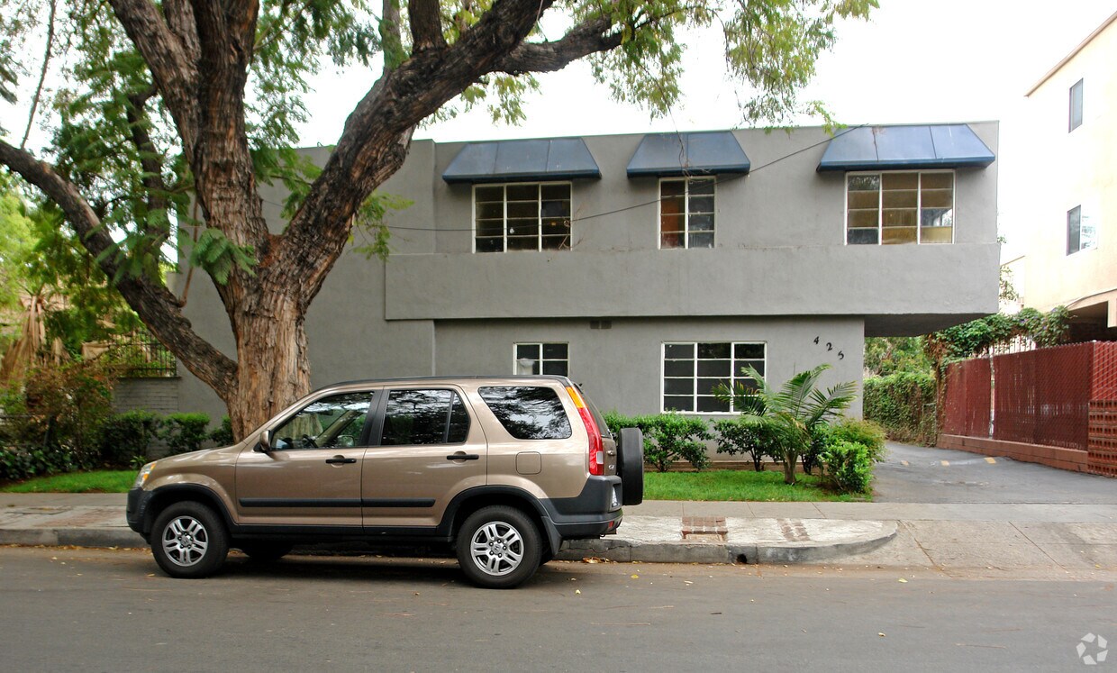
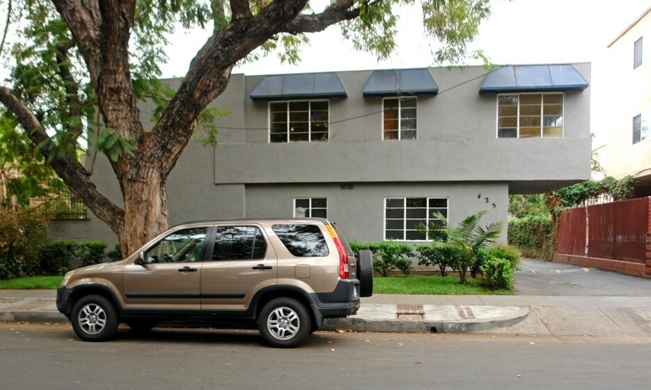
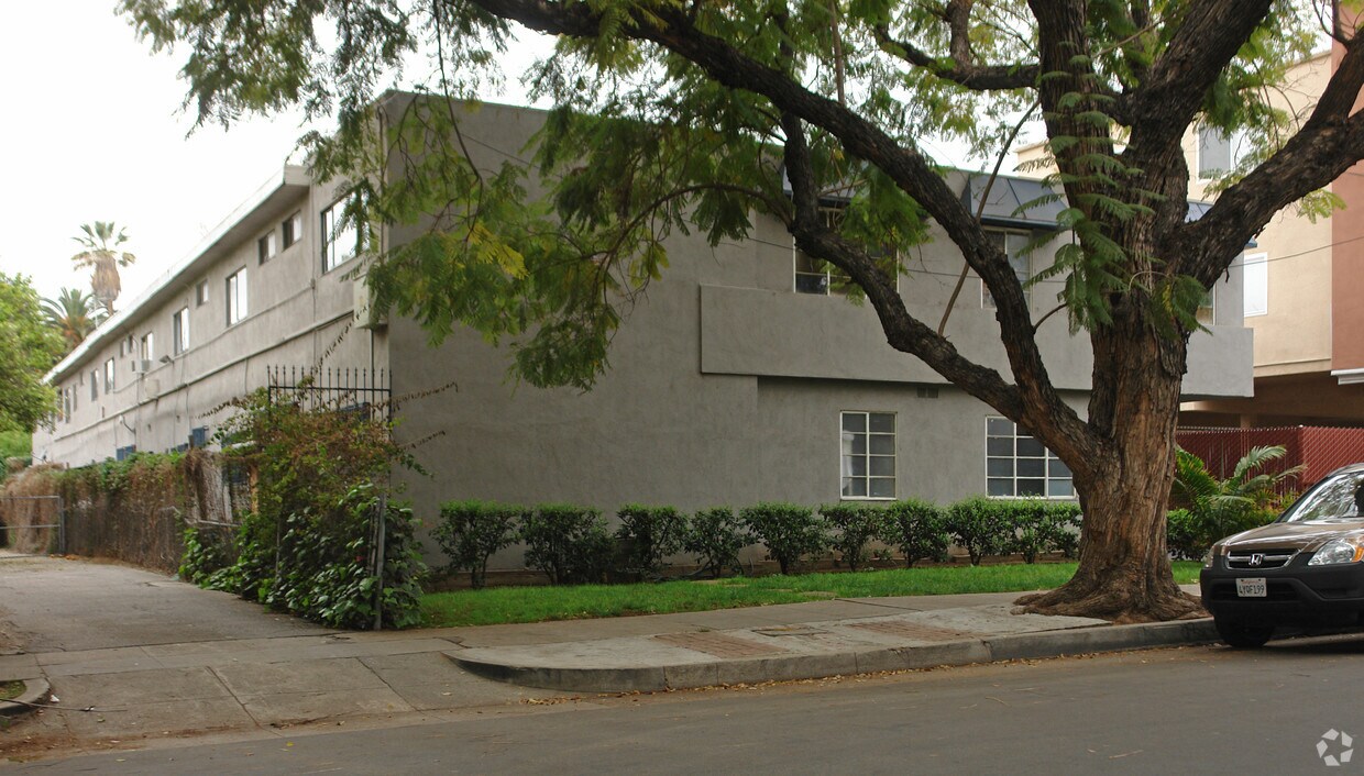
Discover your new apartment at 425 N Garfield Ave in Pasadena, CA. This community is located in the 91101 area of Pasadena. Let the knowledgeable leasing staff show you everything this community has to offer. Featuring 1 to 2 bedroom floor plans. It's time to love where you live. Stop by for a visit today.
425 N Garfield Ave is an apartment community located in Los Angeles County and the 91101 ZIP Code. This area is served by the Pasadena Unified attendance zone.
If you’re looking for a central location in Pasadena, Villa Parke is a great option. Villa Parke is located directly north of Old Pasadena, the city’s downtown district, and is near several parks and golf courses like Brookside Golf Course. Villa Parke is also near Rose Bowl Stadium, home to the annual Rose Bowl football game that attracts visitors from across the country. Complemented by palm trees and manicured streets, this small neighborhood has a variety of apartments and condos for rent. Along with restaurants and stores, Villa Parke has a namesake park with a community center that fuels the neighborhood’s strong sense of community. The center hosts youth programs, fitness classes, and even a farmers market. Interstate 210 makes up Villa Parke’s southern border, allowing for easy travel into Los Angeles and other SoCal cities.
Learn more about living in Villa ParkeCompare neighborhood and city base rent averages by bedroom.
| Villa Parke | Pasadena, CA | |
|---|---|---|
| Studio | $1,189 | $1,987 |
| 1 Bedroom | $1,410 | $2,369 |
| 2 Bedrooms | $1,817 | $3,035 |
| 3 Bedrooms | $1,420 | $3,808 |
| Colleges & Universities | Distance | ||
|---|---|---|---|
| Colleges & Universities | Distance | ||
| Walk: | 13 min | 0.7 mi | |
| Drive: | 5 min | 2.3 mi | |
| Drive: | 5 min | 2.4 mi | |
| Drive: | 6 min | 2.5 mi |


Transportation options available in Pasadena include Memorial Park Station, located 0.6 mile from 425 N Garfield Ave. 425 N Garfield Ave is near Bob Hope, located 16.7 miles or 22 minutes away, and Los Angeles International, located 25.4 miles or 40 minutes away.
| Transit / Subway | Distance | ||
|---|---|---|---|
| Transit / Subway | Distance | ||
|
|
Walk: | 11 min | 0.6 mi |
|
|
Walk: | 17 min | 0.9 mi |
|
|
Walk: | 21 min | 1.1 mi |
|
|
Drive: | 4 min | 1.8 mi |
|
|
Drive: | 3 min | 2.1 mi |
| Commuter Rail | Distance | ||
|---|---|---|---|
| Commuter Rail | Distance | ||
|
|
Drive: | 12 min | 9.1 mi |
|
|
Drive: | 17 min | 10.3 mi |
|
|
Drive: | 19 min | 10.4 mi |
|
|
Drive: | 19 min | 11.1 mi |
| Drive: | 21 min | 14.4 mi |
| Airports | Distance | ||
|---|---|---|---|
| Airports | Distance | ||
|
Bob Hope
|
Drive: | 22 min | 16.7 mi |
|
Los Angeles International
|
Drive: | 40 min | 25.4 mi |
Time and distance from 425 N Garfield Ave.
| Shopping Centers | Distance | ||
|---|---|---|---|
| Shopping Centers | Distance | ||
| Walk: | 10 min | 0.5 mi | |
| Walk: | 15 min | 0.8 mi | |
| Walk: | 16 min | 0.9 mi |
| Parks and Recreation | Distance | ||
|---|---|---|---|
| Parks and Recreation | Distance | ||
|
Kidspace Children's Museum
|
Drive: | 5 min | 2.1 mi |
|
Jet Propulsion Laboratory
|
Drive: | 6 min | 3.5 mi |
|
Huntington Botanical Gardens
|
Drive: | 9 min | 3.7 mi |
|
Eaton Canyon Nature Center
|
Drive: | 9 min | 4.9 mi |
|
Audubon Center at Debs Park
|
Drive: | 11 min | 6.4 mi |
| Hospitals | Distance | ||
|---|---|---|---|
| Hospitals | Distance | ||
| Drive: | 3 min | 1.7 mi | |
| Drive: | 7 min | 4.1 mi | |
| Drive: | 11 min | 5.4 mi |
| Military Bases | Distance | ||
|---|---|---|---|
| Military Bases | Distance | ||
| Drive: | 37 min | 27.0 mi | |
| Drive: | 47 min | 30.3 mi |
What Are Walk Score®, Transit Score®, and Bike Score® Ratings?
Walk Score® measures the walkability of any address. Transit Score® measures access to public transit. Bike Score® measures the bikeability of any address.
What is a Sound Score Rating?
A Sound Score Rating aggregates noise caused by vehicle traffic, airplane traffic and local sources
425 N Garfield Ave
Pasadena, CA 91101


 - Violet on Virgil")


 - AVA Burbank")
