
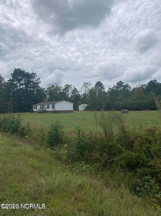
4210 Scronce Rd
Harrells, NC 28444

Check Back Soon for Upcoming Availability
| Beds | Baths | Average SF |
|---|---|---|
| 4 Bedrooms 4 Bedrooms 4 Br | 2 Baths 2 Baths 2 Ba | 1,311 SF |
About This Property
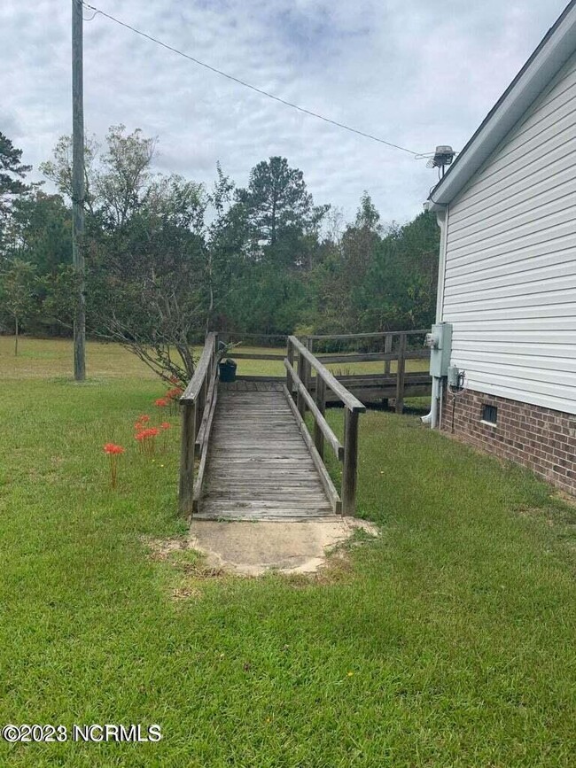
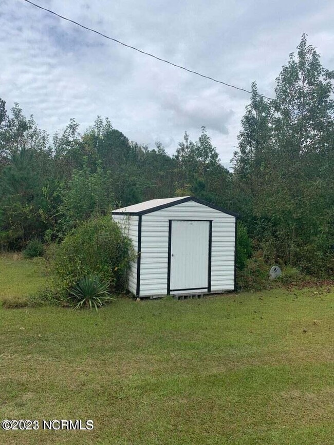
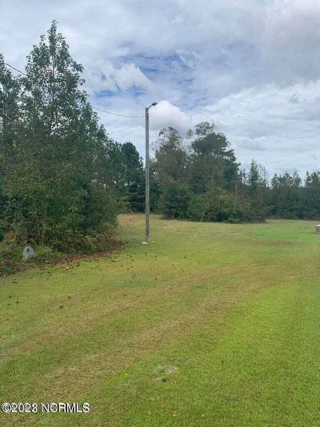
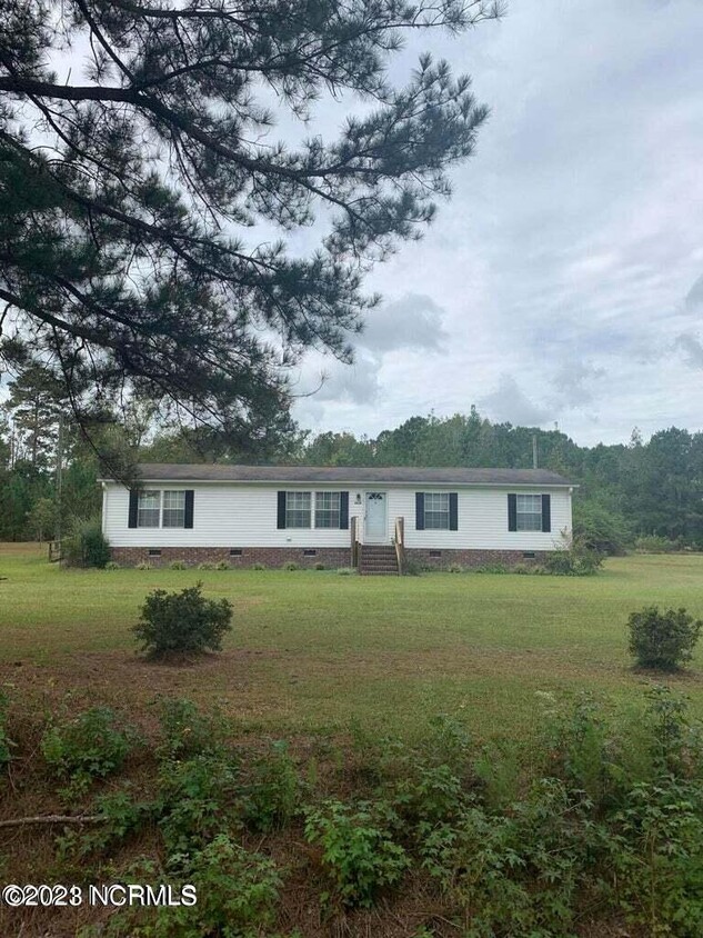
For rent. Furnished manufactured home with 4 bed-rooms and 2 full baths on 13.95 acres. Great opportunity to live the country life in a peaceful setting. Located on a quiet rural road with nearby Farms. Home includes furnishings. Tenant pays all utilities, background check required with 1 months rent deposit. Small house trained dog allowed up to 10lbs. with a non refundable pet deposit. NO CATS OR FARM ANIMALS. No more then 6 occupants, subject to inspections.
4210 Scronce Rd is a house located in Sampson County and the 28444 ZIP Code. This area is served by the Sampson County School District attendance zone.
House Features
- Smoke Free
- Smoke Free
| Colleges & Universities | Distance | ||
|---|---|---|---|
| Colleges & Universities | Distance | ||
| Drive: | 68 min | 45.2 mi | |
| Drive: | 64 min | 45.3 mi |


View GreatSchools Rating Methodology
Data provided by GreatSchools.org © 2026. All rights reserved.
Walkability Near 4210 Scronce Rd Harrells, NC 28444
Scores provided by
Traffic
-Airport
-Businesses
-Scores provided by
HowLoud What is a Sound Score Rating? A Sound Score Rating aggregates noise caused by vehicle traffic, airplane traffic and local sources. How It WorksWhat Are Walk Score®, Transit Score®, and Bike Score® Ratings?
Walk Score® measures the walkability of any address. Transit Score® measures access to public transit. Bike Score® measures the bikeability of any address.
What is a Sound Score Rating?
A Sound Score Rating aggregates noise caused by vehicle traffic, airplane traffic and local sources.
4210 Scronce Rd
Harrells, NC 28444