$2,200
/ Month
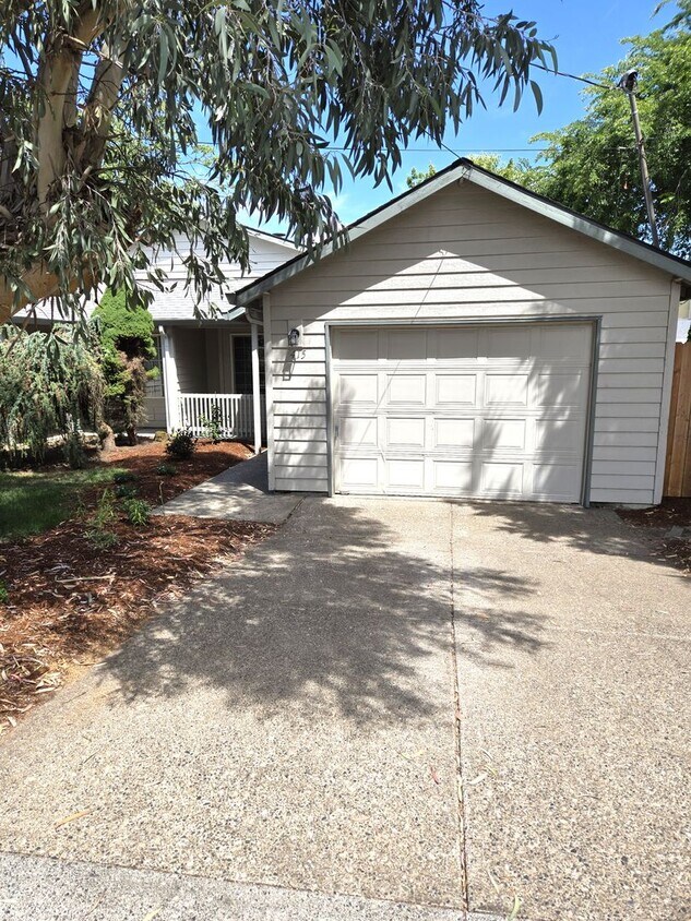
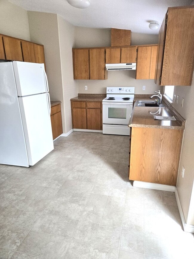
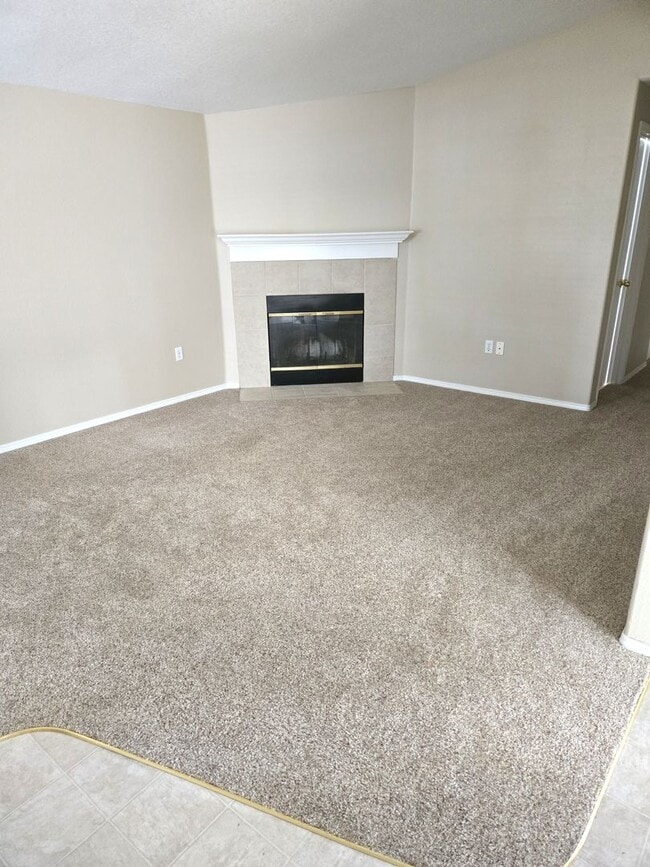
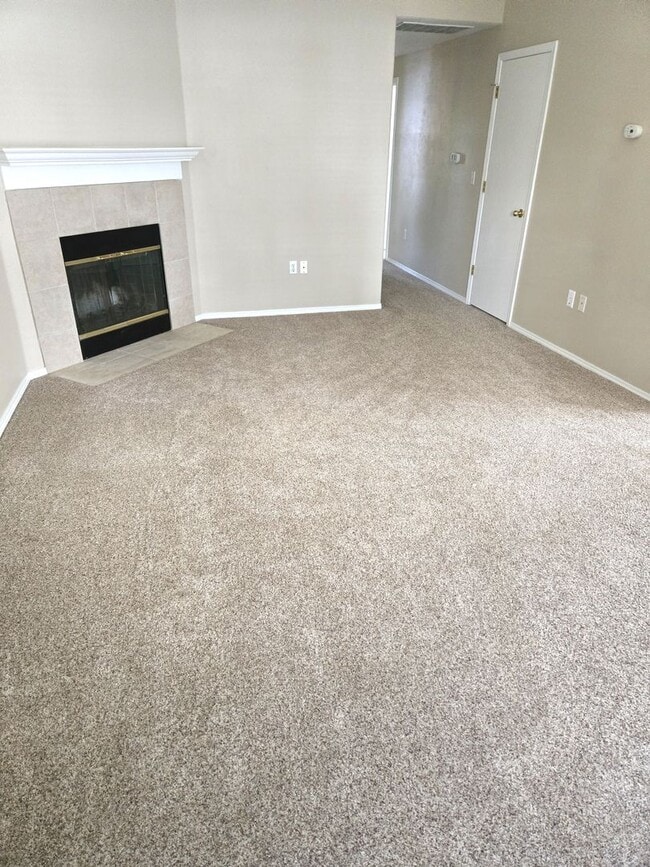
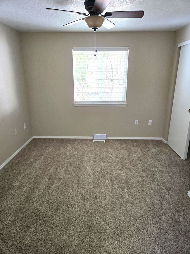
415 Hilda St Unit 415
Oregon City, OR 97045
Today
Favorites
503-723-7700
-
Bedrooms
3
-
Bathrooms
2
-
Square Feet
1,014 sq ft
-
Available
Available Now
415 Hilda St Unit 415

Favorites
Contact
- Listed by POPM, | POPM, Inc. dba Priority One Property Management
- Phone Number
- Contact
Location
Get Directions
Located just under two miles south of downtown Oregon City, Barclay Hills lies near the Trails End Highway. Residents who rent an apartment along Molalla Avenue have plenty of access to shopping areas and restaurants, from Loncheria Mitzil Mexican Eatery to New China. Locals enjoy exploring the wooded areas around Newell Creek, which runs through the neighborhood, or hanging out in Singer Creek Park. Running and hiking trails thread the 18-acre area, which features fruit orchards and a disk golf course.
For a little more action, make your way north to the downtown area, where you can walk along the Willamette River or dine at one of the many eateries overlooking the water, such as McMenamins or the Verdict Bar and Grill.
Learn more about living in Barclay Hills
Education
| Colleges & Universities | Distance | ||
|---|---|---|---|
| Colleges & Universities | Distance | ||
| Drive: | 6 min | 2.4 mi | |
| Drive: | 14 min | 7.6 mi | |
| Drive: | 23 min | 10.0 mi | |
| Drive: | 25 min | 16.6 mi |
415 Hilda St Unit 415 is within 6 minutes or 2.4 miles from Clackamas C.C., Oregon City. It is also near Clackamas C.C., Harmony Campus and Lewis & Clark College.
Transportation options available in Oregon City include Se Park Ave Max Station, located 6.9 miles from 415 Hilda St Unit 415. 415 Hilda St Unit 415 is near Portland International, located 20.0 miles or 32 minutes away.
| Transit / Subway | Distance | ||
|---|---|---|---|
| Transit / Subway | Distance | ||
| Drive: | 13 min | 6.9 mi | |
|
|
Drive: | 15 min | 8.0 mi |
| Drive: | 16 min | 8.0 mi | |
| Drive: | 19 min | 9.3 mi | |
|
|
Drive: | 16 min | 9.3 mi |
| Commuter Rail | Distance | ||
|---|---|---|---|
| Commuter Rail | Distance | ||
|
|
Drive: | 6 min | 2.1 mi |
|
|
Drive: | 19 min | 12.5 mi |
|
|
Drive: | 25 min | 16.8 mi |
|
|
Drive: | 26 min | 16.9 mi |
|
|
Drive: | 27 min | 18.0 mi |
| Airports | Distance | ||
|---|---|---|---|
| Airports | Distance | ||
|
Portland International
|
Drive: | 32 min | 20.0 mi |
Time and distance from 415 Hilda St Unit 415.
| Shopping Centers | Distance | ||
|---|---|---|---|
| Shopping Centers | Distance | ||
| Walk: | 14 min | 0.8 mi | |
| Walk: | 18 min | 0.9 mi | |
| Drive: | 2 min | 1.1 mi |
415 Hilda St Unit 415 has 3 shopping centers within 1.1 miles, which is about a 2-minute walk. The miles and minutes will be for the farthest away property.
| Parks and Recreation | Distance | ||
|---|---|---|---|
| Parks and Recreation | Distance | ||
|
McLoughlin House
|
Drive: | 3 min | 1.3 mi |
|
John Inskeep Environmental Learning Center
|
Drive: | 5 min | 2.1 mi |
|
Haggart Observatory
|
Drive: | 5 min | 2.1 mi |
|
Mary S. Young State Recreation Area
|
Drive: | 10 min | 4.0 mi |
|
Luscher Farm
|
Drive: | 18 min | 6.8 mi |
415 Hilda St Unit 415 has 5 parks within 6.8 miles, including McLoughlin House, John Inskeep Environmental Learning Center, and Haggart Observatory.
| Hospitals | Distance | ||
|---|---|---|---|
| Hospitals | Distance | ||
| Drive: | 3 min | 1.4 mi | |
| Drive: | 13 min | 7.6 mi | |
| Drive: | 17 min | 8.6 mi |
415 Hilda St Unit 415 has 3 hospitals within 8.6 miles, the nearest is Providence Willamette Falls Medical Center which is 1.4 miles away and a 3 minute drive.
| Military Bases | Distance | ||
|---|---|---|---|
| Military Bases | Distance | ||
| Drive: | 32 min | 19.2 mi | |
| Drive: | 56 min | 33.9 mi |
415 Hilda St Unit 415 is 19.2 miles from Portland Airport Air Guard Station, and is convenient to other military bases, including Camp Bonneville Military Reservation.
You May Also Like
Similar Rentals Nearby


What Are Walk Score®, Transit Score®, and Bike Score® Ratings?
Walk Score® measures the walkability of any address. Transit Score® measures access to public transit. Bike Score® measures the bikeability of any address.
What is a Sound Score Rating?
A Sound Score Rating aggregates noise caused by vehicle traffic, airplane traffic and local sources

415 Hilda St
Oregon City, OR 97045