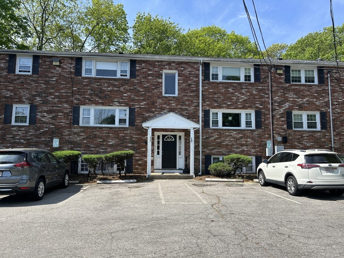
5 Beds, 5.5 Baths, 2,135 sq ft
41 Davis Ave
Norwood, MA 02062
-
Bedrooms
2
-
Bathrooms
1
-
Square Feet
800 sq ft
-
Available
Available Now

About This Home
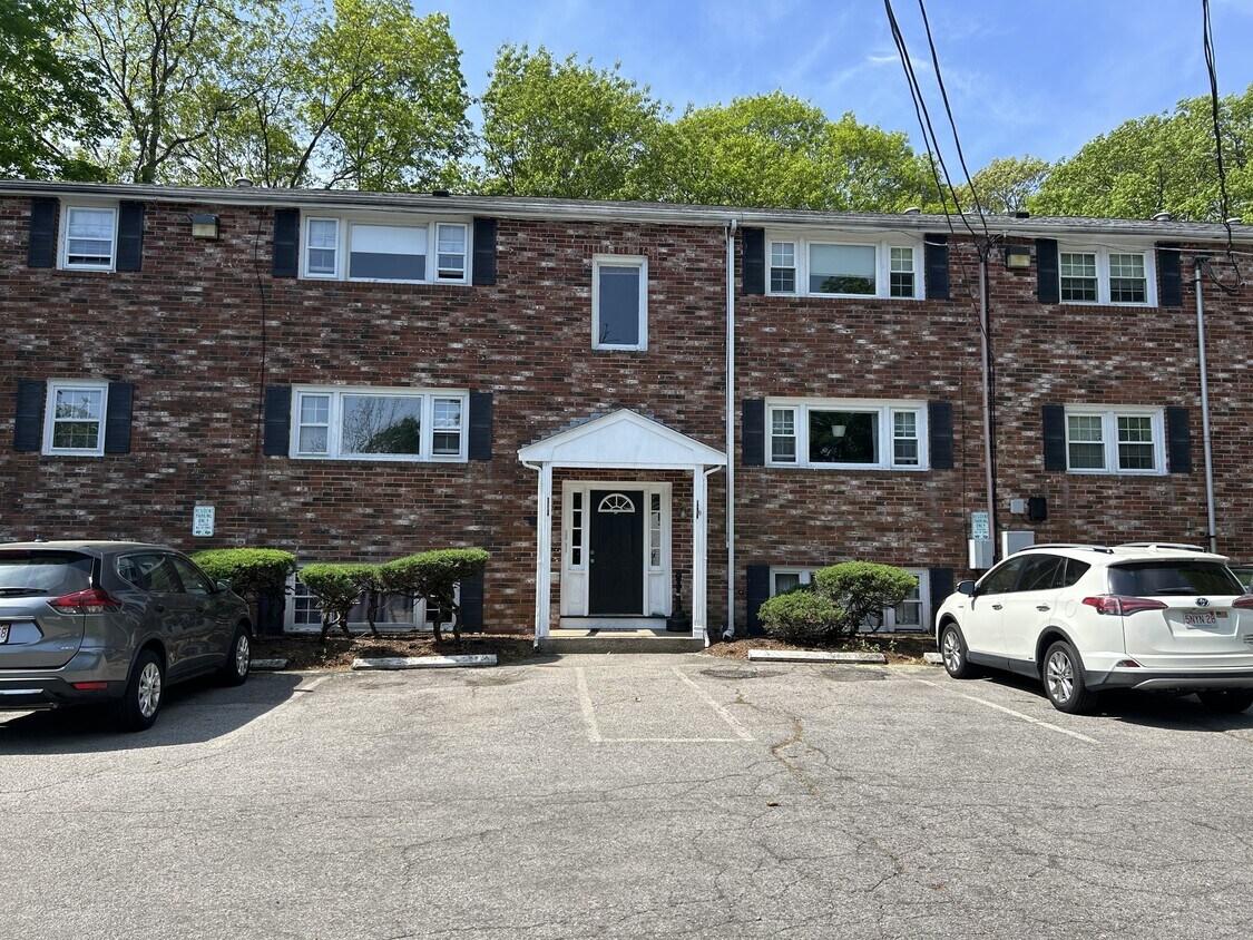
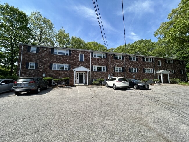
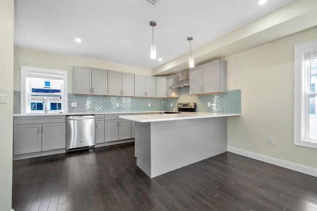
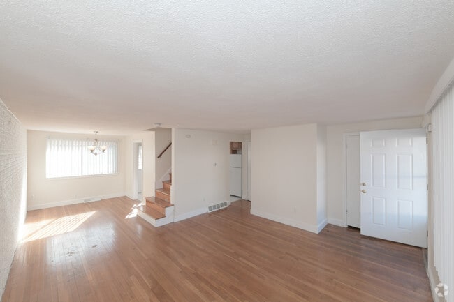
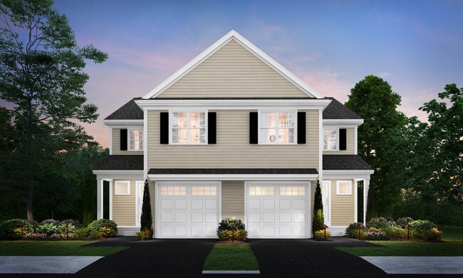
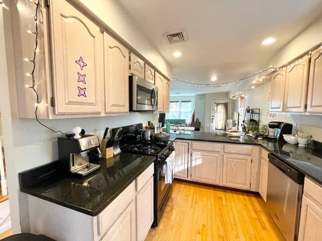
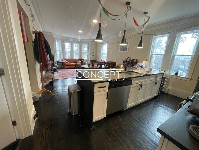
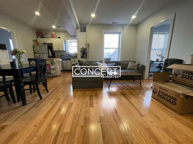
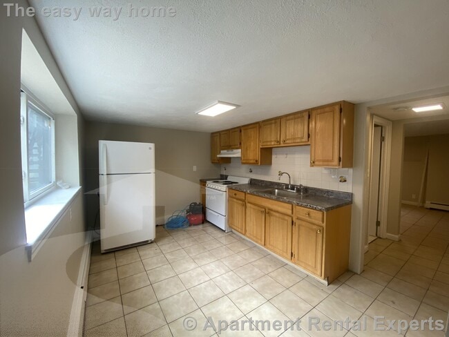
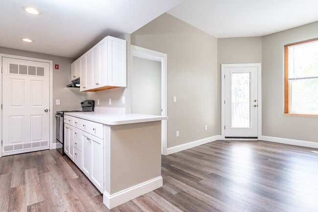
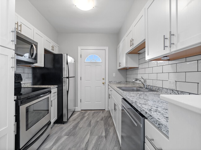
Immaculate 2-bedroom 1-bathroom condominium available for rent for February 1st! Hardwood floors throughout with excellent natural light. This spacious unit offers an eat-in kitchen with stainless steel appliances and upgraded cabinetry. Large living room and two large bedrooms. Central air-conditioning, Off-street parking, laundry in basement all located on a quiet dead end street in desirable Norwood. Immaculate 2-bedroom 1-bathroom condominium available for rent for February 1st! Hardwood floors throughout with excellent natural light. This spacious unit offers an eat-in kitchen with stainless steel appliances and upgraded cabinetry. Large living room and two large bedrooms. Central air-conditioning, Off-street parking, laundry in basement all located on a quiet dead end street in desirable Norwood.
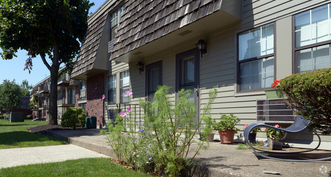
41 Davis Ave is a townhome located in Norfolk County and the 02062 ZIP Code. This area is served by the Norwood attendance zone.
Fees and Policies
The fees below are based on community-supplied data and may exclude additional fees and utilities.
-
One-Time Basics
-
Due at Move-In
-
Security Deposit - RefundableCharged per unit.$2,300
-
-
Due at Move-In
Property Fee Disclaimer: Based on community-supplied data and independent market research. Subject to change without notice. May exclude fees for mandatory or optional services and usage-based utilities.
Townhome Features
Washer/Dryer
Air Conditioning
Dishwasher
Hardwood Floors
- Washer/Dryer
- Air Conditioning
- Cable Ready
- Dishwasher
- Disposal
- Range
- Refrigerator
- Hardwood Floors
- Storage Space
Contact
- Listed by Joseph Murray
- Phone Number
- Contact
- Washer/Dryer
- Air Conditioning
- Cable Ready
- Dishwasher
- Disposal
- Range
- Refrigerator
- Hardwood Floors
- Storage Space
Norwood is a fairly large town about 45 minutes southwest of Boston. The downtown area surrounding the intersection of Washington and Nahatan Streets is a true slice of vintage Americana, with the town common, the local theater, a grocery store, and several cafes and specialty shops all within walking distance of one another. The low crime rate and the abundance of large parks and playgrounds add to the small-town appeal, particularly for families. Multiple MBTA stations and an airport in town make it easy to travel across the region or across the country without a hassle.
Learn more about living in Norwood| Colleges & Universities | Distance | ||
|---|---|---|---|
| Colleges & Universities | Distance | ||
| Drive: | 19 min | 8.3 mi | |
| Drive: | 19 min | 8.9 mi | |
| Drive: | 23 min | 10.8 mi | |
| Drive: | 28 min | 13.1 mi |
 The GreatSchools Rating helps parents compare schools within a state based on a variety of school quality indicators and provides a helpful picture of how effectively each school serves all of its students. Ratings are on a scale of 1 (below average) to 10 (above average) and can include test scores, college readiness, academic progress, advanced courses, equity, discipline and attendance data. We also advise parents to visit schools, consider other information on school performance and programs, and consider family needs as part of the school selection process.
View GreatSchools Rating Methodology
Data provided by GreatSchools.org © 2026. All rights reserved.
Transportation options available in Norwood include Mattapan Station, located 11.0 miles from 41 Davis Ave. 41 Davis Ave is near General Edward Lawrence Logan International, located 20.1 miles or 39 minutes away, and Rhode Island Tf Green International, located 38.8 miles or 58 minutes away.
| Transit / Subway | Distance | ||
|---|---|---|---|
| Transit / Subway | Distance | ||
|
|
Drive: | 21 min | 11.0 mi |
|
|
Drive: | 23 min | 11.5 mi |
|
|
Drive: | 23 min | 11.6 mi |
|
|
Drive: | 24 min | 12.0 mi |
|
|
Drive: | 23 min | 13.9 mi |
| Commuter Rail | Distance | ||
|---|---|---|---|
| Commuter Rail | Distance | ||
|
|
Drive: | 4 min | 1.7 mi |
|
|
Drive: | 5 min | 2.0 mi |
|
|
Drive: | 5 min | 2.1 mi |
|
|
Drive: | 7 min | 3.2 mi |
|
|
Drive: | 11 min | 5.0 mi |
| Airports | Distance | ||
|---|---|---|---|
| Airports | Distance | ||
|
General Edward Lawrence Logan International
|
Drive: | 39 min | 20.1 mi |
|
Rhode Island Tf Green International
|
Drive: | 58 min | 38.8 mi |
Time and distance from 41 Davis Ave.
| Shopping Centers | Distance | ||
|---|---|---|---|
| Shopping Centers | Distance | ||
| Walk: | 8 min | 0.4 mi | |
| Drive: | 7 min | 3.0 mi | |
| Drive: | 6 min | 3.0 mi |
| Parks and Recreation | Distance | ||
|---|---|---|---|
| Parks and Recreation | Distance | ||
|
Mass Audubon's Moose Hill Wildlife Sanctuary
|
Drive: | 14 min | 5.6 mi |
|
Mass Audubon's Mildred Morse Allen Wildlife Sanctuary
|
Drive: | 13 min | 6.4 mi |
|
Museum of American Bird Art at Mass Audubon
|
Drive: | 13 min | 6.4 mi |
|
Mass Audubon's Stony Brook Wildlife Sanctuary
|
Drive: | 15 min | 7.9 mi |
|
Mass Audubon's Blue Hills Trailside Museum
|
Drive: | 16 min | 9.0 mi |
| Hospitals | Distance | ||
|---|---|---|---|
| Hospitals | Distance | ||
| Drive: | 3 min | 1.6 mi | |
| Drive: | 7 min | 2.9 mi | |
| Drive: | 18 min | 8.7 mi |
| Military Bases | Distance | ||
|---|---|---|---|
| Military Bases | Distance | ||
| Drive: | 30 min | 12.5 mi |
You May Also Like
Similar Rentals Nearby
-
$7,900Total Monthly PriceTotal Monthly Price NewPrices include all required monthly fees.12 Month LeaseRoom for Rent
-
-
-
-
-
-
-
-
Total Monthly Price New2 Beds$2,230+Total Monthly PricePrices include all required monthly fees.
-
What Are Walk Score®, Transit Score®, and Bike Score® Ratings?
Walk Score® measures the walkability of any address. Transit Score® measures access to public transit. Bike Score® measures the bikeability of any address.
What is a Sound Score Rating?
A Sound Score Rating aggregates noise caused by vehicle traffic, airplane traffic and local sources
