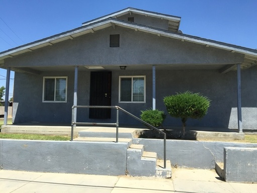
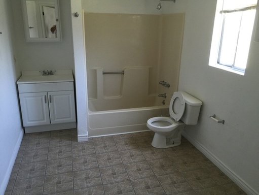
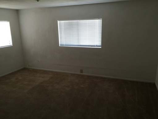
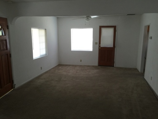
400 E St

Wasco, CA 93280

| Edit

Under 30 minutes

Commute Time is calculated at rush hour.
Share Listing
Favorites
400 E St
Share Listing
Favorites

Check Back Soon for Upcoming Availability

Beds Baths Average SF
4 Bedrooms 4 Bedrooms 4 Br 2 Baths 2 Baths 2 Ba 1,440 SF

About This Property

Four bedroom, 2 bath single family home available immediately. Central A/C and heat. Close to downtown Wasco.Home Available Now

400 E St is a house located in Kern County and the 93280 ZIP Code.

Location
400 E St, Wasco,
CA 93280
Get Directions
City - Wasco

Wasco is a rural community located about 25 miles northwest of Bakersfield in the San Joaquin Valley. Historically an agricultural town, the area surrounding Wasco is responsible for cultivating more than half of all roses grown in the United States—the annual Rose Festival is one of the year’s biggest events, drawing revelers from around the region. The region also hosts major oil and gas drilling operations, particularly at the Semitropic Oil Field just west of town. Within the city, charming neighborhoods of unpretentious homes and apartment communities dominate the landscape, with the small Downtown district along 7th Street forming the local shopping and dining headquarters.

Learn more about living in Wasco 
Education
Colleges & Universities Distance
Drive: 40 min 28.3 mi
Drive: 38 min 30.9 mi
400 E St is within 40 minutes or 28.3 miles from Cal State Bakersfield. It is also near Bakersfield College.
Transportation

400 E St is near Meadows Field, located 23.6 miles or 33 minutes away.

Commuter Rail Distance
Drive: 33 min 27.9 mi
Airports Distance
Airports Distance
Meadows Field
Drive: 33 min 23.6 mi

Walkability Near 400 E St Wasco, CA 93280

Getting Around
Fairly Walkable
Walkability
40 / 100
Limited Public Transit
Transit
20 / 100
Exceptionally Drivable
Drivability
100 / 100
Somewhat Bikeable
Bikeability
30 / 100

Scores provided by

What do Walkability, Transit, Drivability, and Bikeability mean? Walkability measures the walking distance to day-to-day needs. Transit measures access to public transportation. Drivability measures congestion, parking availability, and access to major roads. Bikeability measures the suitability for cycling. How It Works
-
Soundscore
- / 100

Traffic

-

Airport

-

Businesses

-

Scores provided by

HowLoud What is a Sound Score Rating? A Sound Score Rating aggregates noise caused by vehicle traffic, airplane traffic and local sources. How It Works
Points of Interest

Time and distance from 400 E St.

Shopping Centers Distance
Drive: 3 min 1.5 mi
Drive: 14 min 9.1 mi
400 E St has 2 shopping centers within 9.1 miles, which is about a 14-minute drive. The miles and minutes will be for the farthest away property.
Military Bases Distance
Drive: 115 min 83.7 mi
Drive: 117 min 84.3 mi
400 E St is 83.7 miles from Lemoore Naval Air Station Huron, and is convenient to other military bases, including Lemoore Naval Air Station Lemoore.

You May Also Like

Similar Rentals Nearby