

$1,695
/ Month
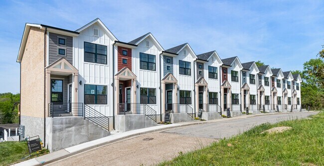
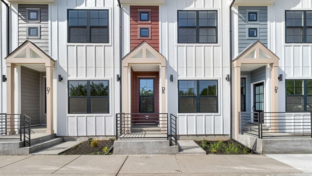
40 W High St
Clarksville, TN 37040
Favorites
40 W High St

Favorites
Check Back Soon for Upcoming Availability
| Beds | Baths | Average SF |
|---|---|---|
| 2 Bedrooms 2 Bedrooms 2 Br | 2.5 Baths 2.5 Baths 2.5 Ba | 1,480 SF |
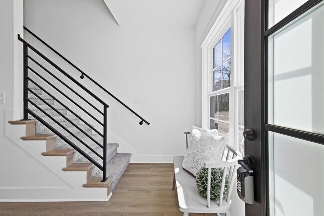
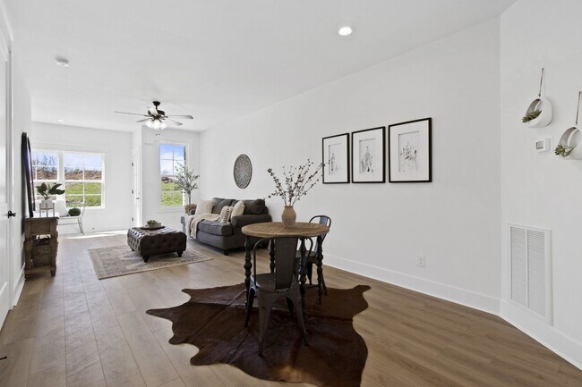
About This Property
This beautiful townhome is situated on a bluff overlooking the Cumberland River and Downton Clarksville! Call us today to setup a showing! If you are looking for an upscale living experience in close proximity to downtown look no further.
40 W High St is a house located in Montgomery County and the 37040 ZIP Code.
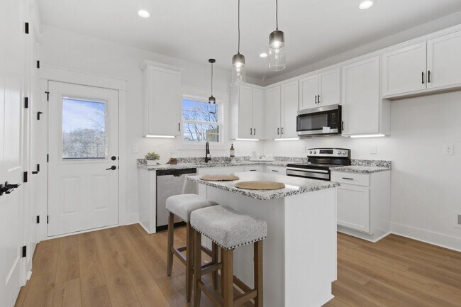
House Features
- Dishwasher
40 W High St,
Clarksville,
TN
37040
Clarksville sits along the Cumberland River in northwestern Tennessee, about 45 miles from Nashville, and carries a distinct identity shaped by two major anchors: Austin Peay State University and Fort Campbell, one of the country's largest Army installations and home to the storied 101st Airborne Division. Founded in 1785, the city has grown into Tennessee's fifth-most populous, spanning 285 square miles with a population topping 184,000. Downtown Clarksville draws people in with its preserved 19th-century architecture, the Customs House Museum, and the Roxy Regional Theatre, while neighborhoods like St. Bethlehem and Rossview offer newer development, retail corridors, and easy interstate access.
The rental landscape here is genuinely varied. Apartment communities range from renovated historic buildings near Franklin Street to modern mid-rise developments along Wilma Rudolph Boulevard.
Learn more about living in Clarksville
Amenities
- Dishwasher
Education
| Colleges & Universities | Distance | ||
|---|---|---|---|
| Colleges & Universities | Distance | ||
| Drive: | 3 min | 1.6 mi |
40 W High St is within 3 minutes or 1.6 miles from Austin Peay State University.
Walkability Near 40 W High St Clarksville, TN 37040
Getting Around
 What do Walkability, Transit, Drivability, and Bikeability mean?
Walkability measures the walking distance to day-to-day needs.
Transit measures access to public transportation.
Drivability measures congestion, parking availability, and access to major roads.
Bikeability measures the suitability for cycling.
How It Works
What do Walkability, Transit, Drivability, and Bikeability mean?
Walkability measures the walking distance to day-to-day needs.
Transit measures access to public transportation.
Drivability measures congestion, parking availability, and access to major roads.
Bikeability measures the suitability for cycling.
How It Works
Fairly Walkable
Walkability
50
/ 100
Very Drivable
Drivability
80
/ 100
Fairly Bikeable
Bikeability
40
/ 100
Scores provided by
-
Soundscore™
-
/ 100
Traffic
-Airport
-Businesses
-Scores provided by
HowLoud What is a Sound Score Rating? A Sound Score Rating aggregates noise caused by vehicle traffic, airplane traffic and local sources. How It WorksYou May Also Like
Similar Rentals Nearby


What Are Walk Score®, Transit Score®, and Bike Score® Ratings?
Walk Score® measures the walkability of any address. Transit Score® measures access to public transit. Bike Score® measures the bikeability of any address.
What is a Sound Score Rating?
A Sound Score Rating aggregates noise caused by vehicle traffic, airplane traffic and local sources.
40 W High St
Clarksville, TN 37040