

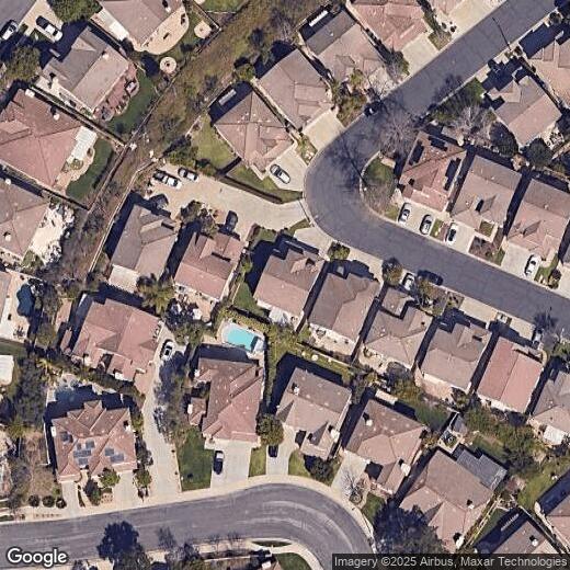
3948 Rodene St
3948 Rodene St
Thousand Oaks, CA 91320
Favorites
3948 Rodene St

Favorites
Check Back Soon for Upcoming Availability
| Beds | Baths | Average SF |
|---|---|---|
| 4 Bedrooms 4 Bedrooms 4 Br | 2.5 Baths 2.5 Baths 2.5 Ba | — |
3948 Rodene St,
Thousand Oaks,
CA
91320
Located in the Conejo Valley between Los Angeles and Santa Barbara, Thousand Oaks combines suburban living with natural surroundings. The city is home to thousands of protected oak trees and maintains more than one-third of its land as preserved open space. Residents enjoy 150 miles of trails perfect for outdoor recreation throughout the area's natural landscapes. Housing options include properties in the North Ranch area and apartments along Thousand Oaks Boulevard, with current rental rates averaging $2,582 for a one-bedroom apartment, reflecting a 0.82% decrease from the previous year.
The city serves as headquarters for Amgen, a major biotechnology company, contributing to the area's strong economic foundation. The Civic Arts Plaza and Fred Kavli Theatre anchor the downtown cultural scene with regular performances and events.
Learn more about living in Thousand Oaks
Education
| Colleges & Universities | Distance | ||
|---|---|---|---|
| Colleges & Universities | Distance | ||
| Drive: | 11 min | 6.5 mi | |
| Drive: | 16 min | 8.9 mi | |
| Drive: | 22 min | 14.1 mi | |
| Drive: | 26 min | 17.3 mi |
3948 Rodene St is within 11 minutes or 6.5 miles from CSU Channel Islands. It is also near California Lutheran University and Oxnard College.
Walkability Near 3948 Rodene St Thousand Oaks, CA 91320
Getting Around
 What do Walkability, Transit, Drivability, and Bikeability mean?
Walkability measures the walking distance to day-to-day needs.
Transit measures access to public transportation.
Drivability measures congestion, parking availability, and access to major roads.
Bikeability measures the suitability for cycling.
How It Works
What do Walkability, Transit, Drivability, and Bikeability mean?
Walkability measures the walking distance to day-to-day needs.
Transit measures access to public transportation.
Drivability measures congestion, parking availability, and access to major roads.
Bikeability measures the suitability for cycling.
How It Works
Fairly Walkable
Walkability
40
/ 100
Limited Public Transit
Transit
30
/ 100
Exceptionally Drivable
Drivability
90
/ 100
Moderately Bikeable
Bikeability
60
/ 100
Scores provided by
-
Soundscore™
-
/ 100
Traffic
-Airport
-Businesses
-Scores provided by
HowLoud What is a Sound Score Rating? A Sound Score Rating aggregates noise caused by vehicle traffic, airplane traffic and local sources. How It WorksYou May Also Like
Similar Rentals Nearby
-
-

-

-

-
 5 Beds, 6 Baths, 5,169 sq ft$10,500Total Monthly PriceTotal Monthly Price NewPrices include all required monthly fees.2493 Woodcreek Rd
 -
 5 Beds, 3 Baths, 2,683 sq ft$8,3501902 Stonesgate St
 -
 4 Beds, 4 Baths, 4,456 sq ft$39,950Total Monthly PriceTotal Monthly Price NewPrices include all required monthly fees.31654 Broad Beach Rd
 -
 4 Beds, 3 Baths, 1,868 sq ft$4,200Total Monthly PriceTotal Monthly Price NewPrices include all required monthly fees.15329 Bambi Ct
 -
 4 Beds, 3 Baths, 2,732 sq ft$5,900Total Monthly PriceTotal Monthly Price NewPrices include all required monthly fees.4353 Waterside Ln
 -
 5 Beds, 6 Baths, 6,255 sq ft$28,000Total Monthly Price12 Month LeaseTotal Monthly Price NewPrices include all required monthly fees.4130 Prado De Los Caballos
What Are Walk Score®, Transit Score®, and Bike Score® Ratings?
Walk Score® measures the walkability of any address. Transit Score® measures access to public transit. Bike Score® measures the bikeability of any address.
What is a Sound Score Rating?
A Sound Score Rating aggregates noise caused by vehicle traffic, airplane traffic and local sources.
3948 Rodene St
Thousand Oaks, CA 91320