
4312 Elizabeth St
4312 Elizabeth St,
Cudahy, CA 90201
3 Beds $2,995
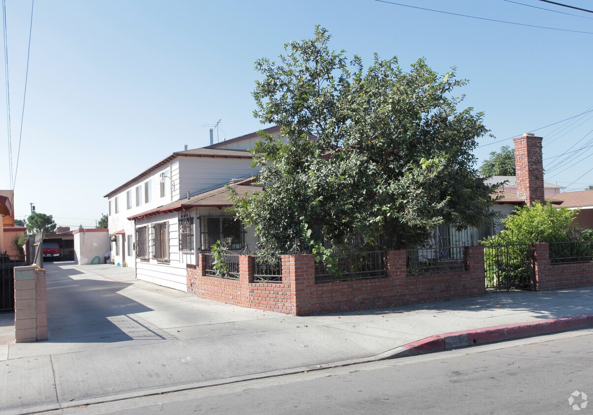
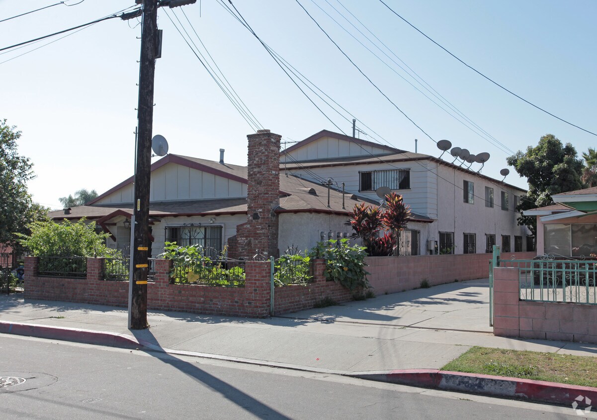
Discover true Cudahy living at 3928 Walnut St. Located at 3928 Walnut St. in Cudahy, this community is an ideal place for residents. Schedule a time to see the available floorplan options. The team of leasing professionals is ready to help you in finding the perfect fit. Visit 3928 Walnut St today.
3928 Walnut St is an apartment community located in Los Angeles County and the 90201 ZIP Code. This area is served by the Los Angeles Unified attendance zone.
Ten miles south of Downtown Los Angeles, the small city of Cudahy is a mostly-residential urban community on the west bank of the LA River. The rental market in town largely consists of low-rise apartments and condos, generally going for under $2000 per month. Just north of town, Atlantic Avenue serves as a major nearby commercial corridor as it runs through the neighboring communities of Bell and Maywood; a smaller shopping center sits near the center of Cudahy, serving the day-to-day needs of the locals.
The local restaurant scene is filled with a variety of unpretentious international eateries, ranging from Thai bistros to Salvadoran cafes. Without going far you can easily reach everything from golf courses to movie theaters, and close proximity to the 710 and the 105 puts all of Los Angeles at your fingertips.
Learn more about living in Cudahy| Colleges & Universities | Distance | ||
|---|---|---|---|
| Colleges & Universities | Distance | ||
| Drive: | 5 min | 2.6 mi | |
| Drive: | 13 min | 8.4 mi | |
| Drive: | 15 min | 9.2 mi | |
| Drive: | 16 min | 9.6 mi |


Transportation options available in Cudahy include Florence Station, located 2.8 miles from 3928 Walnut St. 3928 Walnut St is near Los Angeles International, located 13.5 miles or 25 minutes away, and Long Beach (Daugherty Field), located 14.3 miles or 23 minutes away.
| Transit / Subway | Distance | ||
|---|---|---|---|
| Transit / Subway | Distance | ||
|
|
Drive: | 6 min | 2.8 mi |
|
|
Drive: | 7 min | 3.5 mi |
|
|
Drive: | 8 min | 4.0 mi |
|
|
Drive: | 9 min | 4.2 mi |
|
|
Drive: | 11 min | 5.4 mi |
| Commuter Rail | Distance | ||
|---|---|---|---|
| Commuter Rail | Distance | ||
|
|
Drive: | 11 min | 4.8 mi |
|
|
Drive: | 13 min | 6.3 mi |
|
|
Drive: | 17 min | 8.0 mi |
|
|
Drive: | 15 min | 8.2 mi |
| Drive: | 19 min | 12.1 mi |
| Airports | Distance | ||
|---|---|---|---|
| Airports | Distance | ||
|
Los Angeles International
|
Drive: | 25 min | 13.5 mi |
|
Long Beach (Daugherty Field)
|
Drive: | 23 min | 14.3 mi |
Time and distance from 3928 Walnut St.
| Shopping Centers | Distance | ||
|---|---|---|---|
| Shopping Centers | Distance | ||
| Walk: | 7 min | 0.4 mi | |
| Walk: | 12 min | 0.6 mi | |
| Walk: | 12 min | 0.7 mi |
| Parks and Recreation | Distance | ||
|---|---|---|---|
| Parks and Recreation | Distance | ||
|
Augustus Hawkins Natural Park
|
Drive: | 7 min | 4.0 mi |
|
Watts Senior Center & Rose Garden
|
Drive: | 10 min | 5.1 mi |
|
Watts Towers-Rodia State Park
|
Drive: | 11 min | 5.8 mi |
|
Hollenbeck Lake
|
Drive: | 12 min | 6.1 mi |
|
Compton Creek Natural Park at George Washington Elementary
|
Drive: | 15 min | 8.2 mi |
| Hospitals | Distance | ||
|---|---|---|---|
| Hospitals | Distance | ||
| Drive: | 5 min | 2.7 mi | |
| Drive: | 7 min | 3.1 mi | |
| Drive: | 10 min | 6.6 mi |
| Military Bases | Distance | ||
|---|---|---|---|
| Military Bases | Distance | ||
| Drive: | 23 min | 15.1 mi |
What Are Walk Score®, Transit Score®, and Bike Score® Ratings?
Walk Score® measures the walkability of any address. Transit Score® measures access to public transit. Bike Score® measures the bikeability of any address.
What is a Sound Score Rating?
A Sound Score Rating aggregates noise caused by vehicle traffic, airplane traffic and local sources

3928 Walnut St
Cudahy, CA 90201


 - Violet on Virgil")


