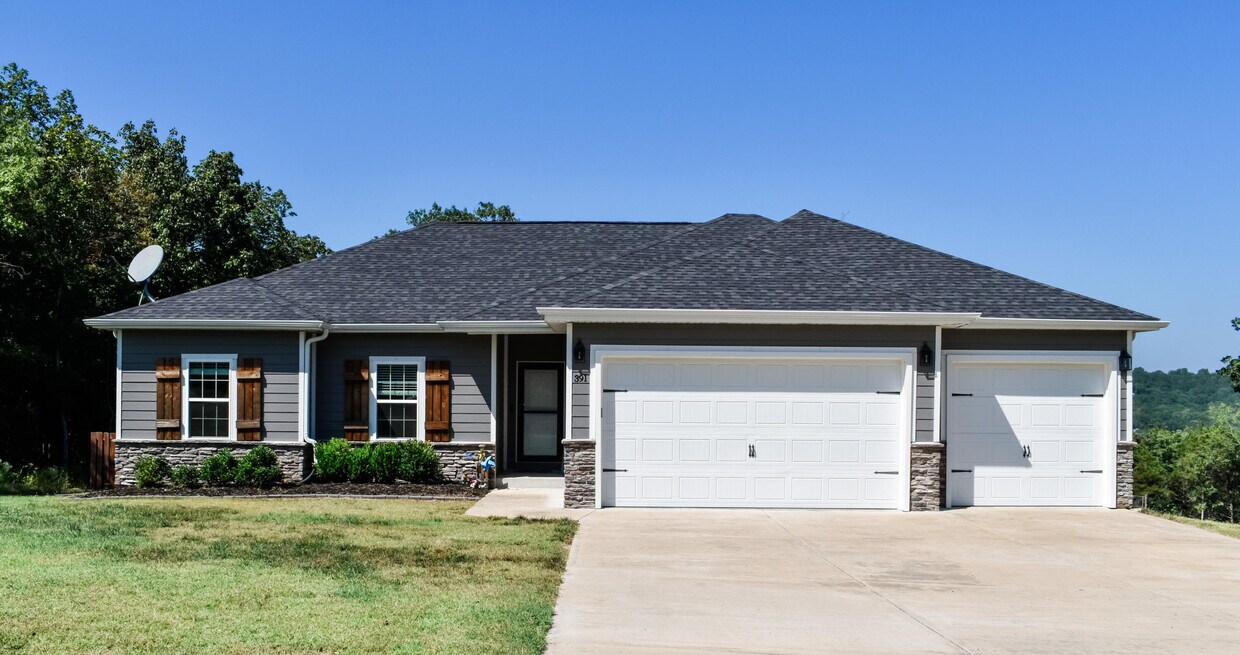
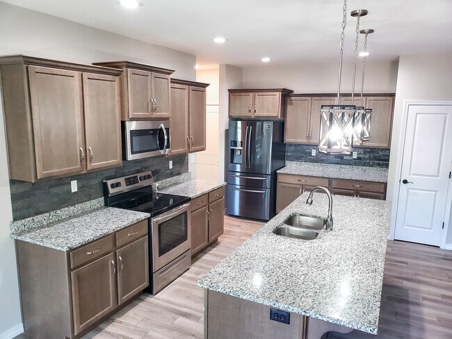
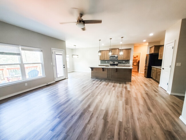
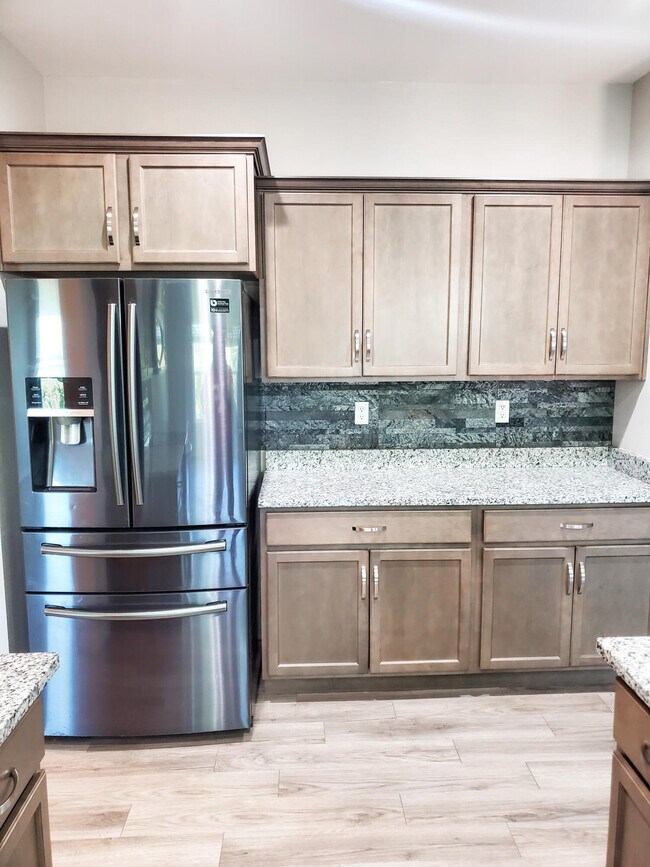
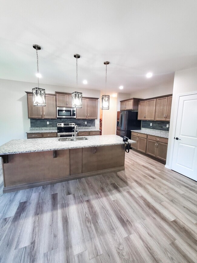
$2,500 / Month

391 Highpoints Ridge

,

Branson, MO 65616

Share Listing
Favorites
391 Highpoints Ridge
Share Listing
Favorites

Check Back Soon for Upcoming Availability

Beds Baths Average SF
4 Bedrooms 4 Bedrooms 4 Br 2 Baths 2 Baths 2 Ba 1,699 SF

Fees and Policies

Details

Lease Options

  • 12 Months

About This Property

Amazing home in the sought after neighborhood of Emory Creek. All appliances included with the lease including the washer and dryer. Kitchen has an over-sized island with seating and a beautiful luxury vinyl flooring throughout. Enjoy the outdoor space with a large back yard that is fenced in.

391 Highpoints Ridge is a house located in Taney County and the 65616 ZIP Code. This area is served by the Branson R-Iv School District attendance zone.

House Features

  • Air Conditioning
  • Fenced Lot
  • Deck
Location
391 Highpoints Ridge, Branson,
MO 65616
Get Directions
| Edit

Under 30 minutes

Commute Time is calculated at rush hour.
Amenities
  • Air Conditioning
  • Fenced Lot
  • Deck
Education
Colleges & Universities Distance
Drive: 19 min 9.0 mi
Drive: 25 min 14.4 mi
Drive: 60 min 40.7 mi
Drive: 60 min 42.5 mi
391 Highpoints Ridge is within 19 minutes or 9.0 miles from Ozarks Tech. C.C., Branson. It is also near College of the Ozarks and Missouri State University.
Schools
Public Elementary School
Grades PK-5
308 Students
Nearby
Public Elementary School
Grades K-5
473 Students
Attendance Zone
Public Elementary School
Grades K-5
594 Students
Attendance Zone
Public Middle School
Grades 6-8
724 Students
Attendance Zone
Public High School
Grades 9-12
1,423 Students
Attendance Zone
Private Elementary, Middle & High School
Grades PK-12
35 Students
Nearby
Private Elementary, Middle & High School
Grades K-12
7 Students
Nearby
Private Elementary School
Grades PK-5
19 Students
Nearby
Transportation

Walkability Near 391 Highpoints Ridge Branson, MO 65616

Getting Around
Not Walkable
Walkability
0 / 100
Exceptionally Drivable
Drivability
90 / 100
Not Bikeable
Bikeability
10 / 100

Scores provided by

What do Walkability, Transit, Drivability, and Bikeability mean? Walkability measures the walking distance to day-to-day needs. Transit measures access to public transportation. Drivability measures congestion, parking availability, and access to major roads. Bikeability measures the suitability for cycling. How It Works
-
Soundscore
- / 100

Traffic

-

Airport

-

Businesses

-

Scores provided by

HowLoud What is a Sound Score Rating? A Sound Score Rating aggregates noise caused by vehicle traffic, airplane traffic and local sources. How It Works
Points of Interest

Time and distance from 391 Highpoints Ridge.

Shopping Centers Distance
Drive: 18 min 8.5 mi
Drive: 18 min 8.6 mi
Drive: 19 min 8.8 mi
391 Highpoints Ridge has 3 shopping centers within 8.8 miles, which is about a 19-minute drive. The miles and minutes will be for the farthest away property.
Parks and Recreation Distance
Marvel Cave
Drive: 22 min 10.0 mi
Branson Scenic Railway
Drive: 21 min 11.4 mi
Talking Rocks Cavern
Drive: 28 min 15.2 mi
391 Highpoints Ridge has 3 parks within 15.2 miles, including Marvel Cave, Branson Scenic Railway, and Talking Rocks Cavern.
Hospitals Distance
Hospitals Distance
Drive: 20 min 10.7 mi
391 Highpoints Ridge is 10.7 miles and a 20 minute drive from Cox Medical Center Branson.

Similar Rentals Nearby