


6 Beds, 5.5 Baths, 5,600 sq ft
$14,750
Total Monthly Price
12 Month Lease
Total Monthly Price
New
Prices include all required monthly fees.
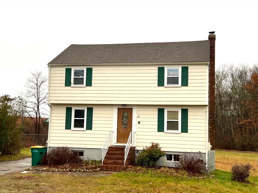
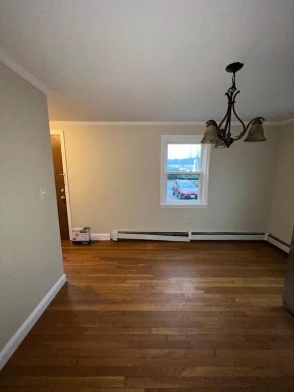
40 Puddingstone Ln


