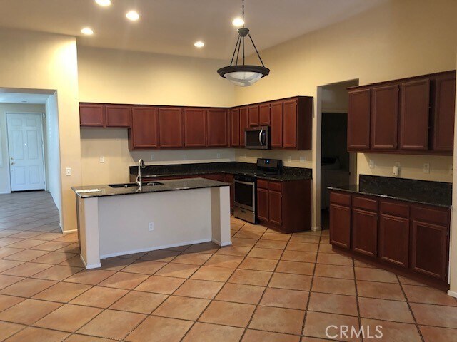
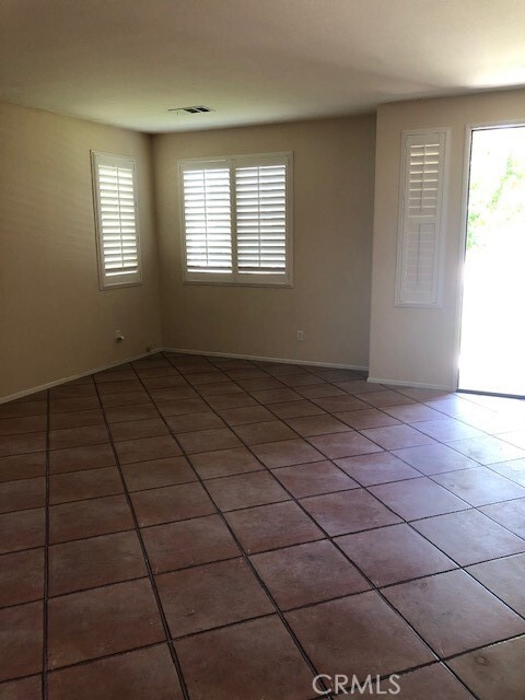
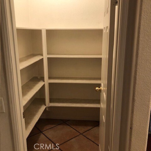
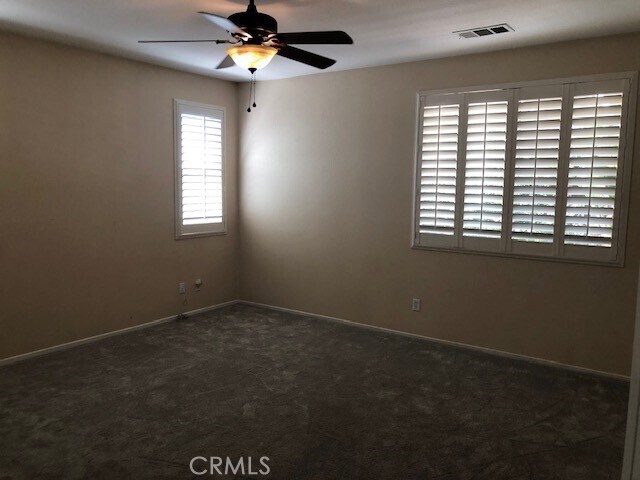
$2,650 / Month

38167 Padaro St

,

Murrieta, CA 92563

2 Weeks Ago
| Edit

Under 30 minutes

Commute Time is calculated at rush hour.
Share Listing
Favorites
  • Bedrooms

    3

  • Bathrooms

    2

  • Square Feet

    2,058 sq ft

38167 Padaro St
Share Listing
Favorites

Contact

  • Listed by Locayt
City - Murrieta

Murrieta, located in southwestern Riverside County, combines suburban living with natural surroundings. The city maintains 52 parks and recreational areas, including community pools, disc golf courses, and equestrian facilities. One-bedroom apartments in Murrieta rent for $2,169 monthly, while two-bedroom units average $2,449. Established neighborhoods near downtown and along Interstate 15 offer diverse housing options from apartments to single-family rental homes.

The area's history stretches back to the Luiseño people, with the city later developing around its natural hot springs and the arrival of the Southern California Railroad in the 1800s. Today, residents have access to healthcare at Loma Linda University Medical Center and Rancho Springs Medical Center. The Mediterranean climate makes outdoor recreation possible throughout the year at locations like the Bear Creek Golf Club, an 18-hole championship course.

Learn more about living in Murrieta 
Education
Colleges & Universities Distance
Drive: 21 min 14.1 mi
Drive: 37 min 25.3 mi
Drive: 43 min 29.9 mi
Drive: 47 min 34.6 mi
38167 Padaro St is within 21 minutes or 14.1 miles from Mt San Jacinto Coll., Menifee. It is also near Mt San Jacinto Coll. and Moreno Valley College.
Transportation
Commuter Rail Distance
Drive: 28 min 20.7 mi
Drive: 31 min 23.2 mi
Drive: 42 min 32.3 mi
Drive: 53 min 38.3 mi
Drive: 53 min 42.7 mi
Getting Around
Somewhat Walkable
Walkability
20 / 100
Minimal Public Transit
Transit
0 / 100
Very Drivable
Drivability
80 / 100
Fairly Bikeable
Bikeability
40 / 100

Scores provided by

What do Walkability, Transit, Drivability, and Bikeability mean? Walkability measures the walking distance to day-to-day needs. Transit measures access to public transportation. Drivability measures congestion, parking availability, and access to major roads. Bikeability measures the suitability for cycling. How It Works
-
Soundscore
- / 100

Traffic

-

Airport

-

Businesses

-

Scores provided by

HowLoud What is a Sound Score Rating? A Sound Score Rating aggregates noise caused by vehicle traffic, airplane traffic and local sources. How It Works
Points of Interest

Time and distance from 38167 Padaro St.

Shopping Centers Distance
Drive: 7 min 3.4 mi
Drive: 7 min 4.0 mi
38167 Padaro St has 2 shopping centers within 4.0 miles, which is about a 7-minute drive. The miles and minutes will be for the farthest away property.
Parks and Recreation Distance
Temecula Chilren's Museum
Drive: 13 min 7.9 mi
38167 Padaro St has a nearby park, Temecula Chilren's Museum , located 7.9 miles or 13 minutes away.
Hospitals Distance
Hospitals Distance
Drive: 10 min 5.6 mi
Drive: 14 min 7.9 mi
Drive: 13 min 7.9 mi
38167 Padaro St has 3 hospitals within 7.9 miles, the nearest is Southwest Healthcare System which is 5.6 miles away and a 10 minute drive.
Military Bases Distance
Drive: 57 min 34.4 mi
Drive: 67 min 37.0 mi
38167 Padaro St is 34.4 miles from March Air Reserve Base, and is convenient to other military bases, including Marine Corps Base Camp Pendleton.

Similar Rentals Nearby