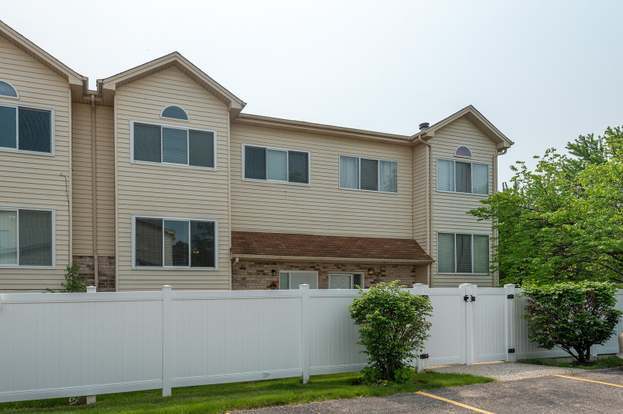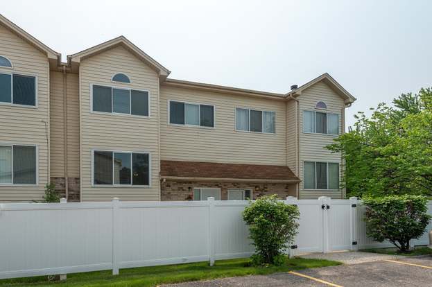
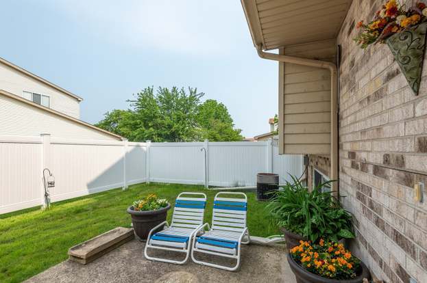
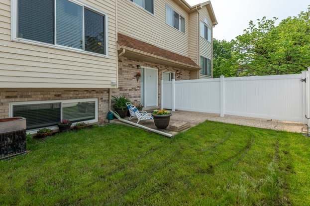
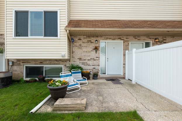

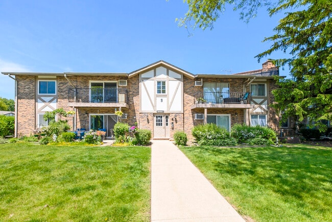
$2,000 / Month

381 Park Ridge Ln

,

Aurora, IL 60504

Share Listing
Favorites
  • Bedrooms

    2

  • Bathrooms

    3

  • Square Feet

    1,903 sq ft

381 Park Ridge Ln
Share Listing
Favorites

Contact

  • Listed by Locayt
| Edit

Under 30 minutes

Commute Time is calculated at rush hour.
Neighborhood

Far East , Aurora is bounded by State Route 59 to the east, Normantown Road to the west, McCoy Drive to the north, and includes about half of the White Eagle Country Club to the south. The area itself is almost directly between the heart of Aurora and Naperville. Sitting in the portion of Aurora closest to downtown Chicago, the Far East neighborhood gets its name from being exactly that, the farthest East. This welcoming suburban area has something for every renter, including low-rise apartments, single-family houses, and townhome communities. Those who commute into neighboring areas or even into Chicago frequently might find Aurora a convenient place to settle, mainly for the area’s proximity to Interstate 290 and 88.

Learn more about living in Far East 
Education
Colleges & Universities Distance
Drive: 6 min 2.8 mi
Drive: 12 min 5.6 mi
Drive: 11 min 5.7 mi
Drive: 16 min 7.6 mi
381 Park Ridge Ln is within 6 minutes or 2.8 miles from Waubonsee C.C., Copley Campus. It is also near North Central College and Waubonsee C.C., Aurora Campus.
Transportation

381 Park Ridge Ln is near Chicago Midway International, located 27.5 miles or 45 minutes away, and Chicago O'Hare International, located 34.2 miles or 51 minutes away.

Commuter Rail Distance
Drive: 9 min 4.2 mi
Drive: 12 min 5.5 mi
Drive: 14 min 6.6 mi
Drive: 22 min 11.3 mi
Drive: 23 min 11.3 mi
Airports Distance
Airports Distance
Chicago Midway International
Drive: 45 min 27.5 mi
Chicago O'Hare International
Drive: 51 min 34.2 mi
Getting Around
Fairly Walkable
Walkability
50 / 100
Minimal Public Transit
Transit
10 / 100
Moderately Drivable
Drivability
70 / 100
Moderately Bikeable
Bikeability
70 / 100

Scores provided by

What do Walkability, Transit, Drivability, and Bikeability mean? Walkability measures the walking distance to day-to-day needs. Transit measures access to public transportation. Drivability measures congestion, parking availability, and access to major roads. Bikeability measures the suitability for cycling. How It Works
-
Soundscore
- / 100

Traffic

-

Airport

-

Businesses

-

Scores provided by

HowLoud What is a Sound Score Rating? A Sound Score Rating aggregates noise caused by vehicle traffic, airplane traffic and local sources. How It Works
Points of Interest

Time and distance from 381 Park Ridge Ln.

Shopping Centers Distance
Walk: 10 min 0.5 mi
Drive: 4 min 1.1 mi
Drive: 4 min 1.2 mi
381 Park Ridge Ln has 3 shopping centers within 1.2 miles, which is about a 4-minute drive. The miles and minutes will be for the farthest away property.
Parks and Recreation Distance
Springbrook Prairie Forest Preserve
Drive: 8 min 4.1 mi
Phillips Park Zoo
Drive: 11 min 4.6 mi
McDowell Grove Forest Preserve
Drive: 11 min 5.4 mi
DuPage Children's Museum
Drive: 13 min 5.7 mi
SciTech
Drive: 12 min 5.7 mi
381 Park Ridge Ln has 5 parks within 5.7 miles, including Springbrook Prairie Forest Preserve, Phillips Park Zoo, and McDowell Grove Forest Preserve.
Hospitals Distance
Hospitals Distance
Drive: 5 min 2.6 mi
Drive: 9 min 4.7 mi
Drive: 11 min 5.4 mi
381 Park Ridge Ln has 3 hospitals within 5.4 miles, the nearest is Copley Memorial Hospital which is 2.6 miles away and a 5 minute drive.
Military Bases Distance
Drive: 18 min 8.5 mi
Drive: 21 min 9.1 mi
Drive: 32 min 11.7 mi
381 Park Ridge Ln has 3 military bases within 11.7 miles, the nearest is US Military Reservation Naperville which is 8.5 miles away and a 18 minute drive.

You May Also Like

Similar Rentals Nearby