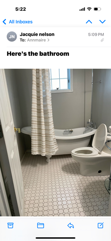
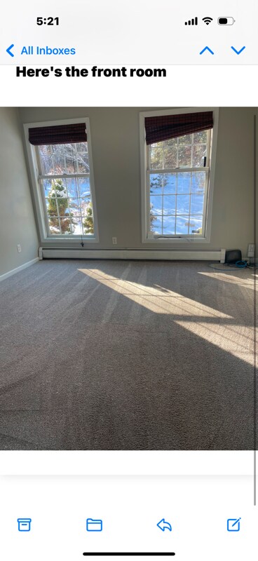
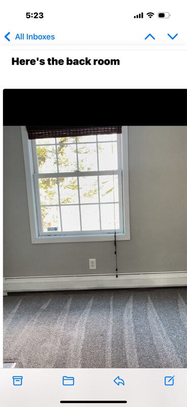
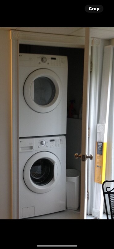
$1,100 Plus Fees

38 Becket Rd

,

Becket, MA 01223

2 Weeks Ago
| Edit

Under 30 minutes

Commute Time is calculated at rush hour.
Share Listing
Favorites
38 Becket Rd
Share Listing
Favorites

Check Back Soon for Upcoming Availability

Beds Baths Average SF
1 Bedroom 1 Bedroom 1 Br 1 Bath 1 Bath 1 Ba 450 SF

Fees and Policies

The fees listed below are community-provided and may exclude utilities or add-ons. All payments are made directly to the property and are non-refundable unless otherwise specified.

Details

Utilities Included

  • Gas
  • Water
  • Electricity
  • Trash Removal
  • Sewer

About This Property

Property Id: 1642752 Includes all utilities - 1 mounted tv - 6 month lease with possibie month to month after. Should have 4 wheel drive for winter.

38 Becket Rd is an apartment community located in Berkshire County and the 01223 ZIP Code.

Features

  • Washer/Dryer
Location
38 Becket Rd, Becket,
MA 01223
Get Directions
Amenities
  • Washer/Dryer
Expenses
Utilities Included
Gas, Water, Electricity, Trash Removal, Sewer Included
Education
Colleges & Universities Distance
Drive: 42 min 23.3 mi
Drive: 57 min 29.8 mi
Drive: 56 min 30.4 mi
Drive: 68 min 36.8 mi
38 Becket Rd is within 42 minutes or 23.3 miles from Westfield State University. It is also near Smith College and Holyoke Community College.
Transportation

38 Becket Rd is near Bradley International, located 42.8 miles or 84 minutes away.

Commuter Rail Distance
Drive: 42 min 17.9 mi
Drive: 58 min 31.2 mi
Drive: 61 min 32.4 mi
Drive: 62 min 34.7 mi
Drive: 84 min 50.5 mi
Airports Distance
Airports Distance
Bradley International
Drive: 84 min 42.8 mi

Walkability Near 38 Becket Rd Becket, MA 01223

Getting Around
Not Walkable
Walkability
10 / 100
Exceptionally Drivable
Drivability
90 / 100
Somewhat Bikeable
Bikeability
30 / 100

Scores provided by

What do Walkability, Transit, Drivability, and Bikeability mean? Walkability measures the walking distance to day-to-day needs. Transit measures access to public transportation. Drivability measures congestion, parking availability, and access to major roads. Bikeability measures the suitability for cycling. How It Works
-
Soundscore
- / 100

Traffic

-

Airport

-

Businesses

-

Scores provided by

HowLoud What is a Sound Score Rating? A Sound Score Rating aggregates noise caused by vehicle traffic, airplane traffic and local sources. How It Works
Points of Interest

Time and distance from 38 Becket Rd.

Shopping Centers Distance
Drive: 28 min 14.9 mi
38 Becket Rd has 1 shopping centers within 14.9 miles, which is about a 28-minute drive. The miles and minutes will be for the farthest away property.
Parks and Recreation Distance
Chester-Blandford State Forest
Drive: 20 min 10.5 mi
Otis Ridge Ski Area
Drive: 28 min 16.6 mi
October Mountain State Forest
Drive: 35 min 17.3 mi
Berkshire Scenic Railway Museum
Drive: 36 min 17.7 mi
38 Becket Rd has 4 parks within 17.7 miles, including Chester-Blandford State Forest, Otis Ridge Ski Area, and October Mountain State Forest.
Military Bases Distance
Drive: 52 min 26.4 mi
Drive: 67 min 38.8 mi
Drive: 99 min 60.5 mi
38 Becket Rd has 3 military bases within 60.5 miles, the nearest is Barnes Map Air Guard Station which is 26.4 miles away and a 52 minute drive.

You May Also Like

Similar Rentals Nearby