

$1,025
/ Month
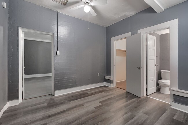
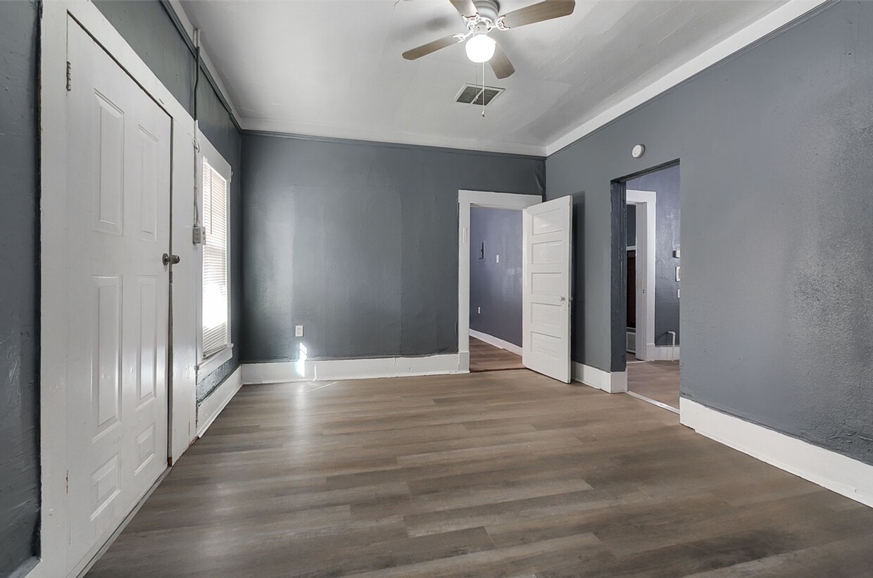
3511 Pershing Dr Unit 3511 Pershing #2
El Paso, TX 79903
2 Weeks Ago
|
Edit
Favorites
3511 Pershing Dr Unit 3511 Pershing #2

Favorites
Check Back Soon for Upcoming Availability
| Beds | Baths | Average SF |
|---|---|---|
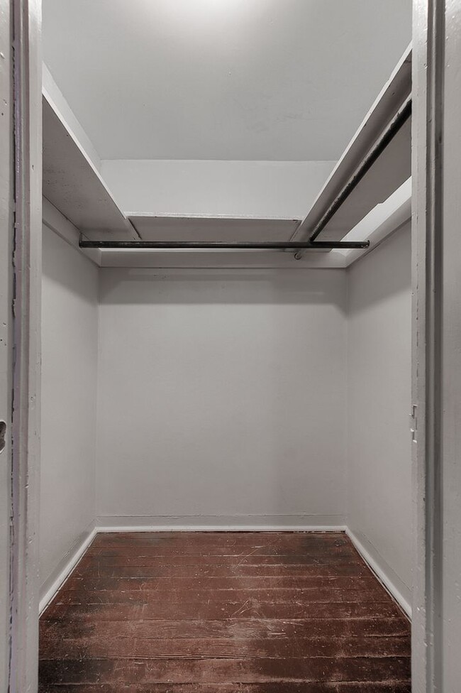
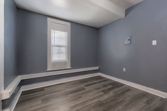
| 2 Bedrooms 2 Bedrooms 2 Br | 2 Baths 2 Baths 2 Ba | 850 SF |
3511 Pershing Dr,
El Paso,
TX
79903
The triangle-shaped Pershing-Government Hill neighborhood sits about three miles northeast of downtown El Paso, not far from the U.S.-Mexico border. The neighborhood was originally planned as a residential subdivision of the city in 1906 when city planners sought to make use of the large area of vacant land between downtown and the U.S. Army post Fort Bliss.
Route 54 lies just to the east of the neighborhood, connecting to Interstate 10 to the south which allows for quick commutes to downtown and various destinations throughout the city. Memorial Park lies in the northwest, providing residents with walking trails, softball fields, tennis courts, a swimming pool, and playground.
Residents looking for a break from Tex-Mex cuisine venture to the Italian Kitchen for generous portions of pasta. For a bit of nightlife, locals appreciate the cozy, popular Love Buzz and its wide selection of cocktails and craft beer.
Learn more about living in Pershing-Government HillBelow are rent ranges for similar nearby apartments
Education
| Colleges & Universities | Distance | ||
|---|---|---|---|
| Colleges & Universities | Distance | ||
| Drive: | 6 min | 3.5 mi | |
| Drive: | 8 min | 4.2 mi | |
| Drive: | 11 min | 5.9 mi | |
| Drive: | 12 min | 7.4 mi |
3511 Pershing Dr Unit 3511 Pershing #2 is within 6 minutes or 3.5 miles from El Paso C.C., Rio Grande. It is also near UT El Paso and El Paso C.C., Valle Verde.
Walkability Near 3511 Pershing Dr El Paso, TX 79903
Getting Around
 What do Walkability, Transit, Drivability, and Bikeability mean?
Walkability measures the walking distance to day-to-day needs.
Transit measures access to public transportation.
Drivability measures congestion, parking availability, and access to major roads.
Bikeability measures the suitability for cycling.
How It Works
What do Walkability, Transit, Drivability, and Bikeability mean?
Walkability measures the walking distance to day-to-day needs.
Transit measures access to public transportation.
Drivability measures congestion, parking availability, and access to major roads.
Bikeability measures the suitability for cycling.
How It Works
Moderately Walkable
Walkability
60
/ 100
Some Public Transit
Transit
50
/ 100
Very Drivable
Drivability
80
/ 100
Fairly Bikeable
Bikeability
50
/ 100
Scores provided by
-
Soundscore™
-
/ 100
Traffic
-Airport
-Businesses
-Scores provided by
HowLoud What is a Sound Score Rating? A Sound Score Rating aggregates noise caused by vehicle traffic, airplane traffic and local sources. How It WorksYou May Also Like
Similar Rentals Nearby
-
-
-
-
-
2 Beds$745+Total Monthly PriceTotal Monthly Price NewPrices include all required monthly fees.
Pets Allowed Pool Dishwasher Range CableReady Heat
-
-
-
-
-


What Are Walk Score®, Transit Score®, and Bike Score® Ratings?
Walk Score® measures the walkability of any address. Transit Score® measures access to public transit. Bike Score® measures the bikeability of any address.
What is a Sound Score Rating?
A Sound Score Rating aggregates noise caused by vehicle traffic, airplane traffic and local sources.
3511 Pershing Dr
El Paso, TX 79903