
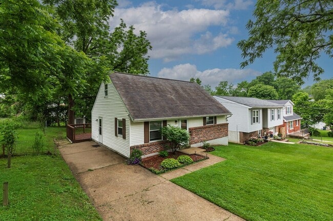
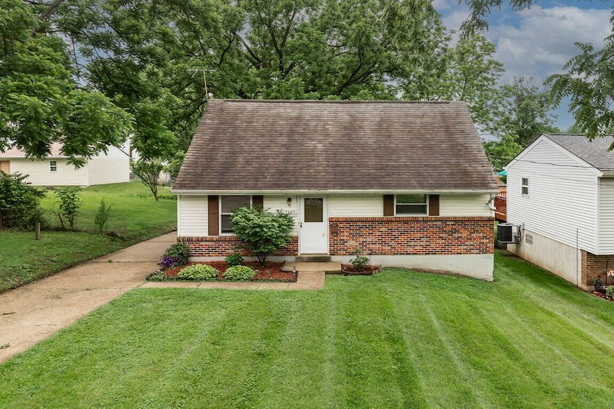
3507 Thomas St
Erlanger, KY 41018
-
Bedrooms
4
-
Bathrooms
2
-
Square Feet
1,275 sq ft
-
Available
Available Now
Highlights
- Yard
- Fireplace
- Basement
- Deck
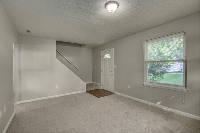
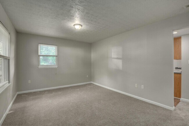
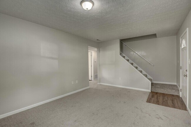
About This Home
Not ready to purchase but ready for a great home? This four-bedroom, two-bath home is perfect. Great location, all new flooring & paint. Enjoy a great backyard, off-street parking, and being conveniently located to everything.
3507 Thomas St is a house located in Kenton County and the 41018 ZIP Code.
House Features
Air Conditioning
Dishwasher
High Speed Internet Access
Refrigerator
- High Speed Internet Access
- Air Conditioning
- Heating
- Cable Ready
- Fireplace
- Dishwasher
- Kitchen
- Oven
- Range
- Refrigerator
- Carpet
- Vinyl Flooring
- Basement
- Views
- Porch
- Deck
- Yard
Contact
- Phone Number
- Contact
Erlanger is a small Boone County city located ten minutes down Interstate 71 from Cincinnati. Most of the city’s landscape is covered by residential neighborhoods, with parks and golf courses providing great opportunities to spend quality time outdoors. Highway 25 serves as the main commercial corridor through town, with most of Erlanger’s restaurants and shopping centers clustered along this route. The close proximity to Cincinnati (as well as being practically next door to Cincinnati/ Northern Kentucky International Airport) makes Erlanger a popular option for commuters seeking a more tranquil suburban lifestyle.
Learn more about living in Erlanger- High Speed Internet Access
- Air Conditioning
- Heating
- Cable Ready
- Fireplace
- Dishwasher
- Kitchen
- Oven
- Range
- Refrigerator
- Carpet
- Vinyl Flooring
- Basement
- Views
- Porch
- Deck
- Yard
| Colleges & Universities | Distance | ||
|---|---|---|---|
| Colleges & Universities | Distance | ||
| Drive: | 6 min | 2.9 mi | |
| Drive: | 15 min | 9.6 mi | |
| Drive: | 21 min | 13.9 mi | |
| Drive: | 29 min | 16.9 mi |
Transportation options available in Erlanger include The Banks Station - 2Nd & Main, located 9.8 miles from 3507 Thomas St. 3507 Thomas St is near Cincinnati/Northern Kentucky International, located 6.0 miles or 15 minutes away.
| Transit / Subway | Distance | ||
|---|---|---|---|
| Transit / Subway | Distance | ||
| Drive: | 15 min | 9.8 mi | |
| Drive: | 15 min | 9.9 mi | |
| Drive: | 16 min | 10.0 mi | |
| Drive: | 16 min | 10.1 mi | |
| Drive: | 16 min | 10.1 mi |
| Commuter Rail | Distance | ||
|---|---|---|---|
| Commuter Rail | Distance | ||
|
|
Drive: | 18 min | 10.8 mi |
| Airports | Distance | ||
|---|---|---|---|
| Airports | Distance | ||
|
Cincinnati/Northern Kentucky International
|
Drive: | 15 min | 6.0 mi |
Scores provided by
Traffic
-Airport
-Businesses
-Scores provided by
HowLoud What is a Sound Score Rating? A Sound Score Rating aggregates noise caused by vehicle traffic, airplane traffic and local sources. How It WorksTime and distance from 3507 Thomas St.
| Shopping Centers | Distance | ||
|---|---|---|---|
| Shopping Centers | Distance | ||
| Walk: | 4 min | 0.3 mi | |
| Walk: | 13 min | 0.7 mi | |
| Walk: | 14 min | 0.7 mi |
| Parks and Recreation | Distance | ||
|---|---|---|---|
| Parks and Recreation | Distance | ||
|
John G. & Phyllis W. Smale Riverfront Park
|
Drive: | 15 min | 9.8 mi |
|
Cincinnati History Museum
|
Drive: | 18 min | 10.8 mi |
|
Wilson Commons
|
Drive: | 19 min | 12.0 mi |
|
Imago Earth Center
|
Drive: | 21 min | 13.2 mi |
|
Embshoff Woods
|
Drive: | 24 min | 14.7 mi |
| Hospitals | Distance | ||
|---|---|---|---|
| Hospitals | Distance | ||
| Drive: | 4 min | 2.6 mi | |
| Drive: | 7 min | 3.4 mi | |
| Drive: | 8 min | 3.9 mi |
| Military Bases | Distance | ||
|---|---|---|---|
| Military Bases | Distance | ||
| Drive: | 84 min | 64.3 mi | |
| Drive: | 90 min | 69.4 mi | |
| Drive: | 92 min | 72.7 mi |
3507 Thomas St Photos
What Are Walk Score®, Transit Score®, and Bike Score® Ratings?
Walk Score® measures the walkability of any address. Transit Score® measures access to public transit. Bike Score® measures the bikeability of any address.
What is a Sound Score Rating?
A Sound Score Rating aggregates noise caused by vehicle traffic, airplane traffic and local sources.
3507 Thomas St
Erlanger, KY 41018