
$3,750 / Month
35 Stearns Rd
Brookline, MA 02446
2 Weeks Ago
Favorites
-
Bedrooms
2
-
Bathrooms
1
-
Square Feet
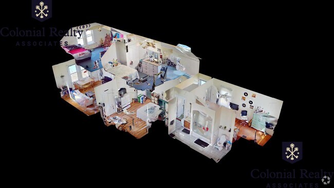
1,400 sq ft
35 Stearns Rd

Favorites
About This Home
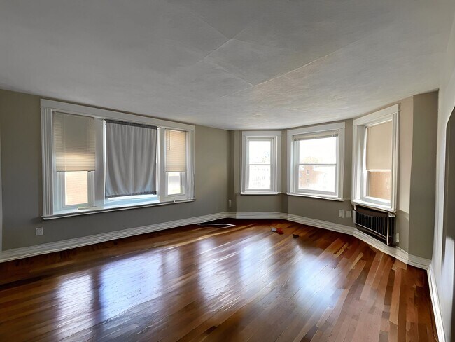
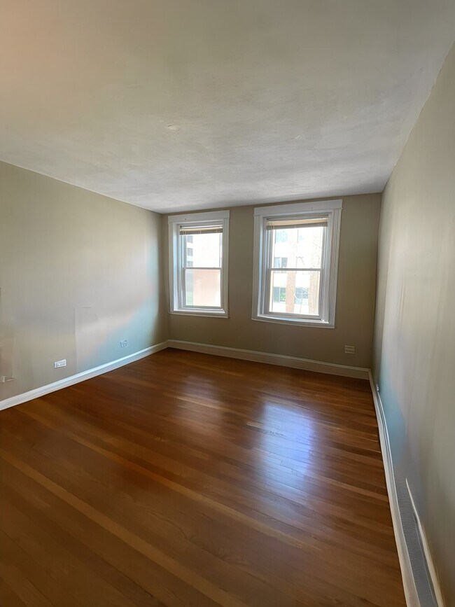
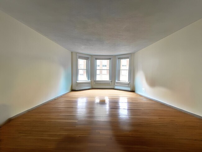
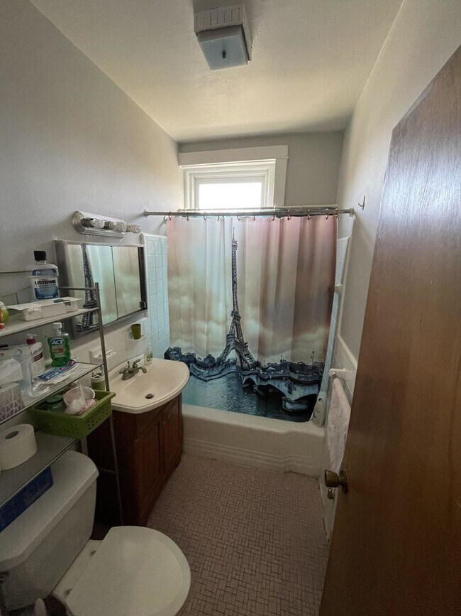
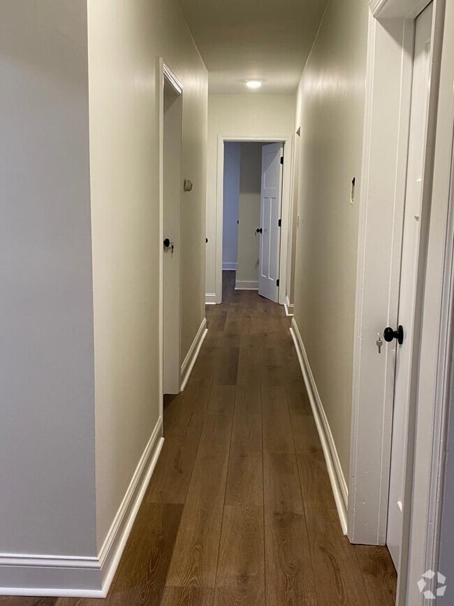
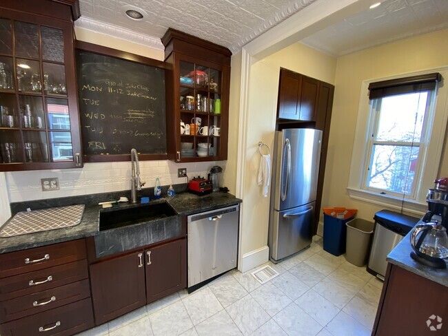
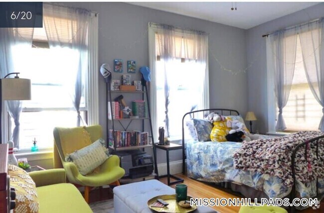
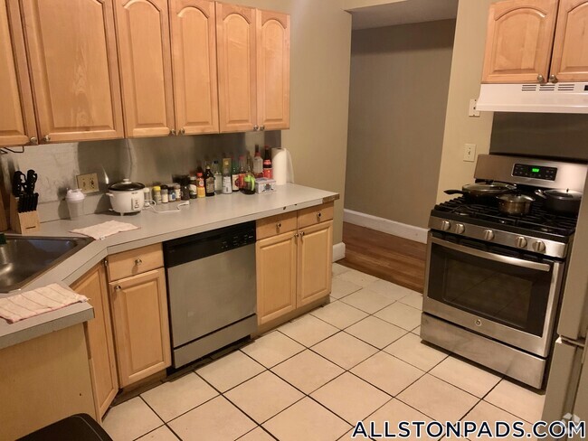
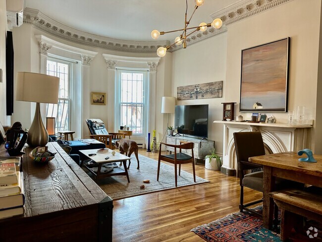
Available JULY 1 Oversized 2BR apartment in Coolidge Corner, convenient to Green Line, MBTA bus routes, Longwood Medical Area, BU, grocery stores, restaurants, cafes, parks, shops, entertainment and more! Unit features: -Hardwood floors -Heat & hot water included -Massive living room -Separate dining room area -Galley kitchen with dishwasher, disposal -Two larger sized bedrooms -Generous closet space -Cat negotiable -Laundry in building -Off street parking for rent -Graduate & medical students welcome
35 Stearns Rd is a condo located in Norfolk County and the 02446 ZIP Code.
* Price shown is base rent and may not include non-optional fees and utilities.
Price, availability, fees, and any applicable rent special are subject to change without notice.
* Square footage definitions vary. Displayed square footage is approximate.
Location
Get Directions
Located just four miles west of Downtown Boston, Coolidge Corner is a vibrant commercial hub brimming with activity and gorgeous historical buildings. Residents enjoy a large selection of shops, bookstores, restaurants, and coffee houses in Coolidge Corner as well as access to the landmark Coolidge Theatre, an Art Deco-inspired venue showcasing the best of contemporary art house and independent film.
Coolidge Corner exudes a nostalgic charm, and has attracted shoppers for more than 150 years. There’s a healthy mix of local businesses and familiar chains in Coolidge Corner, offering residents the best of both worlds. Home to its own T stop, Coolidge Corner is an ideal spot for commuters and college students alike.
Learn more about living in Coolidge Corner
Education
| Colleges & Universities | Distance | ||
|---|---|---|---|
| Colleges & Universities | Distance | ||
| Drive: | 3 min | 1.2 mi | |
| Drive: | 3 min | 1.6 mi | |
| Drive: | 4 min | 1.6 mi | |
| Drive: | 3 min | 1.6 mi |
35 Stearns Rd is within 3 minutes or 1.2 miles from MCPHS University, Boston. It is also near Simmons College and Boston University.
Transportation options available in Brookline include Coolidge Corner Station, located 0.2 mile from 35 Stearns Rd. 35 Stearns Rd is near General Edward Lawrence Logan International, located 7.4 miles or 16 minutes away.
| Transit / Subway | Distance | ||
|---|---|---|---|
| Transit / Subway | Distance | ||
|
|
Walk: | 4 min | 0.2 mi |
|
|
Walk: | 6 min | 0.3 mi |
|
|
Walk: | 7 min | 0.4 mi |
|
|
Walk: | 9 min | 0.5 mi |
|
|
Walk: | 10 min | 0.6 mi |
| Commuter Rail | Distance | ||
|---|---|---|---|
| Commuter Rail | Distance | ||
|
|
Drive: | 5 min | 2.4 mi |
|
|
Drive: | 10 min | 3.1 mi |
|
|
Drive: | 7 min | 3.4 mi |
|
|
Drive: | 9 min | 3.7 mi |
| Drive: | 12 min | 6.0 mi |
| Airports | Distance | ||
|---|---|---|---|
| Airports | Distance | ||
|
General Edward Lawrence Logan International
|
Drive: | 16 min | 7.4 mi |
Time and distance from 35 Stearns Rd.
| Shopping Centers | Distance | ||
|---|---|---|---|
| Shopping Centers | Distance | ||
| Walk: | 14 min | 0.7 mi | |
| Walk: | 21 min | 1.1 mi | |
| Drive: | 2 min | 1.2 mi |
35 Stearns Rd has 3 shopping centers within 1.2 miles, which is about a 2-minute walk. The miles and minutes will be for the farthest away property.
| Parks and Recreation | Distance | ||
|---|---|---|---|
| Parks and Recreation | Distance | ||
|
John Fitzgerald Kennedy National Historic Site
|
Walk: | 11 min | 0.6 mi |
|
Frederick Law Olmsted National Historic Site
|
Drive: | 4 min | 1.5 mi |
|
Coit Observatory
|
Drive: | 4 min | 2.1 mi |
|
Roxbury Heritage State Park
|
Drive: | 6 min | 2.2 mi |
|
Charles River Reservation
|
Drive: | 5 min | 2.5 mi |
35 Stearns Rd has 5 parks within 2.5 miles, including John Fitzgerald Kennedy National Historic Site, Coit Observatory, and Frederick Law Olmsted National Historic Site.
| Hospitals | Distance | ||
|---|---|---|---|
| Hospitals | Distance | ||
| Walk: | 15 min | 0.8 mi | |
| Walk: | 16 min | 0.9 mi | |
| Walk: | 16 min | 0.9 mi |
35 Stearns Rd has 3 hospitals within 0.9 mile, the nearest is Beth Israel Deaconess Medical Center which is 0.8 mile away and a 15 minute walk.
| Military Bases | Distance | ||
|---|---|---|---|
| Military Bases | Distance | ||
| Drive: | 25 min | 14.4 mi | |
| Drive: | 28 min | 14.6 mi |
35 Stearns Rd is 14.4 miles from US Military Reservation, and is convenient to other military bases, including Hanscom Air Force Base.
You May Also Like
Similar Rentals Nearby

What Are Walk Score®, Transit Score®, and Bike Score® Ratings?
Walk Score® measures the walkability of any address. Transit Score® measures access to public transit. Bike Score® measures the bikeability of any address.
What is a Sound Score Rating?
A Sound Score Rating aggregates noise caused by vehicle traffic, airplane traffic and local sources

35 Stearns Rd
Brookline, MA 02446