

$4,600
Total Monthly PriceBase Rent$4,600
Required Monthly FeesNone
Total Monthly Price$4,600
6 Month Lease
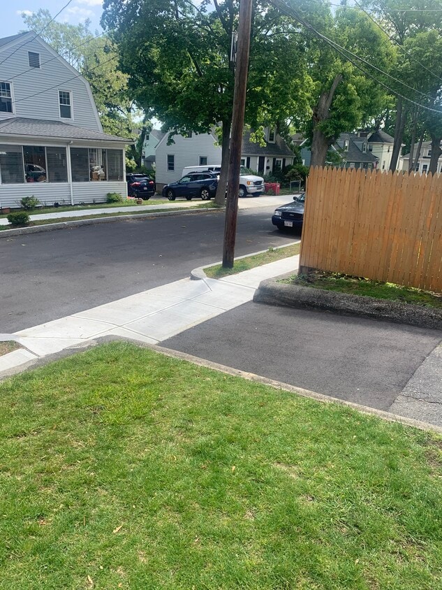
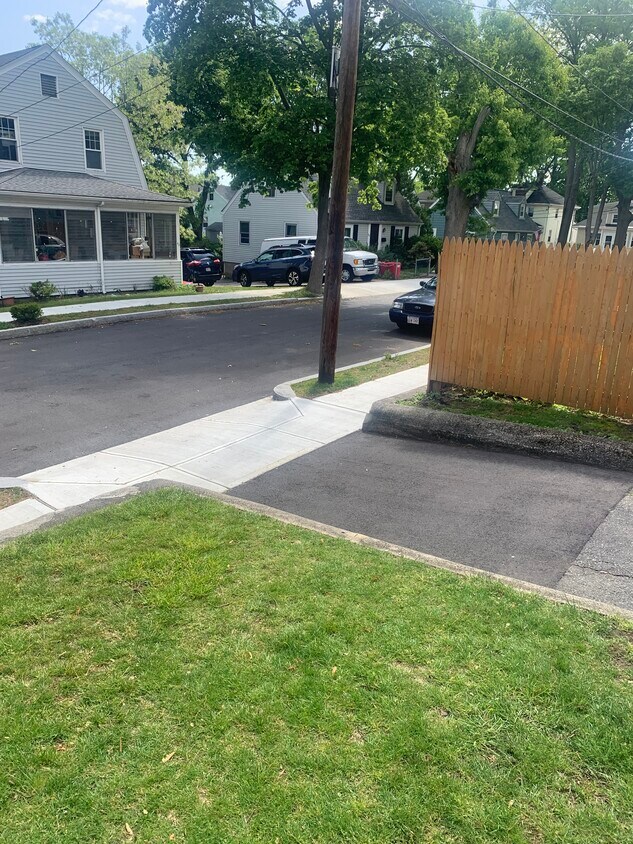
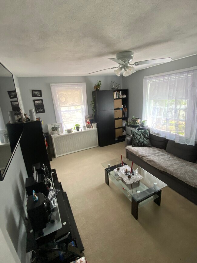
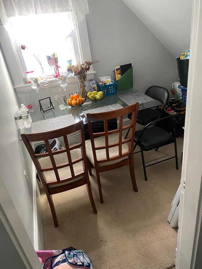
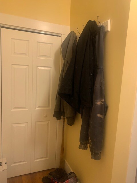
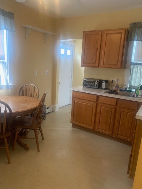
3 Beds, 1.5 Baths, 1,850 sq ft
Townhome for Rent