539 Nassau Ave
539 Nassau Ave,
Freeport, NY 11520
$6,000
4 Beds
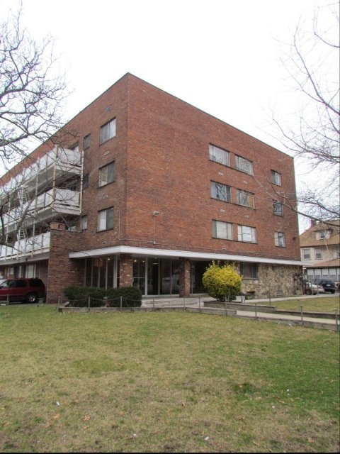
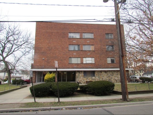
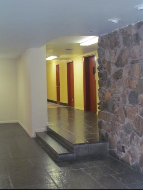
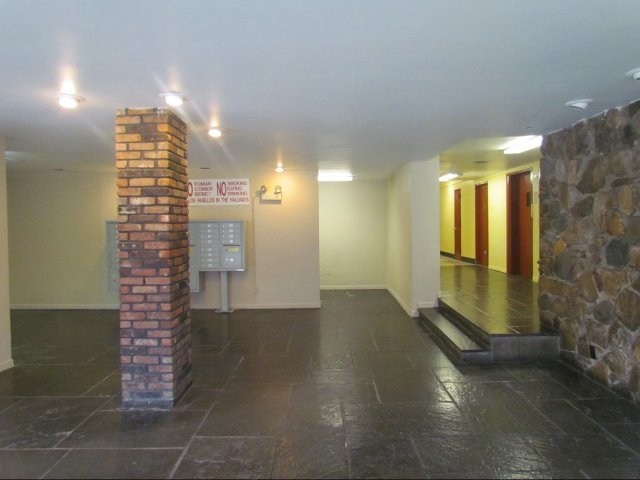

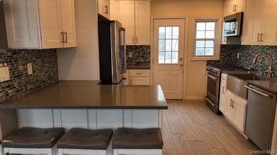
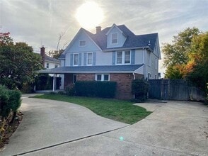
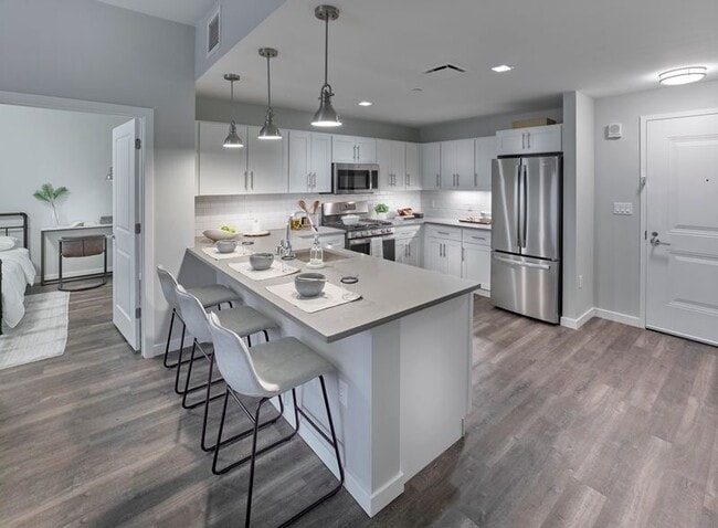
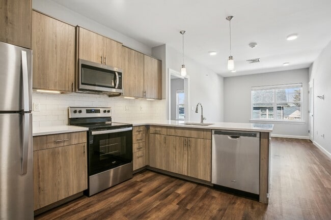
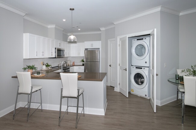
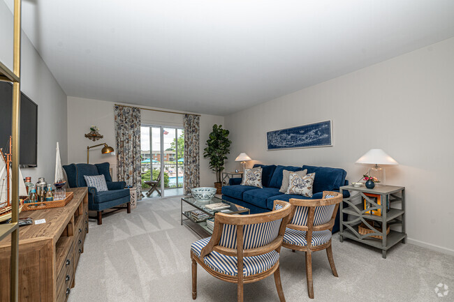
Find a new home at 35 North Long Beach Avenue. Make a visit to check out the current floorplan options. Enjoy a great selection of amenities and features at this community. These include: hardwood floors, convenient on-site parking options, and tile floors. The community staff is ready and waiting to help you find the perfect place. Contact us or drop by the leasing office to schedule a tour and find your new place at 35 North Long Beach Avenue.
35 North Long Beach Avenue is an apartment community located in Nassau County and the 11520 ZIP Code. This area is served by the Freeport Union Free School District attendance zone.
Air Conditioning
Hardwood Floors
Refrigerator
Tile Floors
Freeport is a South Shore Long Island village with deep roots in the water — it operated as a commercial oystering hub for generations before evolving into one of Nassau County's most recognizable waterfront communities. Sitting within the town of Hempstead, it is the second-largest village in New York state by population, which gives it an energy and density that most suburbs simply do not have. The Nautical Mile anchors the village's identity, drawing residents and visitors alike to its working waterfront, fish markets, and seasonal festivities including the annual Nautical Mile Festival. Cow Meadow Park and Preserve offers 150 acres of natural space and bird-watching trails for those who prefer a quieter pace. The Long Island Rail Road connects Freeport directly to Penn Station, making Manhattan genuinely accessible for daily commuters.
Learn more about living in Freeport| Colleges & Universities | Distance | ||
|---|---|---|---|
| Colleges & Universities | Distance | ||
| Drive: | 9 min | 4.7 mi | |
| Drive: | 11 min | 7.3 mi | |
| Drive: | 16 min | 7.9 mi | |
| Drive: | 13 min | 8.4 mi |


 The GreatSchools Rating helps parents compare schools within a state based on a variety of school quality indicators and provides a helpful picture of how effectively each school serves all of its students. Ratings are on a scale of 1 (below average) to 10 (above average) and can include test scores, college readiness, academic progress, advanced courses, equity, discipline and attendance data. We also advise parents to visit schools, consider other information on school performance and programs, and consider family needs as part of the school selection process.
Transportation options available in Freeport include Far Rockaway-Mott Avenue, located 10.7 miles from 35 North Long Beach Avenue. 35 North Long Beach Avenue is near John F Kennedy International, located 13.1 miles or 20 minutes away, and LaGuardia, located 20.0 miles or 30 minutes away.
| Transit / Subway | Distance | ||
|---|---|---|---|
| Transit / Subway | Distance | ||
|
|
Drive: | 17 min | 10.7 mi |
|
|
Drive: | 18 min | 11.1 mi |
|
|
Drive: | 21 min | 13.2 mi |
| Commuter Rail | Distance | ||
|---|---|---|---|
| Commuter Rail | Distance | ||
|
|
Walk: | 9 min | 0.5 mi |
|
|
Drive: | 2 min | 1.2 mi |
|
|
Drive: | 4 min | 2.6 mi |
|
|
Drive: | 5 min | 3.2 mi |
|
|
Drive: | 5 min | 3.6 mi |
| Airports | Distance | ||
|---|---|---|---|
| Airports | Distance | ||
|
John F Kennedy International
|
Drive: | 20 min | 13.1 mi |
|
LaGuardia
|
Drive: | 30 min | 20.0 mi |
Scores provided by
 What do Walkability, Transit, Drivability, and Bikeability mean?
Walkability measures the walking distance to day-to-day needs.
Transit measures access to public transportation.
Drivability measures congestion, parking availability, and access to major roads.
Bikeability measures the suitability for cycling.
How It Works
What do Walkability, Transit, Drivability, and Bikeability mean?
Walkability measures the walking distance to day-to-day needs.
Transit measures access to public transportation.
Drivability measures congestion, parking availability, and access to major roads.
Bikeability measures the suitability for cycling.
How It Works
Traffic
-Airport
-Businesses
-Scores provided by
HowLoud What is a Sound Score Rating? A Sound Score Rating aggregates noise caused by vehicle traffic, airplane traffic and local sources. How It WorksTime and distance from 35 North Long Beach Avenue.
| Shopping Centers | Distance | ||
|---|---|---|---|
| Shopping Centers | Distance | ||
| Walk: | 6 min | 0.3 mi | |
| Walk: | 15 min | 0.8 mi | |
| Walk: | 19 min | 1.0 mi |
| Parks and Recreation | Distance | ||
|---|---|---|---|
| Parks and Recreation | Distance | ||
|
Center for Science Teaching and Learning
|
Drive: | 7 min | 4.2 mi |
|
Marine Nature Study Area
|
Drive: | 11 min | 4.3 mi |
|
Hempstead Lake State Park
|
Drive: | 9 min | 5.5 mi |
|
Hofstra University Arboretum
|
Drive: | 10 min | 7.2 mi |
|
Long Island Children's Museum
|
Drive: | 13 min | 8.1 mi |
| Hospitals | Distance | ||
|---|---|---|---|
| Hospitals | Distance | ||
| Drive: | 9 min | 4.7 mi | |
| Drive: | 11 min | 7.5 mi | |
| Drive: | 16 min | 7.8 mi |
| Military Bases | Distance | ||
|---|---|---|---|
| Military Bases | Distance | ||
| Drive: | 28 min | 18.3 mi | |
| Drive: | 33 min | 21.8 mi | |
| Drive: | 41 min | 23.3 mi |
What Are Walk Score®, Transit Score®, and Bike Score® Ratings?
Walk Score® measures the walkability of any address. Transit Score® measures access to public transit. Bike Score® measures the bikeability of any address.
What is a Sound Score Rating?
A Sound Score Rating aggregates noise caused by vehicle traffic, airplane traffic and local sources.

35 N Long Beach Ave
Freeport, NY 11520