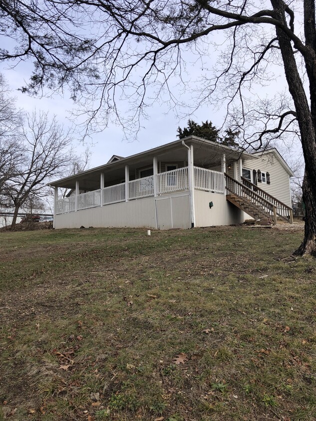
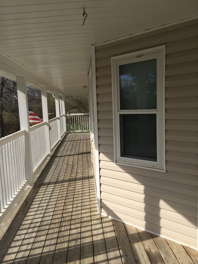
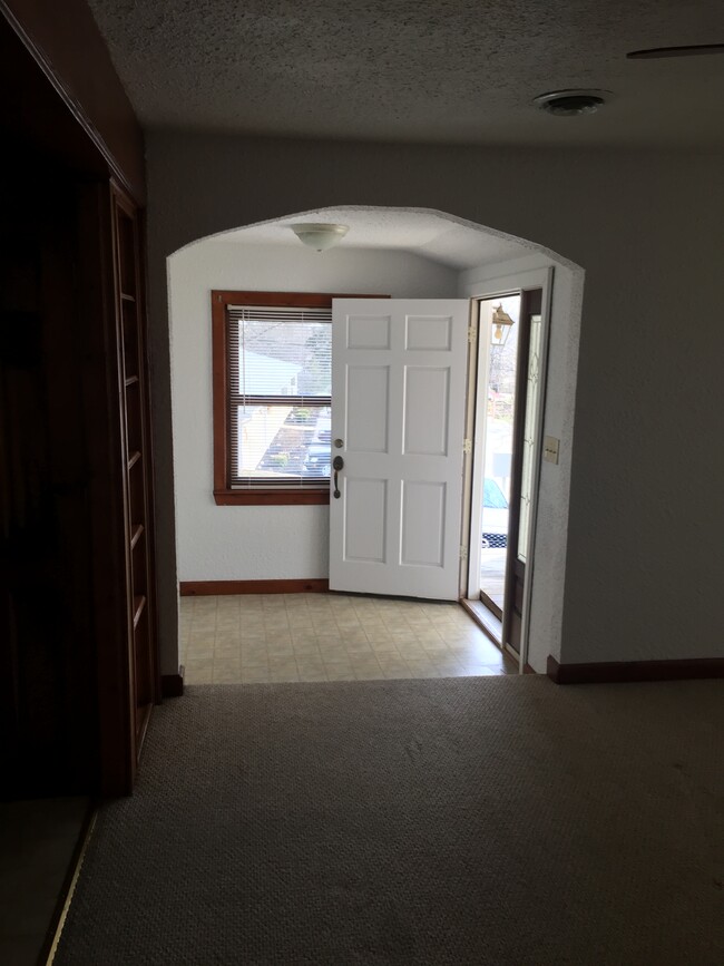
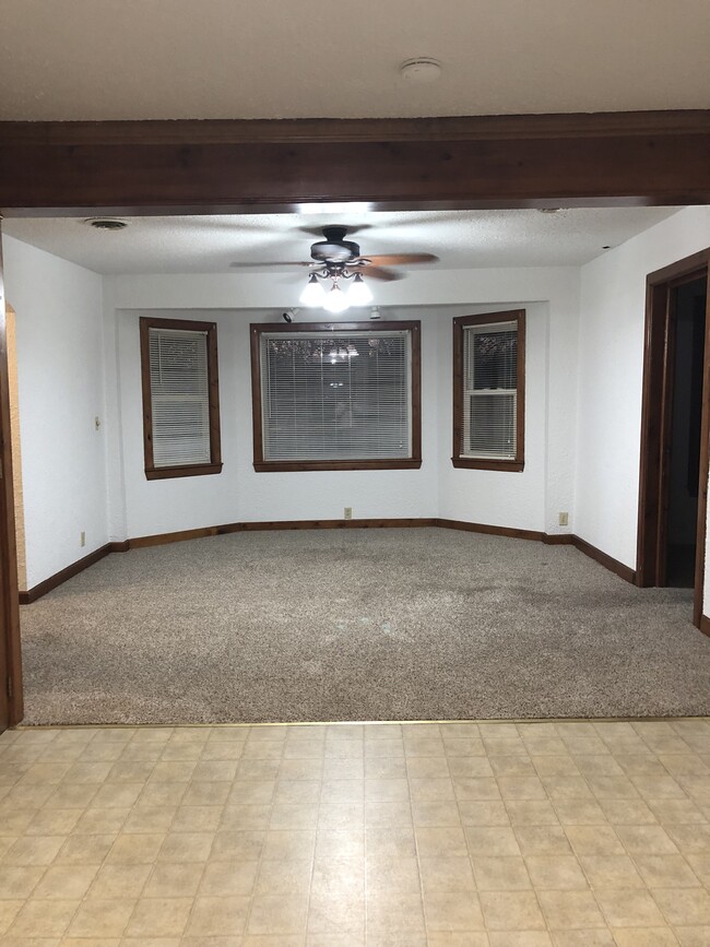
$800 Total Monthly Price

35 Lewis Street

,

Saint Clair, MO 63077

2 Weeks Ago
| Edit

Under 30 minutes

Commute Time is calculated at rush hour.
Share Listing
Favorites
35 Lewis Street
Share Listing
Favorites

Check Back Soon for Upcoming Availability

Beds Baths Average SF
2 Bedrooms 2 Bedrooms 2 Br 1 Bath 1 Bath 1 Ba 900 SF

Fees and Policies

The fees listed below are community-provided and may exclude utilities or add-ons. All payments are made directly to the property and are non-refundable unless otherwise specified.

About This Property

Beautiful House on corner lot with a wrap around porch in St. Clair. 2 bedroom, open floor plan, one bathroom house. Refridgerator, gas stove in house. Washer and Gas Dryer hook up. NO HUD. NO PETS. Please call for a viewing of the property. Requires $800 Deposit, back ground and credit check

35 Lewis Street is a house located in Franklin County and the 63077 ZIP Code.

House Features

Air Conditioning

Washer/Dryer Hookup

Refrigerator

Tub/Shower

  • Washer/Dryer Hookup
  • Air Conditioning
  • Heating
  • Ceiling Fans
  • Tub/Shower
  • Kitchen
  • Oven
  • Refrigerator
  • Carpet
  • Vinyl Flooring
  • Porch
  • Yard
  • Lawn
Location
35 Lewis Street, Saint Clair,
MO 63077
Get Directions
Amenities
  • Washer/Dryer Hookup
  • Air Conditioning
  • Heating
  • Ceiling Fans
  • Tub/Shower
  • Kitchen
  • Oven
  • Refrigerator
  • Carpet
  • Vinyl Flooring
  • Porch
  • Yard
  • Lawn
Education
Colleges & Universities Distance
Drive: 39 min 29.3 mi
Drive: 57 min 31.7 mi
Drive: 55 min 37.7 mi
Drive: 54 min 42.7 mi
35 Lewis Street is within 39 minutes or 29.3 miles from Saint Louis C.C., Wildwood. It is also near Jefferson College and Logan University.
Transportation
Commuter Rail Distance
Drive: 27 min 16.6 mi

Walkability Near 35 Lewis Street Saint Clair, MO 63077

Getting Around
Somewhat Walkable
Walkability
30 / 100
Exceptionally Drivable
Drivability
100 / 100
Somewhat Bikeable
Bikeability
30 / 100

Scores provided by

What do Walkability, Transit, Drivability, and Bikeability mean? Walkability measures the walking distance to day-to-day needs. Transit measures access to public transportation. Drivability measures congestion, parking availability, and access to major roads. Bikeability measures the suitability for cycling. How It Works
-
Soundscore
- / 100

Traffic

-

Airport

-

Businesses

-

Scores provided by

HowLoud What is a Sound Score Rating? A Sound Score Rating aggregates noise caused by vehicle traffic, airplane traffic and local sources. How It Works
Points of Interest

Time and distance from 35 Lewis Street.

Shopping Centers Distance
Drive: 3 min 1.4 mi
Drive: 13 min 7.5 mi
Drive: 13 min 8.7 mi
35 Lewis Street has 3 shopping centers within 8.7 miles, which is about a 13-minute drive. The miles and minutes will be for the farthest away property.
Parks and Recreation Distance
Caveman Zipline
Drive: 22 min 13.0 mi
35 Lewis Street has a nearby park, Caveman Zipline , located 13.0 miles or 22 minutes away.

Similar Rentals Nearby