$2,795
/ Month
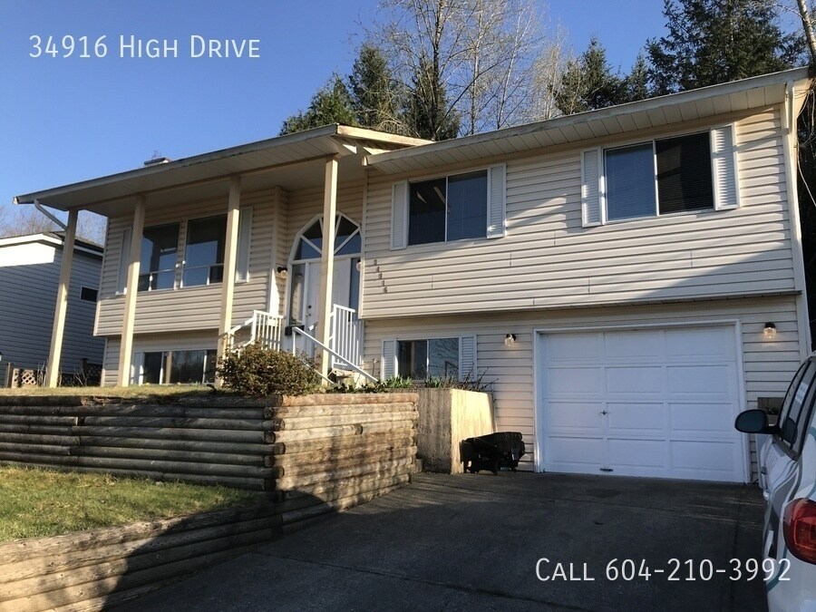
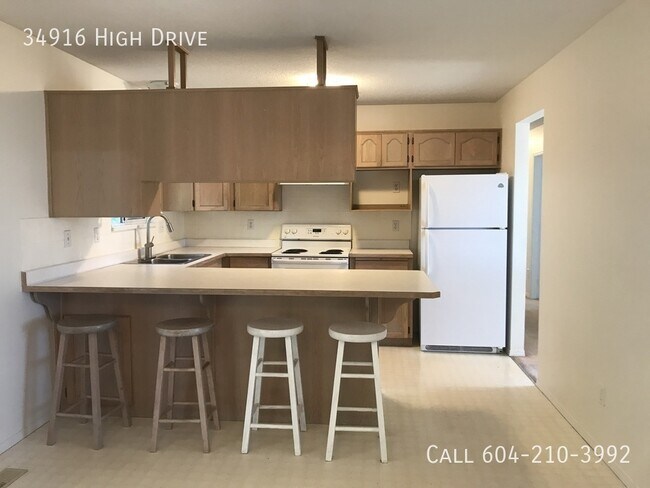
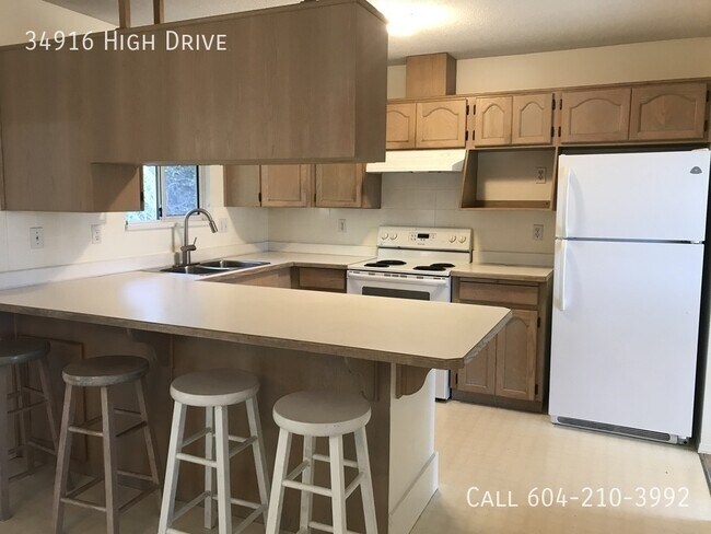
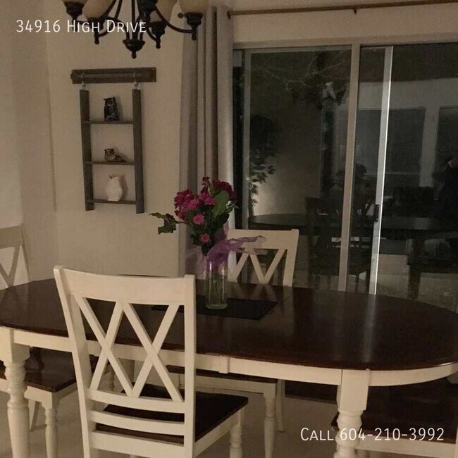
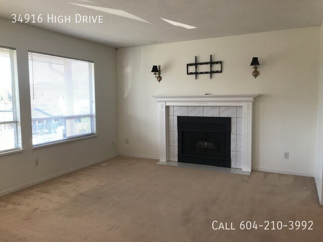
34916 High Dr
Abbotsford, BC V2S 4P6
Favorites
604-210-3992
-
Bedrooms
3
-
Bathrooms
1.5
-
Square Feet
--
-
Available
Available Now
34916 High Dr

Favorites
Contact
- Listed by Ace
- Phone Number
- Contact
Location
Get Directions
In Abbotsford, the air smells faintly of earth and blossoms—this Fraser Valley city sits where farmland meets forest, with Mount Baker looming just across the U.S. border. On clear mornings, residents sip coffee with mountain views from back patios, and weekends often start at local markets selling everything from berries to handmade soaps. It’s a city where urban life hums quietly behind fields of corn and tulips, with big-box stores and boutique shops all within a short drive.
Daily life in Abbotsford feels grounded yet connected. Neighbourhoods like Clearbrook and Historic Downtown offer walkable streets, community gardens, and quick access to transit. You’ll find quiet pockets ideal for family living, as well as busier corridors filled with cafés and essential services.
Apartment communities here range from sleek new mid-rises with outdoor terraces to low-rise rentals nestled along peaceful side streets.
Learn more about living in Abbotsford
Education
| Colleges & Universities | Distance | ||
|---|---|---|---|
| Colleges & Universities | Distance | ||
| Drive: | 9 min | 5.8 km | |
| Drive: | 30 min | 31.2 km | |
| Drive: | 31 min | 35.2 km | |
| Drive: | 34 min | 37.7 km |
34916 High Dr is within 9 minutes or 5.8 kilometers from Fraser Valley, Abbotsford. It is also near Kwantlen Poly, Langley Campus and Fraser Valley, Chilliwack.
Getting Around
 What do Walkability, Transit, Drivability, and Bikeability mean?
Walkability measures the walking distance to day-to-day needs.
Transit measures access to public transportation.
Drivability measures congestion, parking availability, and access to major roads.
Bikeability measures the suitability for cycling.
How It Works
What do Walkability, Transit, Drivability, and Bikeability mean?
Walkability measures the walking distance to day-to-day needs.
Transit measures access to public transportation.
Drivability measures congestion, parking availability, and access to major roads.
Bikeability measures the suitability for cycling.
How It Works
Somewhat Walkable
Walkability
30
/ 100
Limited Public Transit
Transit
20
/ 100
Exceptionally Drivable
Drivability
90
/ 100
Moderately Bikeable
Bikeability
60
/ 100
Scores provided by
-
Soundscore™
-
/ 100
Traffic
-Airport
-Businesses
-Scores provided by
HowLoud What is a Sound Score Rating? A Sound Score Rating aggregates noise caused by vehicle traffic, airplane traffic and local sources. How It WorksYou May Also Like
Similar Rentals Nearby
-
-
-
-
-
-
-
-
 3 Beds$2,101Total Monthly Price12 Month LeaseTotal Monthly Price NewPrices include all required monthly fees.
 -
-
 3 Beds$3,286Total Monthly Price12 Month LeaseTotal Monthly Price NewPrices include all required monthly fees.


What Are Walk Score®, Transit Score®, and Bike Score® Ratings?
Walk Score® measures the walkability of any address. Transit Score® measures access to public transit. Bike Score® measures the bikeability of any address.
What is a Sound Score Rating?
A Sound Score Rating aggregates noise caused by vehicle traffic, airplane traffic and local sources.

34916 High Dr
Abbotsford, BC V2S 4P6