$985
Total Monthly Price
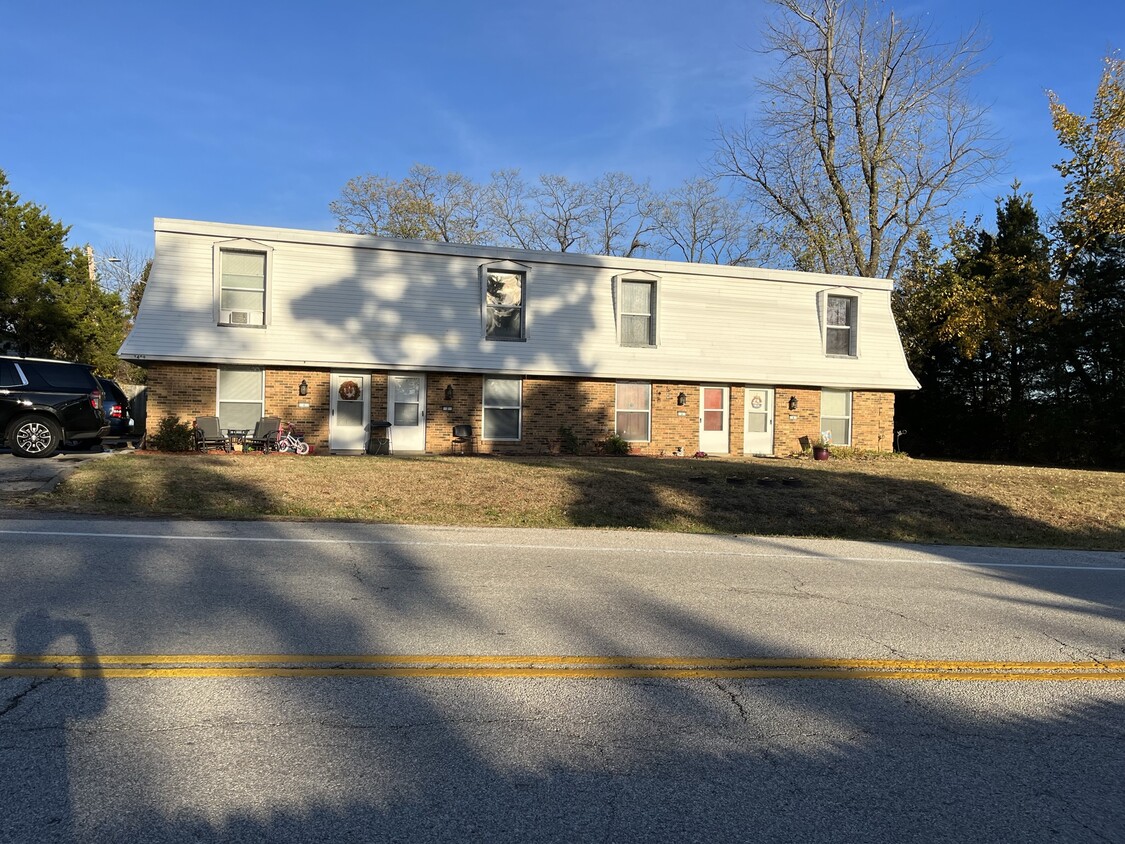
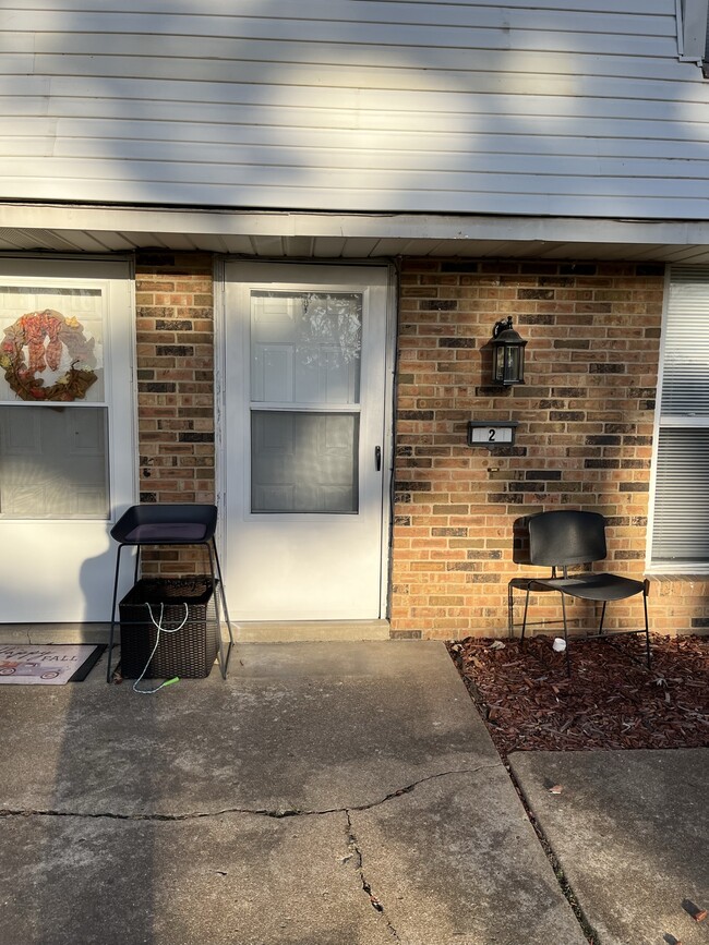
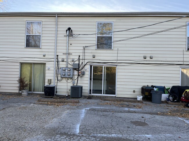
3409 High Ridge Blvd Unit 2
High Ridge, MO 63049
2 Weeks Ago
|
Edit
Favorites
3409 High Ridge Blvd Unit 2

Favorites
Check Back Soon for Upcoming Availability
| Beds | Baths | Average SF |
|---|---|---|
| 2 Bedrooms 2 Bedrooms 2 Br | 1.5 Baths 1.5 Baths 1.5 Ba | 950 SF |
Fees and Policies
The fees listed below are community-provided and may exclude utilities or add-ons. All payments are made directly to the property and are non-refundable unless otherwise specified.
- Dogs Allowed
-
Fees not specified
- Cats Allowed
-
Fees not specified
- Parking
-
Surface Lot--
Details
Utilities Included
-
Trash Removal
Property Information
-
4 units
About This Property
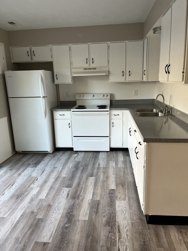
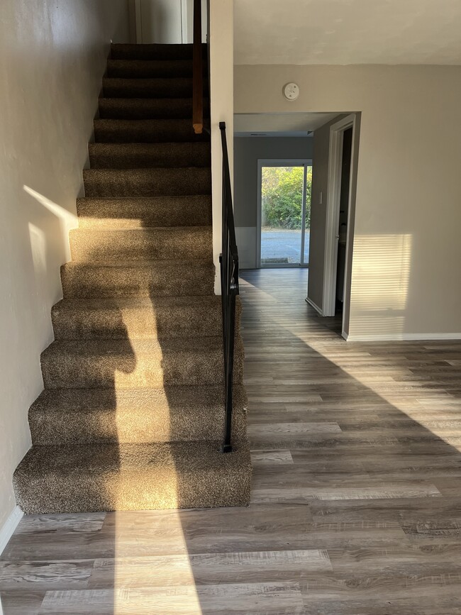
Newly remodeled apartment in quiet apartment complex located in High Ridge, Mo
3409 High Ridge Blvd is an apartment community located in Jefferson County and the 63049 ZIP Code.
Apartment Features
- Washer/Dryer Hookup
- Smoke Free
- Wheelchair Accessible
3409 High Ridge Blvd,
High Ridge,
MO
63049
Amenities
- Washer/Dryer Hookup
- Smoke Free
- Wheelchair Accessible
Expenses
Utilities Included
Trash Removal
Included
Education
| Colleges & Universities | Distance | ||
|---|---|---|---|
| Colleges & Universities | Distance | ||
| Drive: | 24 min | 14.8 mi | |
| Drive: | 30 min | 16.5 mi | |
| Drive: | 30 min | 16.8 mi | |
| Drive: | 27 min | 17.4 mi |
3409 High Ridge Blvd Unit 2 is within 24 minutes or 14.8 miles from Saint Louis C.C., Meramec. It is also near Saint Louis C.C., Wildwood and Jefferson College.
Walkability Near 3409 High Ridge Blvd High Ridge, MO 63049
Getting Around
 What do Walkability, Transit, Drivability, and Bikeability mean?
Walkability measures the walking distance to day-to-day needs.
Transit measures access to public transportation.
Drivability measures congestion, parking availability, and access to major roads.
Bikeability measures the suitability for cycling.
How It Works
What do Walkability, Transit, Drivability, and Bikeability mean?
Walkability measures the walking distance to day-to-day needs.
Transit measures access to public transportation.
Drivability measures congestion, parking availability, and access to major roads.
Bikeability measures the suitability for cycling.
How It Works
Somewhat Walkable
Walkability
20
/ 100
Minimal Public Transit
Transit
0
/ 100
Exceptionally Drivable
Drivability
100
/ 100
Not Bikeable
Bikeability
10
/ 100
Scores provided by
-
Soundscore™
-
/ 100
Traffic
-Airport
-Businesses
-Scores provided by
HowLoud What is a Sound Score Rating? A Sound Score Rating aggregates noise caused by vehicle traffic, airplane traffic and local sources. How It WorksYou May Also Like
Similar Rentals Nearby


What Are Walk Score®, Transit Score®, and Bike Score® Ratings?
Walk Score® measures the walkability of any address. Transit Score® measures access to public transit. Bike Score® measures the bikeability of any address.
What is a Sound Score Rating?
A Sound Score Rating aggregates noise caused by vehicle traffic, airplane traffic and local sources.

3409 High Ridge Blvd
High Ridge, MO 63049