$2,450
/ Month
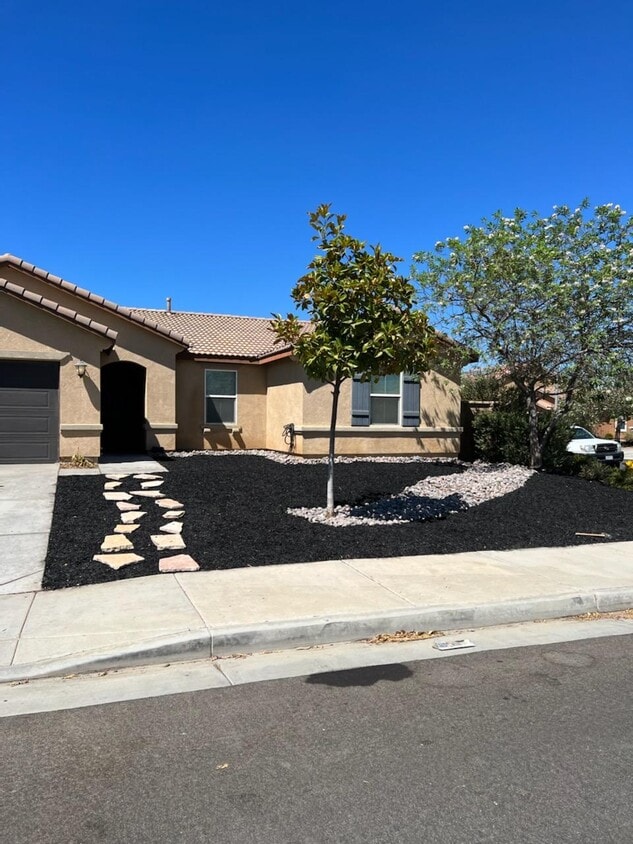
3396 Joshua Tree Ct
Perris, CA 92570
Favorites
3396 Joshua Tree Ct

Favorites
Check Back Soon for Upcoming Availability
| Beds | Baths | Average SF |
|---|---|---|
| 4 Bedrooms 4 Bedrooms 4 Br | 2 Baths 2 Baths 2 Ba | 1,750 SF |
Fees and Policies
The fees listed below are community-provided and may exclude utilities or add-ons. All payments are made directly to the property and are non-refundable unless otherwise specified.
- Dogs Allowed
-
Fees not specified
- Cats Allowed
-
Fees not specified
About This Property
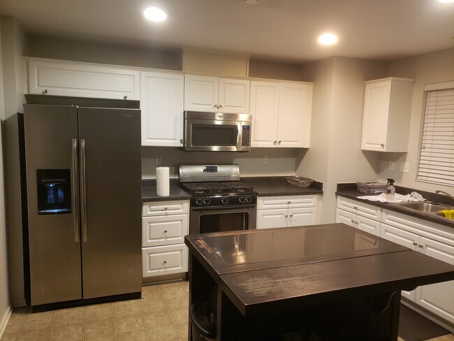
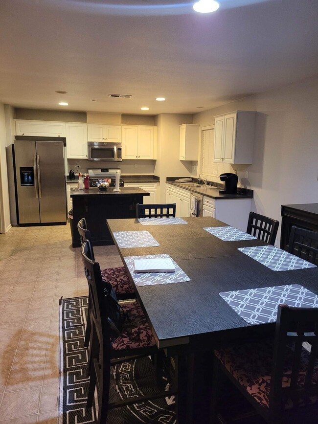
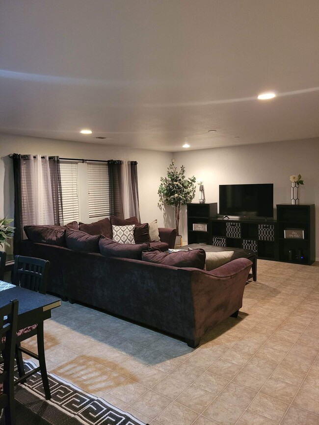
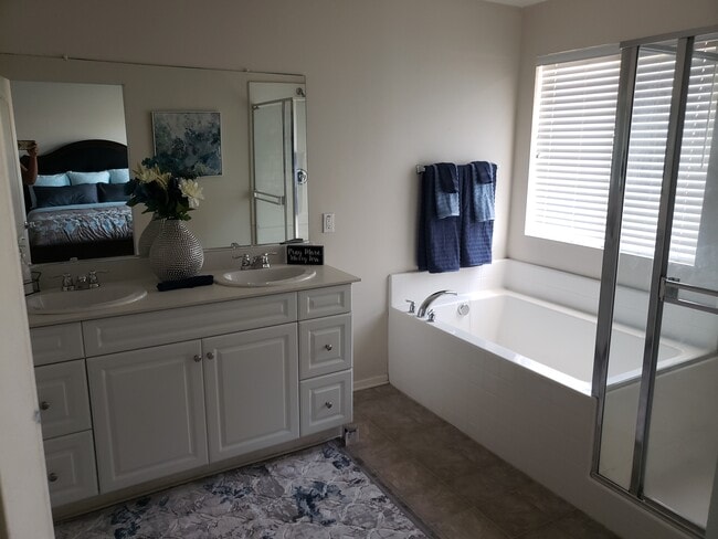
Newer home built in 2012. This home has three bedrooms, plus an office and two full baths. Open floor plan, perfect for entertaining, complete with beautiful white kitchen. This home also features plenty of storage, attached two car garage, indoor laundry and walk-in pantry.
3396 Joshua Tree Ct is a house located in Riverside County and the 92570 ZIP Code. This area is served by the Romoland Elementary School District attendance zone.
House Features
- Washer/Dryer
- Washer/Dryer Hookup
- Dishwasher
3396 Joshua Tree Ct,
Perris,
CA
92570
Perris sits in the heart of Riverside County as part of the Inland Empire, about 70 miles southeast of Los Angeles, carrying a railroad history that dates to 1885 when the California Southern Railroad first put it on the map. The city covers roughly 32 square miles with a population just over 80,000, giving it a suburban scale where open land and developed neighborhoods coexist within easy reach of one another. Key economic anchors include retail, healthcare, and logistics, while March Air Reserve Base just north of the city adds a steady employment presence. Downtown Perris offers a walkable cluster of shops and local eateries, while North Perris leans toward quieter residential streets lined with schools and parks. Lake Perris State Recreation Area draws outdoor enthusiasts year-round, and the Southern California Railway Museum keeps the city's founding legacy alive.
Learn more about living in Perris
Amenities
- Washer/Dryer
- Washer/Dryer Hookup
- Dishwasher
Education
| Colleges & Universities | Distance | ||
|---|---|---|---|
| Colleges & Universities | Distance | ||
| Drive: | 14 min | 8.0 mi | |
| Drive: | 21 min | 11.7 mi | |
| Drive: | 35 min | 21.9 mi | |
| Drive: | 36 min | 22.9 mi |
3396 Joshua Tree Ct is within 14 minutes or 8.0 miles from Mt San Jacinto Coll., Menifee. It is also near Moreno Valley College and Mt San Jacinto Coll..
Schools


Public Elementary School
Grades K-5
663 Students
Nearby
Public Elementary School
Grades K-5
938 Students
Nearby
Public Middle School
Grades 6-8
1,447 Students
Attendance Zone
Public Middle School
Grades 6-8
952 Students
Attendance Zone
Public High School
Grades 9-12
2,330 Students
Attendance Zone
Private Elementary & Middle School
Grades K-8
40 Students
Nearby
Private Elementary & Middle School
Grades PK-8
111 Students
Nearby
Private Elementary, Middle & High School
Grades K-12
Nearby
Private Elementary School
Grades K-5
Nearby
School data provided by
 The GreatSchools Rating helps parents compare schools within a state based on a variety of school quality indicators and provides a helpful picture of how effectively each school serves all of its students. Ratings are on a scale of 1 (below average) to 10 (above average) and can include test scores, college readiness, academic progress, advanced courses, equity, discipline and attendance data. We also advise parents to visit schools, consider other information on school performance and programs, and consider family needs as part of the school selection process.
View GreatSchools Rating Methodology
Data provided by GreatSchools.org © 2026. All rights reserved.
View GreatSchools Rating Methodology
Data provided by GreatSchools.org © 2026. All rights reserved.
Walkability Near 3396 Joshua Tree Ct Perris, CA 92570
Getting Around
 What do Walkability, Transit, Drivability, and Bikeability mean?
Walkability measures the walking distance to day-to-day needs.
Transit measures access to public transportation.
Drivability measures congestion, parking availability, and access to major roads.
Bikeability measures the suitability for cycling.
How It Works
What do Walkability, Transit, Drivability, and Bikeability mean?
Walkability measures the walking distance to day-to-day needs.
Transit measures access to public transportation.
Drivability measures congestion, parking availability, and access to major roads.
Bikeability measures the suitability for cycling.
How It Works
Somewhat Walkable
Walkability
20
/ 100
Minimal Public Transit
Transit
10
/ 100
Exceptionally Drivable
Drivability
100
/ 100
Somewhat Bikeable
Bikeability
30
/ 100
Scores provided by
-
Soundscore™
-
/ 100
Traffic
-Airport
-Businesses
-Scores provided by
HowLoud What is a Sound Score Rating? A Sound Score Rating aggregates noise caused by vehicle traffic, airplane traffic and local sources. How It WorksYou May Also Like
Similar Rentals Nearby


What Are Walk Score®, Transit Score®, and Bike Score® Ratings?
Walk Score® measures the walkability of any address. Transit Score® measures access to public transit. Bike Score® measures the bikeability of any address.
What is a Sound Score Rating?
A Sound Score Rating aggregates noise caused by vehicle traffic, airplane traffic and local sources.

3396 Joshua Tree Ct
Perris, CA 92570