

333 N 8th St
Chariton, IA 50049

Check Back Soon for Upcoming Availability
| Beds | Baths | Average SF |
|---|---|---|
| 3 Bedrooms 3 Bedrooms 3 Br | 1.5 Baths 1.5 Baths 1.5 Ba | 1,320 SF |
Fees and Policies
The fees listed below are community-provided and may exclude utilities or add-ons. All payments are made directly to the property and are non-refundable unless otherwise specified.
- Dogs Allowed
-
Fees not specified
- Cats Allowed
-
Fees not specified
- Parking
-
Other--
About This Property
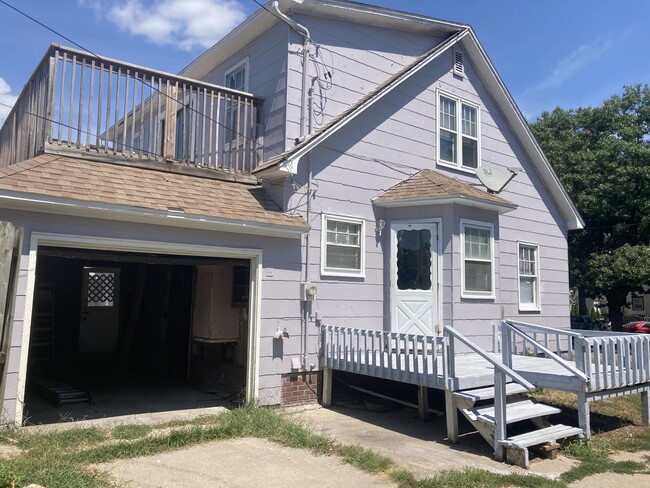
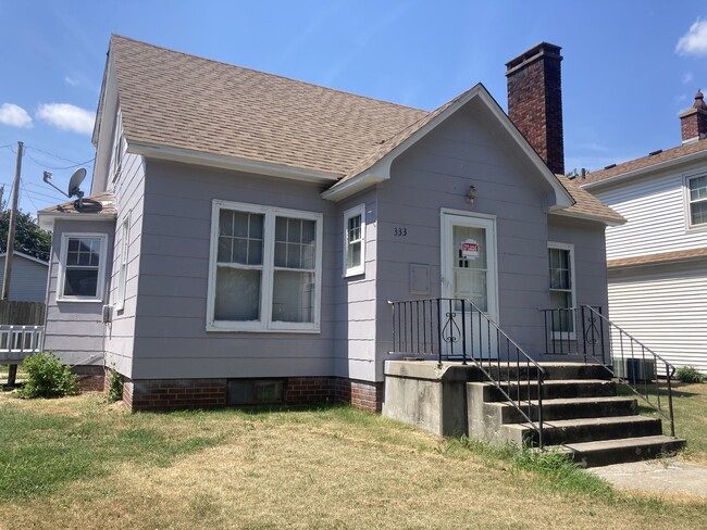
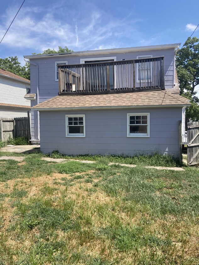
This is a cute three bedroom just off the square- close to HyVee! It has a fenced in back yard and lots of room for everyone to spread out!
333 N 8Th St is a house located in Lucas County and the 50049 ZIP Code.
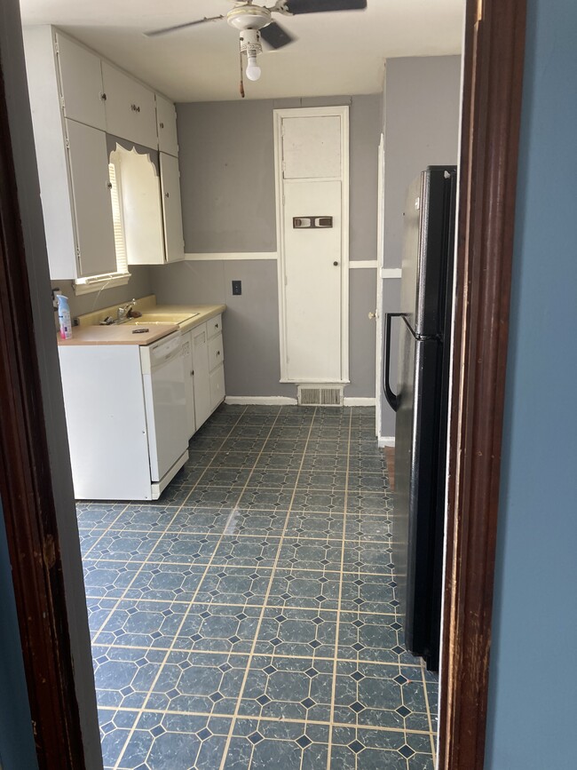
House Features
Washer/Dryer
Air Conditioning
Dishwasher
Washer/Dryer Hookup
- Washer/Dryer
- Washer/Dryer Hookup
- Air Conditioning
- Heating
- Ceiling Fans
- Smoke Free
- Storage Space
- Tub/Shower
- Dishwasher
- Refrigerator
- Balcony
- Deck
- Yard
- Washer/Dryer
- Washer/Dryer Hookup
- Air Conditioning
- Heating
- Ceiling Fans
- Smoke Free
- Storage Space
- Tub/Shower
- Dishwasher
- Refrigerator
- Balcony
- Deck
- Yard
| Colleges & Universities | Distance | ||
|---|---|---|---|
| Colleges & Universities | Distance | ||
| Drive: | 57 min | 36.8 mi | |
| Drive: | 62 min | 41.7 mi |
Walkability Near 333 N 8th St Chariton, IA 50049
Scores provided by
Traffic
-Airport
-Businesses
-Scores provided by
HowLoud What is a Sound Score Rating? A Sound Score Rating aggregates noise caused by vehicle traffic, airplane traffic and local sources. How It WorksWhat Are Walk Score®, Transit Score®, and Bike Score® Ratings?
Walk Score® measures the walkability of any address. Transit Score® measures access to public transit. Bike Score® measures the bikeability of any address.
What is a Sound Score Rating?
A Sound Score Rating aggregates noise caused by vehicle traffic, airplane traffic and local sources.
333 N 8th St
Chariton, IA 50049