
The Q Playa
5901-5921 Center Dr,
Los Angeles, CA 90045
$2,987 - $6,854
1-2 Beds

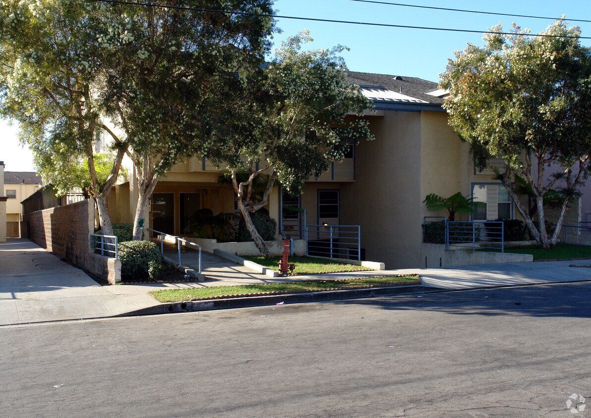

332 W Lime St is ready for you to visit. The address for this community is at 332 W. Lime St. in the 90301 area of Inglewood. Make a visit to view the available floorplans. Here at this community, the leasing team will assist you in finding the perfect new apartment. Drop by the leasing office to talk about leasing your new apartment.
332 W Lime St is an apartment community located in Los Angeles County and the 90301 ZIP Code. This area is served by the Inglewood Unified School District attendance zone.
Welcome to Inglewood, located in the heart of Los Angeles County and emerging as Southern California's sports and entertainment destination. The city features residential options throughout neighborhoods like Morningside Park and Fairview Heights, as well as apartment communities near downtown. Current rental trends show one-bedroom apartments averaging $1,704, while two-bedroom units typically rent for $2,050. The market has remained relatively stable, with only minor fluctuations in pricing over the past year.
Inglewood's landscape includes SoFi Stadium, home to the NFL's Los Angeles Rams and Chargers, and the historic Kia Forum, a premier entertainment venue. The Intuit Dome, home court for the NBA's Los Angeles Clippers, further enhances the area's sports presence. Edward Vincent Sr. Park, featuring the historic Centinela Springs, provides outdoor recreation space for residents.
Learn more about living in Inglewood| Colleges & Universities | Distance | ||
|---|---|---|---|
| Colleges & Universities | Distance | ||
| Drive: | 7 min | 3.9 mi | |
| Drive: | 9 min | 4.6 mi | |
| Drive: | 10 min | 4.8 mi | |
| Drive: | 11 min | 5.2 mi |


Transportation options available in Inglewood include Westchester / Veterans Station, located 1.2 miles from 332 W Lime St. 332 W Lime St is near Los Angeles International, located 4.0 miles or 8 minutes away, and Long Beach (Daugherty Field), located 19.3 miles or 26 minutes away.
| Transit / Subway | Distance | ||
|---|---|---|---|
| Transit / Subway | Distance | ||
| Drive: | 2 min | 1.2 mi | |
| Drive: | 3 min | 1.3 mi | |
| Drive: | 4 min | 1.9 mi | |
| Drive: | 5 min | 2.2 mi | |
|
|
Drive: | 7 min | 4.0 mi |
| Commuter Rail | Distance | ||
|---|---|---|---|
| Commuter Rail | Distance | ||
|
|
Drive: | 20 min | 13.0 mi |
|
|
Drive: | 22 min | 13.2 mi |
|
|
Drive: | 27 min | 15.2 mi |
| Drive: | 24 min | 17.0 mi | |
|
|
Drive: | 27 min | 17.6 mi |
| Airports | Distance | ||
|---|---|---|---|
| Airports | Distance | ||
|
Los Angeles International
|
Drive: | 8 min | 4.0 mi |
|
Long Beach (Daugherty Field)
|
Drive: | 26 min | 19.3 mi |
Scores provided by
Traffic
-Airport
-Businesses
-Scores provided by
HowLoud What is a Sound Score Rating? A Sound Score Rating aggregates noise caused by vehicle traffic, airplane traffic and local sources. How It WorksTime and distance from 332 W Lime St.
| Shopping Centers | Distance | ||
|---|---|---|---|
| Shopping Centers | Distance | ||
| Walk: | 6 min | 0.3 mi | |
| Walk: | 6 min | 0.4 mi | |
| Walk: | 8 min | 0.4 mi |
| Parks and Recreation | Distance | ||
|---|---|---|---|
| Parks and Recreation | Distance | ||
|
Ballona Creek Trail - Ballona Wetlands Ecological Reserve Access
|
Drive: | 7 min | 4.4 mi |
|
Kenneth Hahn State Recreation Area
|
Drive: | 13 min | 5.6 mi |
|
Dockweiler State Beach
|
Drive: | 13 min | 7.1 mi |
|
Natural History Museum of LA County
|
Drive: | 14 min | 7.6 mi |
|
California Science Center
|
Drive: | 15 min | 7.9 mi |
| Hospitals | Distance | ||
|---|---|---|---|
| Hospitals | Distance | ||
| Drive: | 3 min | 1.3 mi | |
| Drive: | 9 min | 6.1 mi | |
| Drive: | 11 min | 6.4 mi |
| Military Bases | Distance | ||
|---|---|---|---|
| Military Bases | Distance | ||
| Drive: | 8 min | 4.4 mi | |
| Drive: | 30 min | 21.2 mi | |
| Drive: | 33 min | 23.4 mi |
Pets Allowed In Unit Washer & Dryer Maintenance on site Heat Controlled Access Elevator
What Are Walk Score®, Transit Score®, and Bike Score® Ratings?
Walk Score® measures the walkability of any address. Transit Score® measures access to public transit. Bike Score® measures the bikeability of any address.
What is a Sound Score Rating?
A Sound Score Rating aggregates noise caused by vehicle traffic, airplane traffic and local sources.
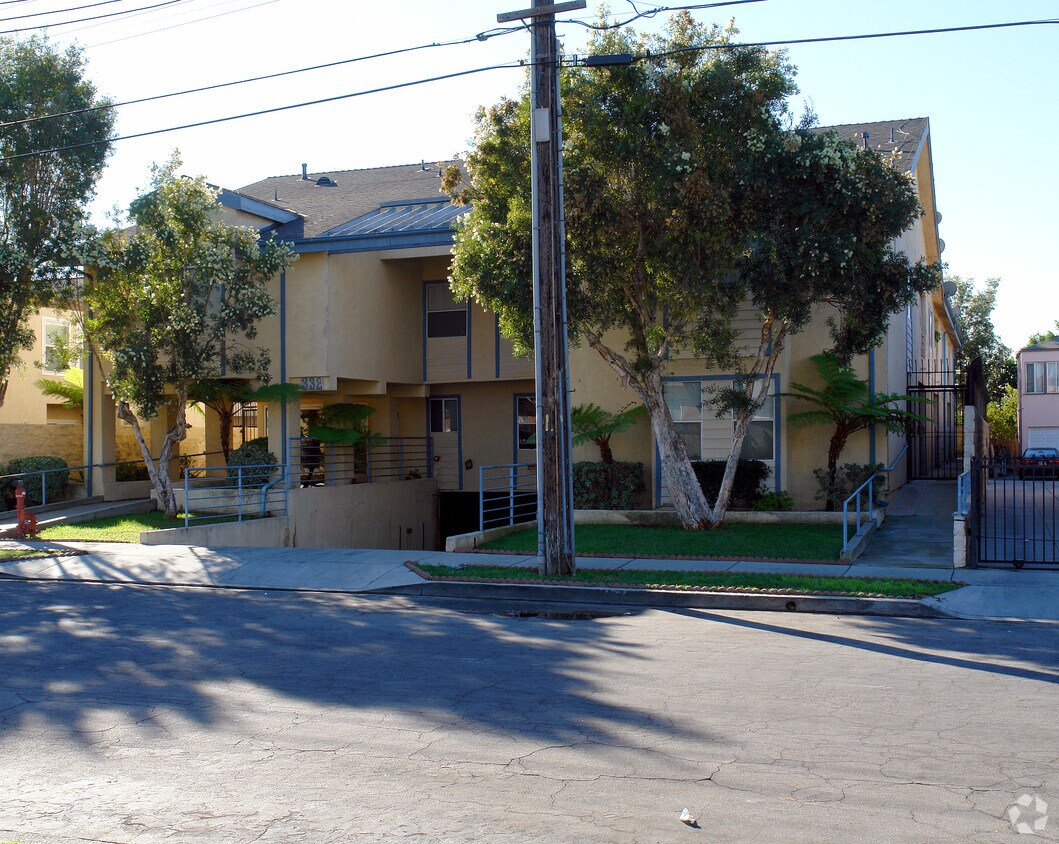
332 W Lime St
Inglewood, CA 90301


")


