$1,115 / Month
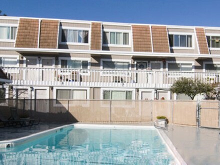
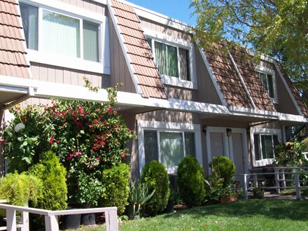
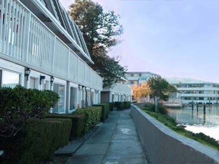
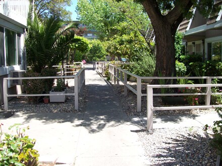
330 Canal St Unit A24
San Rafael, CA 94901
2 Weeks Ago
Favorites
330 Canal St Unit A24

Favorites
Check Back Soon for Upcoming Availability
| Beds | Baths | Average SF |
|---|---|---|
| 1 Bedroom 1 Bedroom 1 Br | 1 Bath 1 Bath 1 Ba | 820 SF |
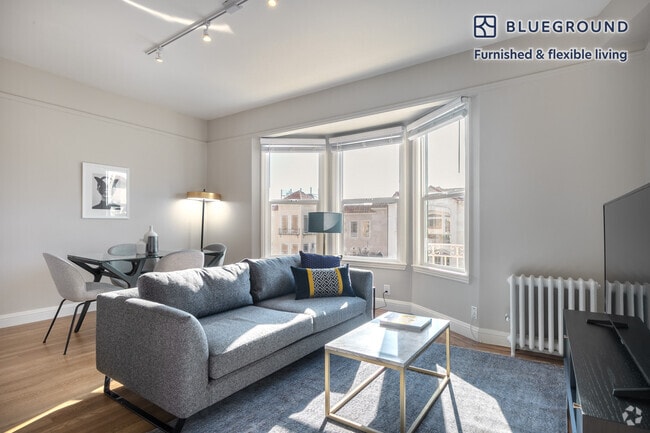
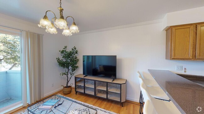
About This Property
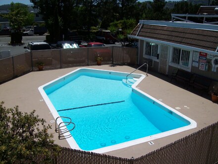
Near Highway 101 and the Richmond Bridge. Second Floor Great Landscaping . <br/> <br/>
330 Canal St is a condo located in Marin County and the 94901 ZIP Code. This area is served by the San Rafael City Elementary attendance zone.
Location
Get Directions
Canal is nestled along the San Rafael Creek and the San Rafael Bay. This scenic Bay Area neighborhood has a variety of options for rent including bayfront houses and mid-rise apartments. Canal is a family-friendly neighborhood with good schools, an active neighborhood association, and access to an abundance of amenities. The neighborhood has several waterfront parks like Pickleweed Park for residents to enjoy. Along with several big-box stores and retailers, Canal has multiple international grocery stores and restaurants serving everything from pho to gelato. Canal is located about two miles east of Downtown San Rafael and the area is also about 30 minutes from San Francisco and Oakland thanks to Interstate 580.
Learn more about living in CanalBelow are rent ranges for similar nearby apartments
Education
| Colleges & Universities | Distance | ||
|---|---|---|---|
| Colleges & Universities | Distance | ||
| Drive: | 6 min | 2.0 mi | |
| Drive: | 23 min | 13.4 mi | |
| Drive: | 27 min | 16.2 mi | |
| Drive: | 31 min | 17.8 mi |
330 Canal St Unit A24 is within 6 minutes or 2.0 miles from Dominican Univ. of Ca. It is also near Contra Costa College and UC San Francisco, Mount Zion.
Schools


Public Elementary School
Grades K-5
99 Students
Nearby
Public Elementary School
Grades K-5
494 Students
Attendance Zone
Public Middle School
Grades 6-8
1,063 Students
Attendance Zone
Public High School
Grades 9-12
1,189 Students
Attendance Zone
Public High School
Grades 9-12
1,265 Students
Attendance Zone
Private Elementary & Middle School
Grades PK-8
283 Students
Nearby
Private Elementary, Middle & High School
Grades K-12
52 Students
Nearby
School data provided by
 The GreatSchools Rating helps parents compare schools within a state based on a variety of school quality indicators and provides a helpful picture of how effectively each school serves all of its students. Ratings are on a scale of 1 (below average) to 10 (above average) and can include test scores, college readiness, academic progress, advanced courses, equity, discipline and attendance data. We also advise parents to visit schools, consider other information on school performance and programs, and consider family needs as part of the school selection process.
View GreatSchools Rating Methodology
View GreatSchools Rating Methodology
Transportation options available in San Rafael include Richmond, located 10.6 miles from 330 Canal St Unit A24. 330 Canal St Unit A24 is near Metro Oakland International, located 30.4 miles or 42 minutes away, and San Francisco International, located 31.1 miles or 51 minutes away.
| Transit / Subway | Distance | ||
|---|---|---|---|
| Transit / Subway | Distance | ||
|
|
Drive: | 17 min | 10.6 mi |
| Commuter Rail | Distance | ||
|---|---|---|---|
| Commuter Rail | Distance | ||
| Drive: | 4 min | 1.4 mi | |
| Drive: | 8 min | 3.1 mi | |
| Drive: | 9 min | 5.4 mi | |
| Drive: | 14 min | 8.8 mi | |
| Drive: | 17 min | 10.6 mi |
| Airports | Distance | ||
|---|---|---|---|
| Airports | Distance | ||
|
Metro Oakland International
|
Drive: | 42 min | 30.4 mi |
|
San Francisco International
|
Drive: | 51 min | 31.1 mi |
Time and distance from 330 Canal St Unit A24.
| Shopping Centers | Distance | ||
|---|---|---|---|
| Shopping Centers | Distance | ||
| Walk: | 5 min | 0.3 mi | |
| Walk: | 14 min | 0.8 mi | |
| Walk: | 18 min | 0.9 mi |
330 Canal St Unit A24 has 3 shopping centers within 0.9 mile, which is about a 18-minute walk. The miles and minutes will be for the farthest away property.
| Parks and Recreation | Distance | ||
|---|---|---|---|
| Parks and Recreation | Distance | ||
|
WildCare
|
Drive: | 7 min | 2.2 mi |
|
Hal Brown Park at Creekside
|
Drive: | 10 min | 4.0 mi |
|
McNear's Beach County Park
|
Drive: | 15 min | 5.8 mi |
|
Baltimore Canyon Open Space
|
Drive: | 16 min | 6.0 mi |
|
China Camp State Park
|
Drive: | 16 min | 7.3 mi |
330 Canal St Unit A24 has 5 parks within 7.3 miles, including WildCare, Hal Brown Park at Creekside, and Baltimore Canyon Open Space.
| Hospitals | Distance | ||
|---|---|---|---|
| Hospitals | Distance | ||
| Drive: | 10 min | 4.3 mi | |
| Drive: | 11 min | 5.8 mi | |
| Drive: | 17 min | 11.7 mi |
330 Canal St Unit A24 has 3 hospitals within 11.7 miles, the nearest is MarinHealth Medical Center which is 4.3 miles away and a 10 minute drive.
| Military Bases | Distance | ||
|---|---|---|---|
| Military Bases | Distance | ||
| Drive: | 23 min | 13.6 mi | |
| Drive: | 29 min | 16.0 mi | |
| Drive: | 36 min | 24.0 mi |
330 Canal St Unit A24 has 3 military bases within 24.0 miles, the nearest is Armory West Contra Costa which is 13.6 miles away and a 23 minute drive.
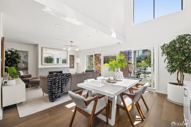
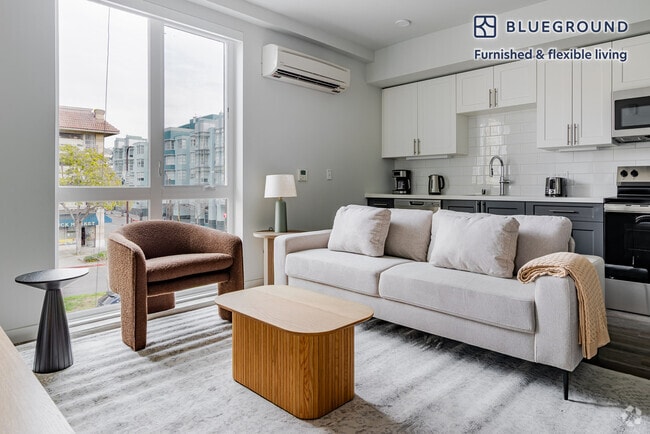
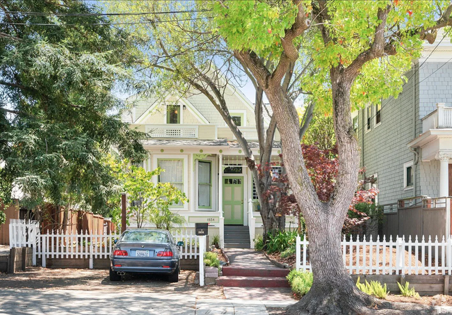
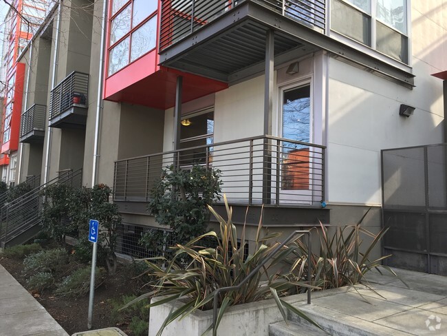
You May Also Like
Similar Rentals Nearby
What Are Walk Score®, Transit Score®, and Bike Score® Ratings?
Walk Score® measures the walkability of any address. Transit Score® measures access to public transit. Bike Score® measures the bikeability of any address.
What is a Sound Score Rating?
A Sound Score Rating aggregates noise caused by vehicle traffic, airplane traffic and local sources

330 Canal St
San Rafael, CA 94901