-
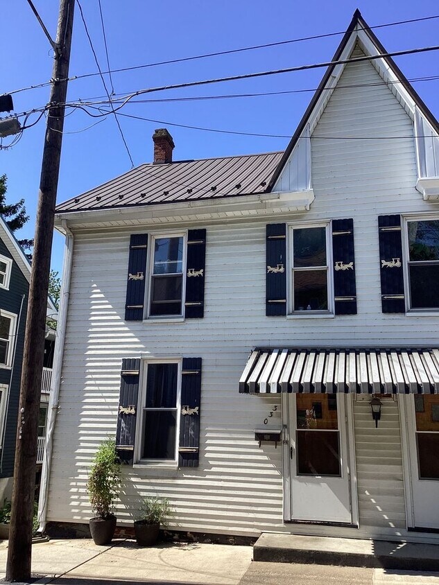
330-332 W. Second Street
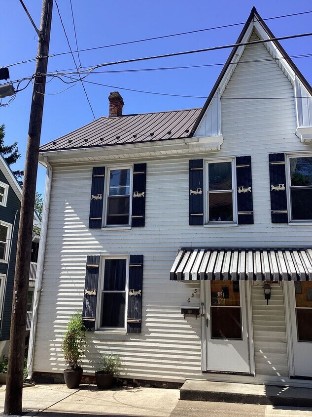
-
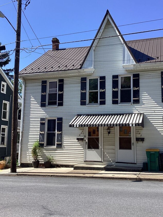
-
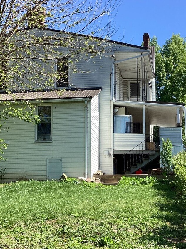
$1,150
/ Month
330-332 W 2nd St Unit 330
Waynesboro, PA 17268
Favorites
717-765-8011
-
Bedrooms
3
-
Bathrooms
1
-
Square Feet
--
-
Available
Available Jun 19
330-332 W 2nd St Unit 330

Favorites
Contact
- Listed by Antietam Realty | Antietam Realty
- Phone Number
- Contact
Location
Get Directions
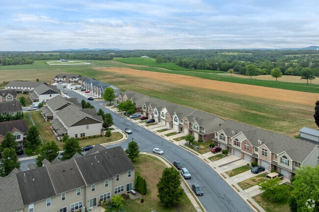
Sitting just two miles north of the Mason-Dixon Line, Waynesboro is a Franklin County borough where history shows up on every block of its well-preserved Main Street. The downtown district anchors daily life here, drawing residents in with locally owned shops, cafes, and a calendar packed with community events. The annual Jazz Festival and Oktoberfest give the town a lively rhythm, while National Alpaca Farm Days offer something you won't find in most Pennsylvania communities.
Waynesboro covers only four square miles, so getting around on foot or by bike is genuinely practical. The surrounding countryside connects to Mont Alto State Park and the Chesapeake and Ohio Canal National Historical Park, making outdoor recreation an easy weekend habit. Hagerstown, Maryland, sits about 20 minutes away, and Chambersburg is a short drive north for broader shopping and dining options.
The housing mix reflects the borough's age and character.
Learn more about living in Waynesboro
Education
| Colleges & Universities | Distance | ||
|---|---|---|---|
| Colleges & Universities | Distance | ||
| Drive: | 21 min | 11.4 mi | |
| Drive: | 33 min | 19.2 mi | |
| Drive: | 43 min | 23.4 mi | |
| Drive: | 45 min | 23.7 mi |
330-332 W 2nd St Unit 330 is within 21 minutes or 11.4 miles from Hagerstown Community College. It is also near Mount Saint Mary's University and Gettysburg College.
Getting Around
 What do Walkability, Transit, Drivability, and Bikeability mean?
Walkability measures the walking distance to day-to-day needs.
Transit measures access to public transportation.
Drivability measures congestion, parking availability, and access to major roads.
Bikeability measures the suitability for cycling.
How It Works
What do Walkability, Transit, Drivability, and Bikeability mean?
Walkability measures the walking distance to day-to-day needs.
Transit measures access to public transportation.
Drivability measures congestion, parking availability, and access to major roads.
Bikeability measures the suitability for cycling.
How It Works
Fairly Walkable
Walkability
40
/ 100
Exceptionally Drivable
Drivability
100
/ 100
Somewhat Bikeable
Bikeability
30
/ 100
Scores provided by
What do Walkability, Transit, Drivability, and Bikeability mean?
Walkability measures the walking distance to day-to-day needs.
Transit measures access to public transportation.
Drivability measures congestion, parking availability, and access to major roads.
Bikeability measures the suitability for cycling.
How It Works
-
Soundscore™
-
/ 100
Traffic
-Airport
-Businesses
-Scores provided by
HowLoud What is a Sound Score Rating? A Sound Score Rating aggregates noise caused by vehicle traffic, airplane traffic and local sources. How It WorksYou May Also Like
Similar Rentals Nearby
-
-
-
-
-
1 / 43
-
-
-
-
-
What Are Walk Score®, Transit Score®, and Bike Score® Ratings?
Walk Score® measures the walkability of any address. Transit Score® measures access to public transit. Bike Score® measures the bikeability of any address.
What is a Sound Score Rating?
A Sound Score Rating aggregates noise caused by vehicle traffic, airplane traffic and local sources.
330-332 W 2nd St
Waynesboro, PA 17268