


$7,950
Total Monthly Price
Total Monthly Price
New
Prices include all required monthly fees.
12 Month Lease
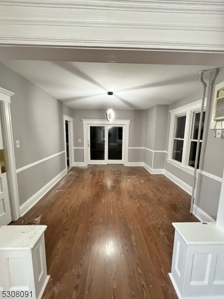
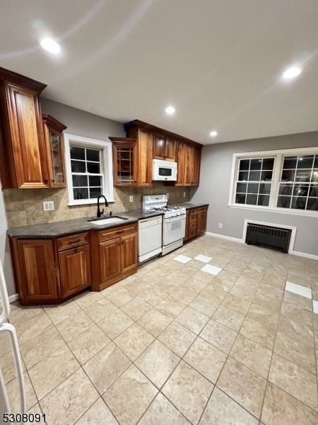
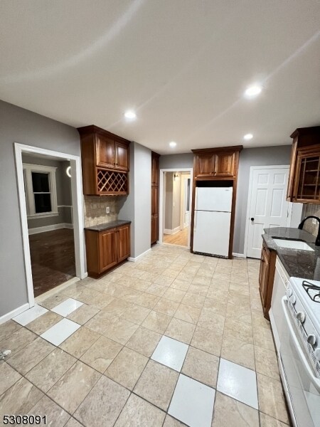
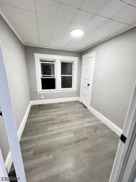
House for Rent
4 Beds, 4 Baths, 2,850 sq ft


