$1,500
/ Month
33 High St
Woodbury, NJ 08096
2 Weeks Ago
Favorites
33 High St

Favorites
Check Back Soon for Upcoming Availability
| Beds | Baths | Average SF |
|---|---|---|
| 2 Bedrooms 2 Bedrooms 2 Br | 1 Bath 1 Bath 1 Ba | 2,180 SF |
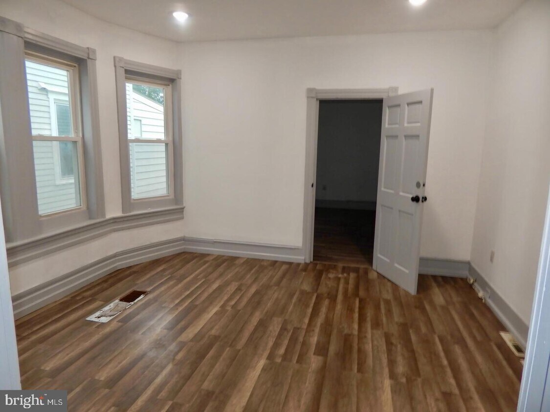
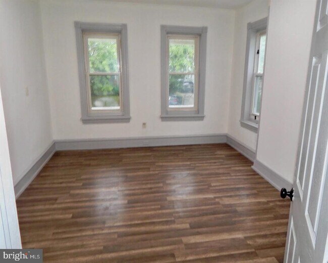
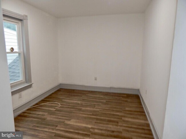
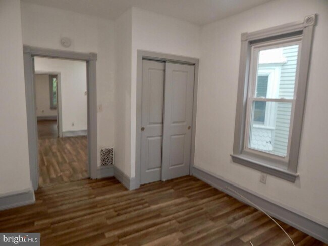
About This Property
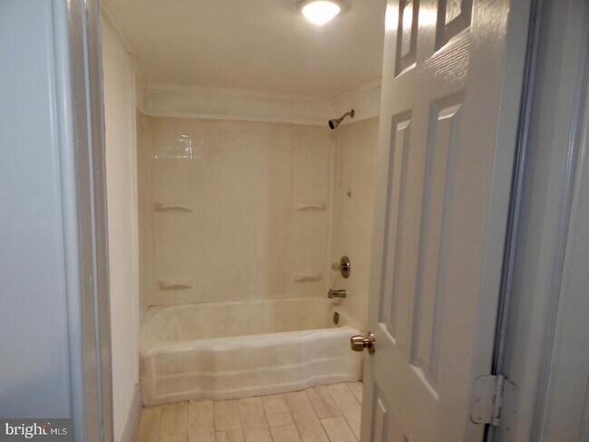
Welcome to Woodbury! This first floor unit is within walking distance to downtown Woodbury Restaurants and shops! The home was renovated in 2020 featuring 2 bedrooms, 1 bath, updated eat in kitchen, plenty of storage in the unfinished basement and a shared backyard. The home is available immediately for rent. Tenants pay all utilities, lawn care and snow removal. Section 8 welcome. Schedule your private tour today!
33 High St is an apartment community located in Gloucester County and the 08096 ZIP Code.
Features
- Basement
Location
Get Directions
The designated county seat of Gloucester County, Woodbury packs plenty of history, community events, and organizations in just two square miles. Situated about 13 miles from Center City Philadelphia, Woodbury boasts small-town living on the cusp of a major American city.
The commercial corridor in Woodbury is stretched along Broad Street, with quaint shops, restaurants, chains, and historic buildings. Some of Woodbury’s local mainstays include Eight and Sand Beer Company, Colonial Diner, Hollywood Café and Sports Bar, Tiki Tiki Board Games, and Frankenstein Comics. Several parks and waterways around Woodbury offer many options for outdoor recreation as well. Woodbury residents enjoy simple commutes and travels with access to the New Jersey Turnpike and I-295 as well as Philadelphia International Airport.
Learn more about living in Woodbury
Amenities
- Basement
Education
| Colleges & Universities | Distance | ||
|---|---|---|---|
| Colleges & Universities | Distance | ||
| Drive: | 11 min | 5.2 mi | |
| Drive: | 19 min | 8.9 mi | |
| Drive: | 16 min | 9.7 mi | |
| Drive: | 22 min | 12.2 mi |
33 High St is within 11 minutes or 5.2 miles from Gloucester County College. It is also near Camden Co. Coll., Blackwood and Camden Co. Coll., Camden City.
Transportation options available in Woodbury include Oregon, located 9.7 miles from 33 High St. 33 High St is near Philadelphia International, located 16.0 miles or 30 minutes away.
| Transit / Subway | Distance | ||
|---|---|---|---|
| Transit / Subway | Distance | ||
|
|
Drive: | 17 min | 9.7 mi |
|
|
Drive: | 17 min | 9.9 mi |
|
|
Drive: | 18 min | 10.1 mi |
|
|
Drive: | 26 min | 14.4 mi |
|
|
Drive: | 26 min | 14.6 mi |
| Commuter Rail | Distance | ||
|---|---|---|---|
| Commuter Rail | Distance | ||
|
|
Drive: | 25 min | 14.1 mi |
|
|
Drive: | 30 min | 15.2 mi |
|
|
Drive: | 31 min | 15.6 mi |
|
|
Drive: | 29 min | 15.7 mi |
|
|
Drive: | 30 min | 16.1 mi |
| Airports | Distance | ||
|---|---|---|---|
| Airports | Distance | ||
|
Philadelphia International
|
Drive: | 30 min | 16.0 mi |
Time and distance from 33 High St.
| Shopping Centers | Distance | ||
|---|---|---|---|
| Shopping Centers | Distance | ||
| Walk: | 10 min | 0.5 mi | |
| Drive: | 3 min | 1.2 mi | |
| Drive: | 5 min | 2.0 mi |
33 High St has 3 shopping centers within 2.0 miles, which is about a 5-minute walk. The miles and minutes will be for the farthest away property.
| Parks and Recreation | Distance | ||
|---|---|---|---|
| Parks and Recreation | Distance | ||
|
Franklin D. Roosevelt Park
|
Drive: | 21 min | 11.0 mi |
|
Gloria Dei Church National Historic Site
|
Drive: | 20 min | 11.1 mi |
|
Thaddeus Kosciuszko National Memorial
|
Drive: | 22 min | 12.2 mi |
|
Bartram's Garden
|
Drive: | 25 min | 13.5 mi |
|
John Heinz National Wildlife Refuge
|
Drive: | 27 min | 14.8 mi |
33 High St has 5 parks within 14.8 miles, including Thaddeus Kosciuszko National Memorial, Franklin D. Roosevelt Park, and Gloria Dei Church National Historic Site.
| Hospitals | Distance | ||
|---|---|---|---|
| Hospitals | Distance | ||
| Walk: | 14 min | 0.8 mi | |
| Drive: | 13 min | 6.1 mi | |
| Drive: | 14 min | 8.2 mi |
33 High St has 3 hospitals within 8.2 miles, the nearest is Inspira Medical Center Woodbury which is 0.8 mile away and a 14 minute walk.
| Military Bases | Distance | ||
|---|---|---|---|
| Military Bases | Distance | ||
| Drive: | 20 min | 11.1 mi |
33 High St is 11.1 miles and a 20 minute drive from Philadelphia Naval Busi Center.
You May Also Like
Similar Rentals Nearby


What Are Walk Score®, Transit Score®, and Bike Score® Ratings?
Walk Score® measures the walkability of any address. Transit Score® measures access to public transit. Bike Score® measures the bikeability of any address.
What is a Sound Score Rating?
A Sound Score Rating aggregates noise caused by vehicle traffic, airplane traffic and local sources

33 High St
Woodbury, NJ 08096