
$1,300
/ Month
33-35 Totowa Ave Unit 2
Paterson, NJ 07502
Favorites
33-35 Totowa Ave Unit 2

Favorites
Check Back Soon for Upcoming Availability
| Beds | Baths | Average SF |
|---|---|---|
| 1 Bedroom 1 Bedroom 1 Br | 1 Bath 1 Bath 1 Ba | — |
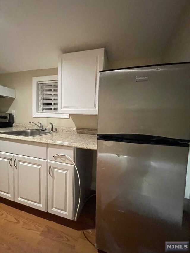
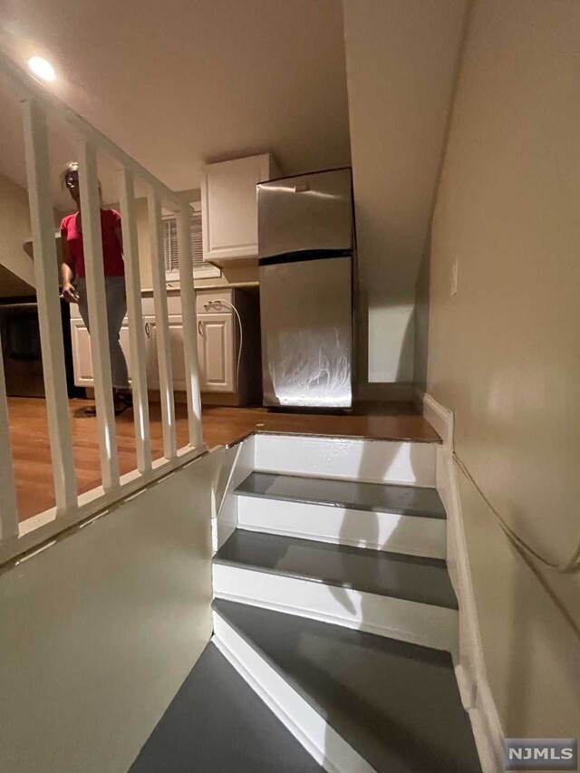
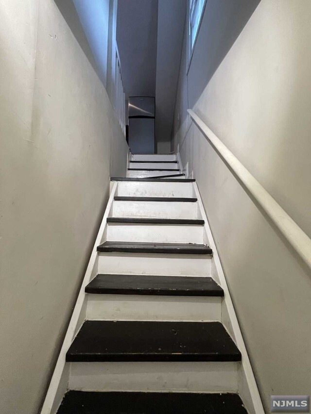
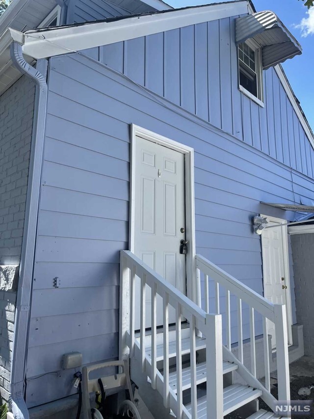
About This Property
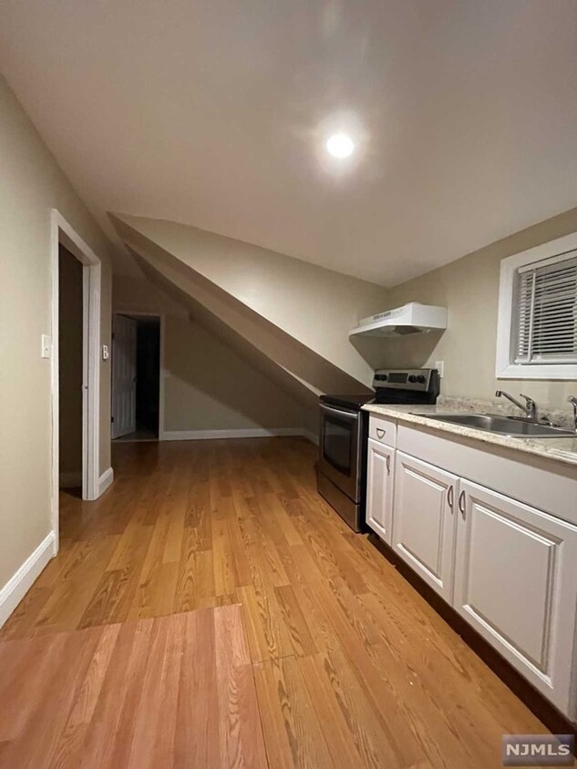
1 bedroom apartment located on the 2nd floor in the Hillcrest section of Paterson. Street parking only, No Laundry, No Use of Yard. Includes all utilities. NO PETS.
33-35 Totowa Ave is an apartment community located in Passaic County and the 07502 ZIP Code.
33-35 Totowa Ave,
Paterson,
NJ
07502
Paterson sits along the Passaic River just 15 miles from Midtown Manhattan, carrying the weight of genuine American industrial history in nearly every block. As the county seat of Passaic County and New Jersey's third-most populous city, it packs a remarkable amount of character into roughly nine square miles. The Great Falls of the Passaic River, now a National Historical Park, served as the original power source that made Paterson one of the country's first planned industrial cities, earning it the nickname Silk City for its once-dominant role in silk production. William Paterson University adds an academic presence to the broader area, drawing students and staff who contribute to the city's steady, grounded energy.
Neighborhoods here each carry their own personality. Downtown Paterson blends Beaux-Arts architecture with the Center City commercial district, while the Eastside Park Historic District offers tree-lined streets surrounding a 66-acre park.
Learn more about living in PatersonBelow are rent ranges for similar nearby apartments
Education
| Colleges & Universities | Distance | ||
|---|---|---|---|
| Colleges & Universities | Distance | ||
| Drive: | 4 min | 1.3 mi | |
| Drive: | 4 min | 2.3 mi | |
| Drive: | 8 min | 3.8 mi | |
| Drive: | 9 min | 5.0 mi |
33-35 Totowa Ave Unit 2 is within 4 minutes or 1.3 miles from Berkeley College. It is also near Passaic County C.C., Paterson and William Paterson University.
Transportation options available in Paterson include Grove Street, located 11.5 miles from 33-35 Totowa Ave Unit 2. 33-35 Totowa Ave Unit 2 is near Newark Liberty International, located 21.8 miles or 27 minutes away, and LaGuardia, located 26.6 miles or 39 minutes away.
| Transit / Subway | Distance | ||
|---|---|---|---|
| Transit / Subway | Distance | ||
|
|
Drive: | 17 min | 11.5 mi |
|
|
Drive: | 18 min | 11.8 mi |
|
|
Drive: | 18 min | 12.0 mi |
|
|
Drive: | 19 min | 12.3 mi |
| Commuter Rail | Distance | ||
|---|---|---|---|
| Commuter Rail | Distance | ||
|
|
Drive: | 4 min | 2.1 mi |
|
|
Drive: | 5 min | 3.1 mi |
|
|
Drive: | 7 min | 3.9 mi |
|
|
Drive: | 7 min | 4.3 mi |
|
|
Drive: | 8 min | 4.4 mi |
| Airports | Distance | ||
|---|---|---|---|
| Airports | Distance | ||
|
Newark Liberty International
|
Drive: | 27 min | 21.8 mi |
|
LaGuardia
|
Drive: | 39 min | 26.6 mi |
Walkability Near 33-35 Totowa Ave Paterson, NJ 07502
Getting Around
 What do Walkability, Transit, Drivability, and Bikeability mean?
Walkability measures the walking distance to day-to-day needs.
Transit measures access to public transportation.
Drivability measures congestion, parking availability, and access to major roads.
Bikeability measures the suitability for cycling.
How It Works
What do Walkability, Transit, Drivability, and Bikeability mean?
Walkability measures the walking distance to day-to-day needs.
Transit measures access to public transportation.
Drivability measures congestion, parking availability, and access to major roads.
Bikeability measures the suitability for cycling.
How It Works
Moderately Walkable
Walkability
70
/ 100
Some Public Transit
Transit
40
/ 100
Very Drivable
Drivability
80
/ 100
Fairly Bikeable
Bikeability
50
/ 100
Scores provided by
-
Soundscore™
-
/ 100
Traffic
-Airport
-Businesses
-Scores provided by
HowLoud What is a Sound Score Rating? A Sound Score Rating aggregates noise caused by vehicle traffic, airplane traffic and local sources. How It WorksTime and distance from 33-35 Totowa Ave Unit 2.
| Shopping Centers | Distance | ||
|---|---|---|---|
| Shopping Centers | Distance | ||
| Walk: | 9 min | 0.5 mi | |
| Drive: | 3 min | 1.7 mi | |
| Drive: | 4 min | 1.9 mi |
33-35 Totowa Ave Unit 2 has 3 shopping centers within 1.9 miles, which is about a 4-minute drive. The miles and minutes will be for the farthest away property.
| Parks and Recreation | Distance | ||
|---|---|---|---|
| Parks and Recreation | Distance | ||
|
Rifle Camp Park Observatory
|
Drive: | 8 min | 4.4 mi |
|
Presby Memorial Iris Gardens
|
Drive: | 10 min | 5.7 mi |
|
NJ Audubon Lorrimer Sanctuary
|
Drive: | 11 min | 6.6 mi |
|
Fairfield Farm
|
Drive: | 13 min | 7.6 mi |
|
Van Vleck House & Gardens
|
Drive: | 14 min | 8.0 mi |
33-35 Totowa Ave Unit 2 has 5 parks within 8.0 miles, including Rifle Camp Park Observatory, Presby Memorial Iris Gardens, and NJ Audubon Lorrimer Sanctuary.
| Hospitals | Distance | ||
|---|---|---|---|
| Hospitals | Distance | ||
| Drive: | 5 min | 2.4 mi | |
| Drive: | 10 min | 5.5 mi | |
| Drive: | 11 min | 7.0 mi |
33-35 Totowa Ave Unit 2 has 3 hospitals within 7.0 miles, the nearest is St. Joseph's Hospital and Medical Center which is 2.4 miles away and a 5 minute drive.
| Military Bases | Distance | ||
|---|---|---|---|
| Military Bases | Distance | ||
| Drive: | 36 min | 24.1 mi | |
| Drive: | 35 min | 26.3 mi | |
| Drive: | 50 min | 35.8 mi |
33-35 Totowa Ave Unit 2 has 3 military bases within 35.8 miles, the nearest is Governors Island Support Center which is 24.1 miles away and a 36 minute drive.
You May Also Like
How do I access Social Services in New Jersey?
Statewide service is free, confidential, multilingual and always open. Three easy ways to reach Social Services in NJ: Dial 2-1-1; text your zip code to 898-211; or chat at https://www.nj211.org
Similar Rentals Nearby


What Are Walk Score®, Transit Score®, and Bike Score® Ratings?
Walk Score® measures the walkability of any address. Transit Score® measures access to public transit. Bike Score® measures the bikeability of any address.
What is a Sound Score Rating?
A Sound Score Rating aggregates noise caused by vehicle traffic, airplane traffic and local sources.
33-35 Totowa Ave
Paterson, NJ 07502