

$675
/ Month
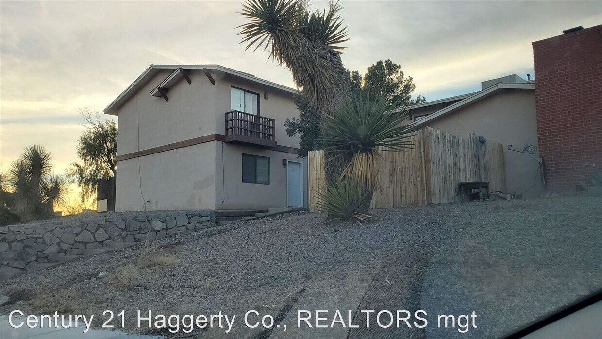
3266 Executive Hills Rd
Las Cruces, NM 88011
2 Weeks Ago
|
Edit
Favorites
3266 Executive Hills Rd

Favorites
Check Back Soon for Upcoming Availability
| Beds | Baths | Average SF |
|---|---|---|
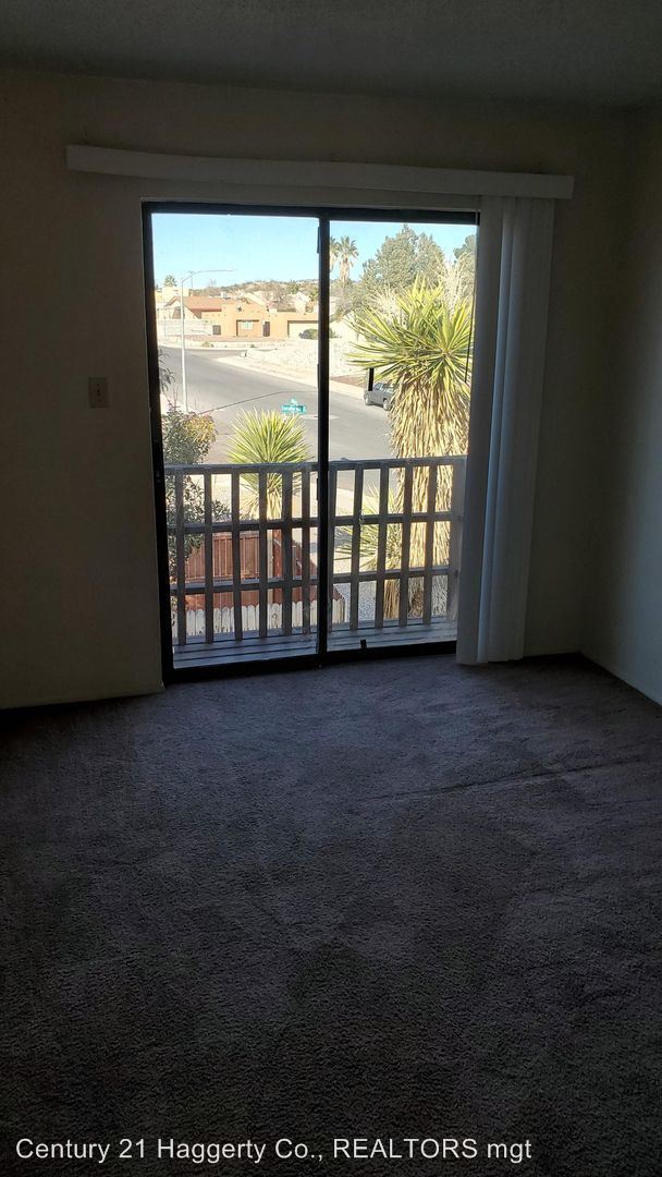
| 2 Bedrooms 2 Bedrooms 2 Br | 1.5 Baths 1.5 Baths 1.5 Ba | 900 SF |
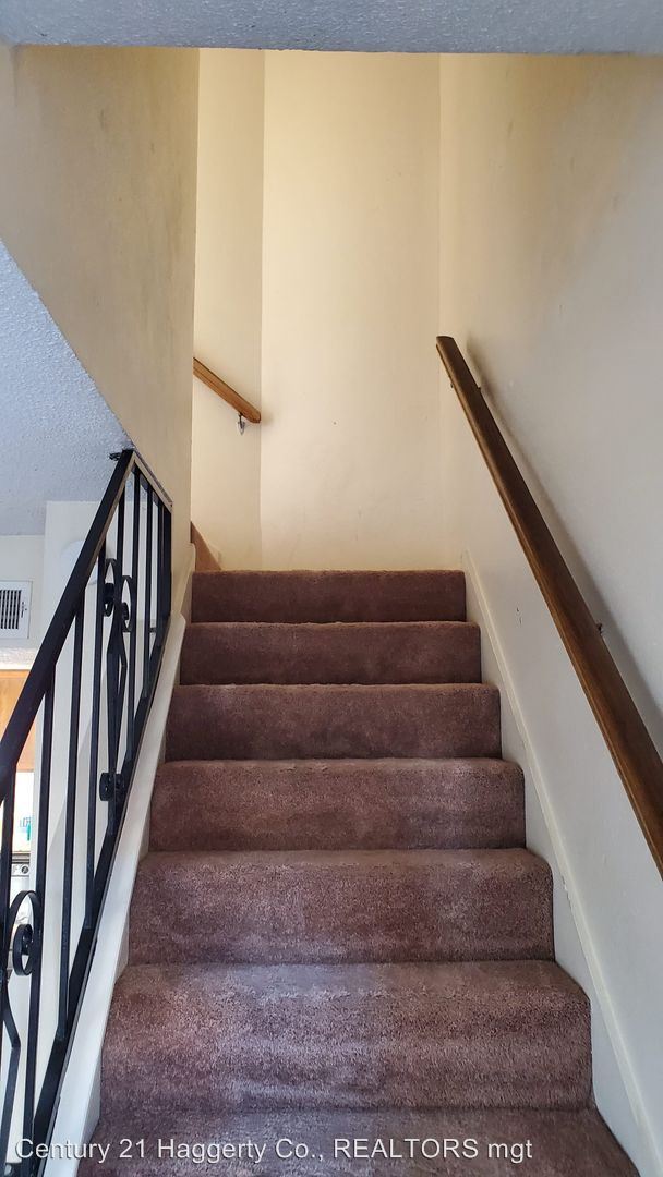
About This Property
(915) 757-3445 - 2 bedroom apartment with garage! - (RLNE4505613)
3266 Executive Hills Rd is an apartment community located in Dona Ana County and the 88011 ZIP Code.
3266 Executive Hills Rd,
Las Cruces,
NM
88011
Nestled in the Mesilla Valley with the Organ Mountains as its backdrop, Las Cruces combines rich Southwestern heritage with contemporary living. New Mexico State University is central to the community, contributing to the cultural landscape of New Mexico's second-largest city. The area features hiking trails throughout the Organ Mountains-Desert Peaks National Monument, community parks, and historic Mesilla Plaza, where traditional luminaria displays illuminate the plaza during holiday celebrations. Housing choices span from newer developments in the east side to traditional adobe homes near downtown. Current rental rates show one-bedroom apartments averaging $980 monthly, reflecting a 4.4% annual increase, while two-bedroom units typically rent for $1,126.
Las Cruces celebrates its chile-growing heritage throughout the year, including the annual New Year's Eve Chile Drop downtown.
Learn more about living in Las Cruces
Education
| Colleges & Universities | Distance | ||
|---|---|---|---|
| Colleges & Universities | Distance | ||
| Drive: | 8 min | 3.0 mi | |
| Drive: | 9 min | 3.9 mi | |
| Drive: | 9 min | 3.9 mi | |
| Drive: | 39 min | 31.2 mi |
3266 Executive Hills Rd is within 8 minutes or 3.0 miles from Burrell Osteopathic Medicine. It is also near New Mexico State University and Dona Ana Community College.
Walkability Near 3266 Executive Hills Rd Las Cruces, NM 88011
Getting Around
 What do Walkability, Transit, Drivability, and Bikeability mean?
Walkability measures the walking distance to day-to-day needs.
Transit measures access to public transportation.
Drivability measures congestion, parking availability, and access to major roads.
Bikeability measures the suitability for cycling.
How It Works
What do Walkability, Transit, Drivability, and Bikeability mean?
Walkability measures the walking distance to day-to-day needs.
Transit measures access to public transportation.
Drivability measures congestion, parking availability, and access to major roads.
Bikeability measures the suitability for cycling.
How It Works
Fairly Walkable
Walkability
50
/ 100
Minimal Public Transit
Transit
10
/ 100
Exceptionally Drivable
Drivability
90
/ 100
Fairly Bikeable
Bikeability
40
/ 100
Scores provided by
-
Soundscore™
-
/ 100
Traffic
-Airport
-Businesses
-Scores provided by
HowLoud What is a Sound Score Rating? A Sound Score Rating aggregates noise caused by vehicle traffic, airplane traffic and local sources. How It WorksYou May Also Like
Similar Rentals Nearby


What Are Walk Score®, Transit Score®, and Bike Score® Ratings?
Walk Score® measures the walkability of any address. Transit Score® measures access to public transit. Bike Score® measures the bikeability of any address.
What is a Sound Score Rating?
A Sound Score Rating aggregates noise caused by vehicle traffic, airplane traffic and local sources.

3266 Executive Hills Rd
Las Cruces, NM 88011