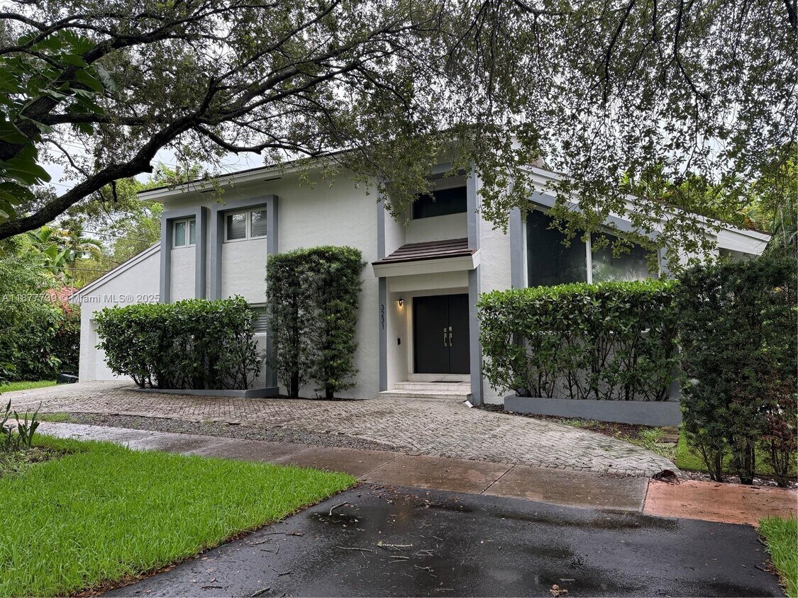
3231 Salzedo St
Coral Gables, FL 33134
-
Bedrooms
3
-
Bathrooms
3
-
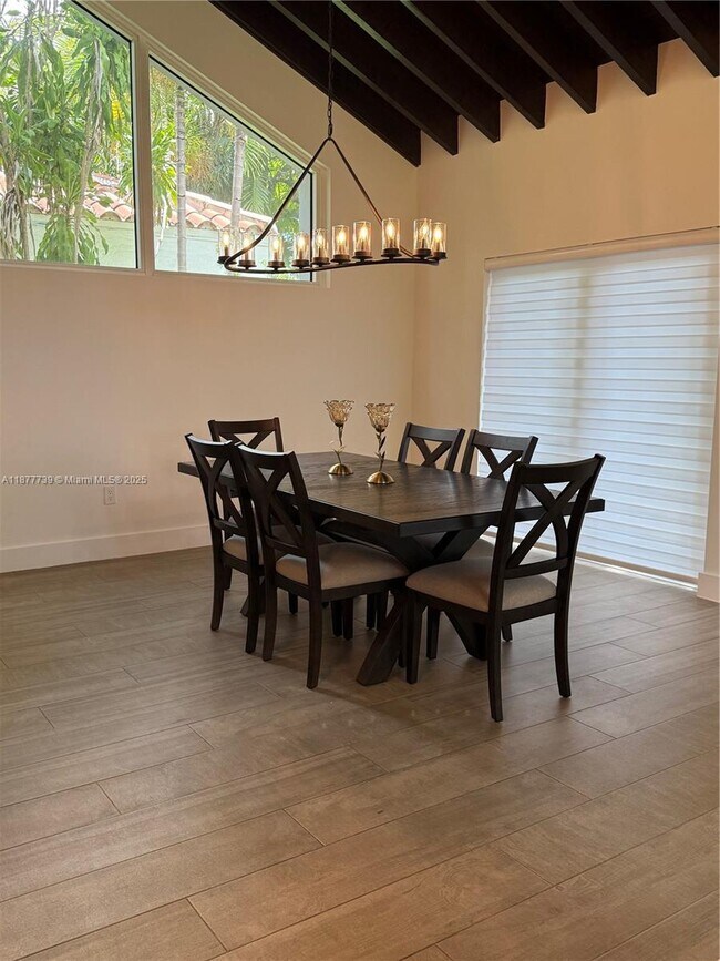
Square Feet
2,125 sq ft
-
Available
Available Now

Contact
- Phone Number
- Contact
Located just six miles southeast of Downtown Miami, Southeast Gables offers residents a tranquil home environment within close reach of world-class shopping, dining, entertainment, and employment opportunities. Southeast Gables is primarily residential, providing a broad range of apartments, condos, and houses available for rent along palm-tree-lined streets.
Southeast Gables is convenient to the diverse restaurants, shops, and offices that line Coral Way just north of the community, in addition to the popular Shops at Merrick Park, which lies to the south of the community. Some of the area’s most alluring parks are close by as well, including David T. Kennedy Park, A.D. Barnes Park, and Tropical Park. Southeast Gables is a top choice for many commuters due to its proximity to major employment centers like Brickell, Coconut Grove, and the University of Miami.
Learn more about living in Southeast Gables| Colleges & Universities | Distance | ||
|---|---|---|---|
| Colleges & Universities | Distance | ||
| Drive: | 4 min | 1.8 mi | |
| Drive: | 6 min | 2.6 mi | |
| Drive: | 7 min | 3.1 mi | |
| Drive: | 13 min | 6.2 mi |


View GreatSchools Rating Methodology
Data provided by GreatSchools.org © 2026. All rights reserved.
Transportation options available in Coral Gables include Miami Intl Airport Ground Level, located 5.0 miles from 3231 Salzedo St. 3231 Salzedo St is near Miami International, located 8.9 miles or 20 minutes away, and Fort Lauderdale/Hollywood International, located 28.8 miles or 42 minutes away.
| Transit / Subway | Distance | ||
|---|---|---|---|
| Transit / Subway | Distance | ||
|
Miami Intl Airport Ground Level
|
Drive: | 12 min | 5.0 mi |
|
Airport Station
|
Drive: | 14 min | 5.2 mi |
|
|
Drive: | 10 min | 5.2 mi |
|
|
Drive: | 11 min | 5.4 mi |
|
|
Drive: | 11 min | 5.8 mi |
| Commuter Rail | Distance | ||
|---|---|---|---|
| Commuter Rail | Distance | ||
|
|
Walk: | 19 min | 1.0 mi |
|
|
Drive: | 4 min | 2.1 mi |
|
|
Drive: | 4 min | 2.4 mi |
|
|
Drive: | 6 min | 3.4 mi |
|
|
Drive: | 9 min | 4.5 mi |
| Airports | Distance | ||
|---|---|---|---|
| Airports | Distance | ||
|
Miami International
|
Drive: | 20 min | 8.9 mi |
|
Fort Lauderdale/Hollywood International
|
Drive: | 42 min | 28.8 mi |
Time and distance from 3231 Salzedo St.
| Shopping Centers | Distance | ||
|---|---|---|---|
| Shopping Centers | Distance | ||
| Walk: | 10 min | 0.6 mi | |
| Walk: | 11 min | 0.6 mi | |
| Walk: | 13 min | 0.7 mi |
| Parks and Recreation | Distance | ||
|---|---|---|---|
| Parks and Recreation | Distance | ||
|
The Barnacle Historic State Park
|
Drive: | 5 min | 2.1 mi |
|
The Kampong
|
Drive: | 5 min | 2.3 mi |
|
Gifford Arboretum
|
Drive: | 6 min | 2.6 mi |
|
Miami Science Museum - Closed
|
Drive: | 8 min | 4.0 mi |
|
Vizcaya Museum and Gardens
|
Drive: | 10 min | 4.2 mi |
| Hospitals | Distance | ||
|---|---|---|---|
| Hospitals | Distance | ||
| Drive: | 4 min | 2.0 mi | |
| Drive: | 6 min | 2.4 mi | |
| Drive: | 7 min | 3.8 mi |
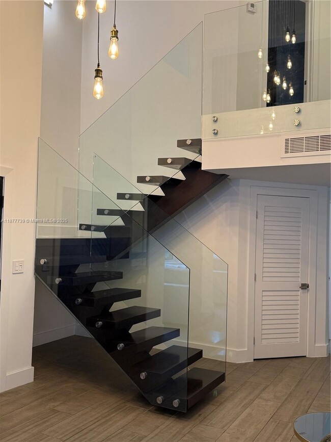
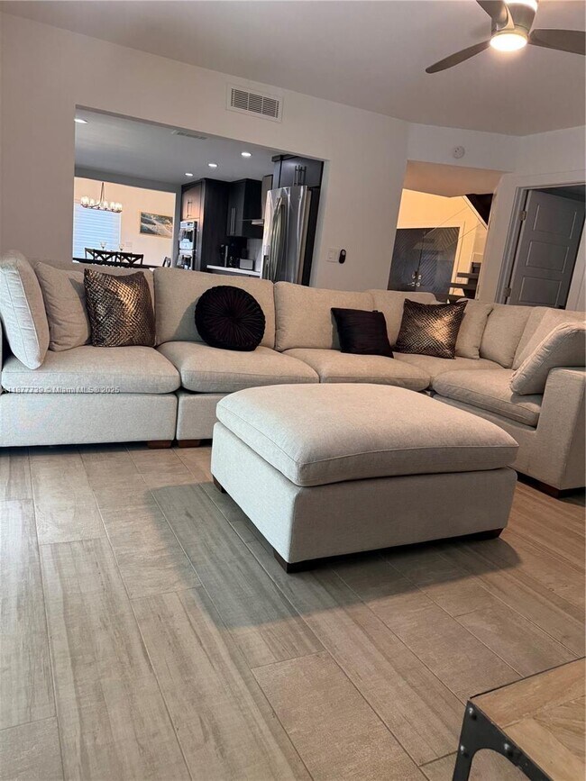
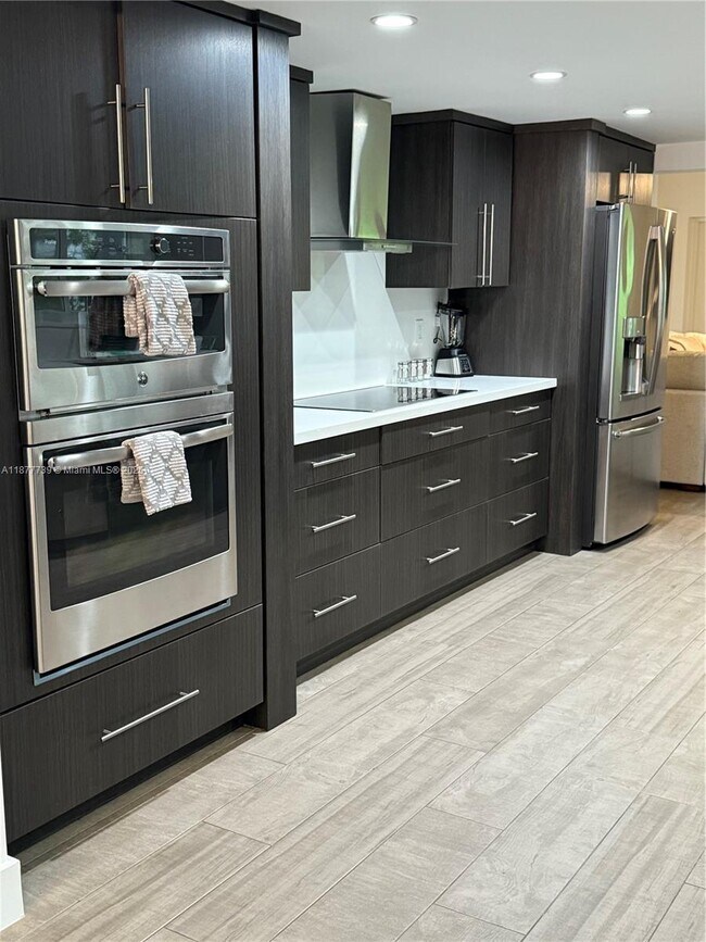
3231 Salzedo St Photos
What Are Walk Score®, Transit Score®, and Bike Score® Ratings?
Walk Score® measures the walkability of any address. Transit Score® measures access to public transit. Bike Score® measures the bikeability of any address.
What is a Sound Score Rating?
A Sound Score Rating aggregates noise caused by vehicle traffic, airplane traffic and local sources

3231 Salzedo St
Coral Gables, FL 33134