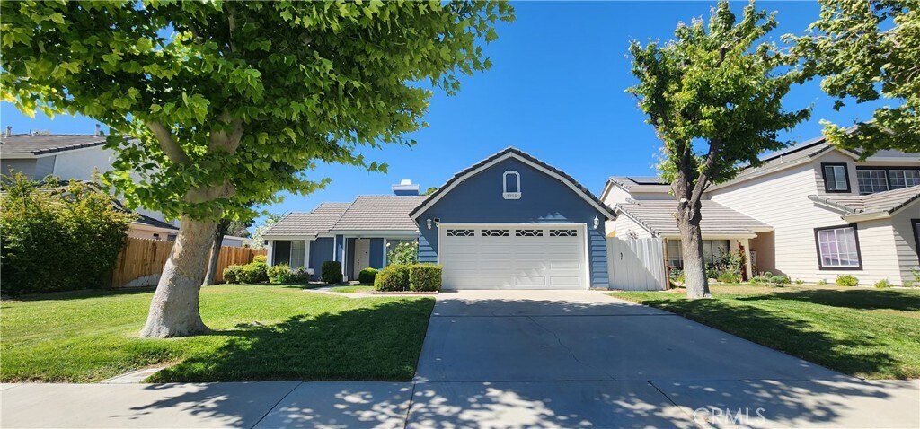
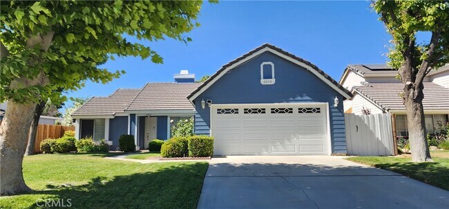
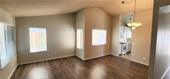
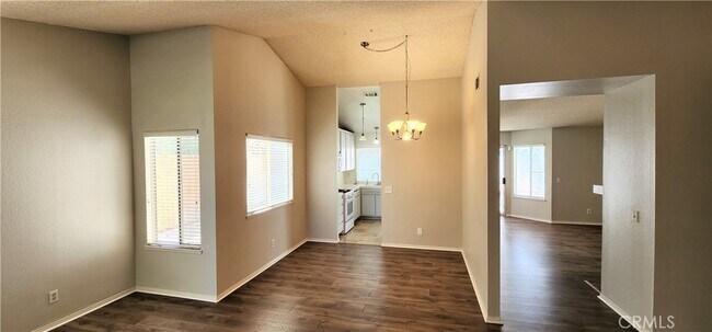
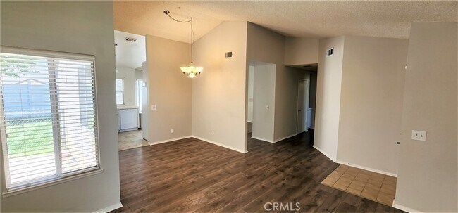
$2,450 / Month

3219 W Ave J4

,

Lancaster, CA 93536

2 Weeks Ago
| Edit

Under 30 minutes

Commute Time is calculated at rush hour.
Share Listing
Favorites
  • Bedrooms

    3

  • Bathrooms

    2

  • Square Feet

    1,350 sq ft

3219 W Ave J4
Share Listing
Favorites

Contact

  • Listed by Locayt
Neighborhood

The Antelope Valley region sits in the northernmost stretches of Los Angeles County. Antelope Valley also constitutes the western portion of the Mojave Desert, located between the Tehachapi, Sierra Pelona, and San Gabriel Mountains, which all lend stunning mountain vistas to the rentals in the region.

Antelope Valley’s largest cities include Lancaster and Palmdale, in addition to a slew of smaller cities and towns that each boast their own unique identity and sense of character. The region’s more affordable cost of living draws plenty of Los Angeles area commuters who don’t mind a longer commute time.

The rental options are just as diverse as the region itself, with an array of apartments, condos, townhomes, and houses available for rent throughout Antelope Valley. Popular spots for outdoor recreation include Angeles National Forest and Castaic Lake State Recreation Area, as well as Greater Los Angeles’ renowned beaches, which are about a two-hour drive away.

Learn more about living in Antelope Valley 
Education
Colleges & Universities Distance
Walk: 13 min 0.7 mi
Drive: 61 min 46.1 mi
Drive: 59 min 50.9 mi
Drive: 69 min 58.3 mi
3219 W Ave J4 is within 13 minutes or 0.7 mile from Antelope Valley College. It is also near College of the Canyons and Mission College.
Transportation

3219 W Ave J4 is near Bob Hope, located 57.8 miles or 68 minutes away.

Commuter Rail Distance
Drive: 7 min 3.8 mi
Drive: 16 min 10.1 mi
Drive: 22 min 16.4 mi
Drive: 46 min 39.3 mi
Drive: 49 min 40.1 mi
Airports Distance
Airports Distance
Bob Hope
Drive: 68 min 57.8 mi
Getting Around
Fairly Walkable
Walkability
40 / 100
Limited Public Transit
Transit
20 / 100
Very Drivable
Drivability
80 / 100
Fairly Bikeable
Bikeability
40 / 100

Scores provided by

What do Walkability, Transit, Drivability, and Bikeability mean? Walkability measures the walking distance to day-to-day needs. Transit measures access to public transportation. Drivability measures congestion, parking availability, and access to major roads. Bikeability measures the suitability for cycling. How It Works
-
Soundscore
- / 100

Traffic

-

Airport

-

Businesses

-

Scores provided by

HowLoud What is a Sound Score Rating? A Sound Score Rating aggregates noise caused by vehicle traffic, airplane traffic and local sources. How It Works
Points of Interest

Time and distance from 3219 W Ave J4.

Shopping Centers Distance
Drive: 3 min 1.4 mi
Drive: 3 min 1.4 mi
Drive: 4 min 1.8 mi
3219 W Ave J4 has 3 shopping centers within 1.8 miles, which is about a 4-minute drive. The miles and minutes will be for the farthest away property.
Hospitals Distance
Hospitals Distance
Drive: 4 min 2.0 mi
Drive: 13 min 9.0 mi
3219 W Ave J4 is 2.0 miles from Antelope Valley Hospital, and is convenient to other hospitals, including Palmdale Regional Medical Center.
Military Bases Distance
Drive: 46 min 20.8 mi
Drive: 42 min 31.0 mi
Drive: 154 min 55.2 mi
3219 W Ave J4 has 3 military bases within 55.2 miles, the nearest is Edwards Air Force Base North Antelope Valley which is 20.8 miles away and a 46 minute drive.

Similar Rentals Nearby