3070 Manley St

3070 Manley St, Carnesville, GA 30521

2 Weeks Ago
Share Listing
Favorites
3070 Manley St
Share Listing
Favorites

About 3070 Manley St Carnesville, GA 30521

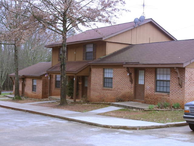
Experience Carnesville living at 3070 Manley St. This community is located in Carnesville on Manley St.. The leasing staff is waiting to show you all that this community has in store. Make sure you to check out the current floorplan options. Make your move to 3070 Manley St. Contact or drop by to talk about leasing your next apartment.

3070 Manley St is an apartment community located in Franklin County and the 30521 ZIP Code. This area is served by the Franklin County School District attendance zone.

Community Amenities

  • Controlled Access
  • 24 Hour Access
  • Walk-Up

Apartment Features

Washer/Dryer

Air Conditioning

Refrigerator

Tub/Shower

  • Washer/Dryer
  • Air Conditioning
  • Tub/Shower
  • Kitchen
  • Oven
  • Refrigerator
Location
3070 Manley St, Carnesville,
GA 30521
Get Directions
Education
Colleges & Universities Distance
Drive: 49 min 29.6 mi
Drive: 50 min 30.0 mi
Drive: 54 min 40.3 mi
Drive: 56 min 41.1 mi
3070 Manley St is within 49 minutes or 29.6 miles from Piedmont College, Demorest. It is also near Athens Technical College and Piedmont College, Athens.
Schools
Public Elementary School
Grades PK-5
313 Students
Attendance Zone
Public Elementary School
Grades PK-5
616 Students
Attendance Zone
Public Middle School
Grades 6-8
813 Students
Attendance Zone
Public High School
Grades 9-12
981 Students
Attendance Zone
Private Elementary, Middle & High School
Grades PK-12
Nearby
Private Middle & High School
Grades 6-12
30 Students
Nearby
Transportation
Commuter Rail Distance
Drive: 34 min 20.2 mi
Drive: 53 min 40.8 mi
Drive: 55 min 46.0 mi

Walkability Near 3070 Manley St Carnesville, GA 30521

Getting Around
Somewhat Walkable
Walkability
20 / 100
Exceptionally Drivable
Drivability
100 / 100
Somewhat Bikeable
Bikeability
20 / 100

Scores provided by

What do Walkability, Transit, Drivability, and Bikeability mean? Walkability measures the walking distance to day-to-day needs. Transit measures access to public transportation. Drivability measures congestion, parking availability, and access to major roads. Bikeability measures the suitability for cycling. How It Works
-
Soundscore
- / 100

Traffic

-

Airport

-

Businesses

-

Scores provided by

HowLoud What is a Sound Score Rating? A Sound Score Rating aggregates noise caused by vehicle traffic, airplane traffic and local sources. How It Works
Points of Interest

Time and distance from 3070 Manley St.

Shopping Centers Distance
Drive: 14 min 9.9 mi
Drive: 20 min 10.6 mi
Drive: 16 min 11.0 mi
3070 Manley St has 3 shopping centers within 11.0 miles, which is about a 16-minute drive. The miles and minutes will be for the farthest away property.
Parks and Recreation Distance
Victoria Bryant State Park
Drive: 21 min 10.3 mi
3070 Manley St has a nearby park, Victoria Bryant State Park , located 10.3 miles or 21 minutes away.
Hospitals Distance
Hospitals Distance
Drive: 16 min 9.0 mi
3070 Manley St is 9.0 miles and a 16 minute drive from Ty Cobb Regional Medical Center.