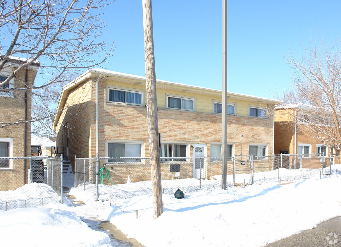
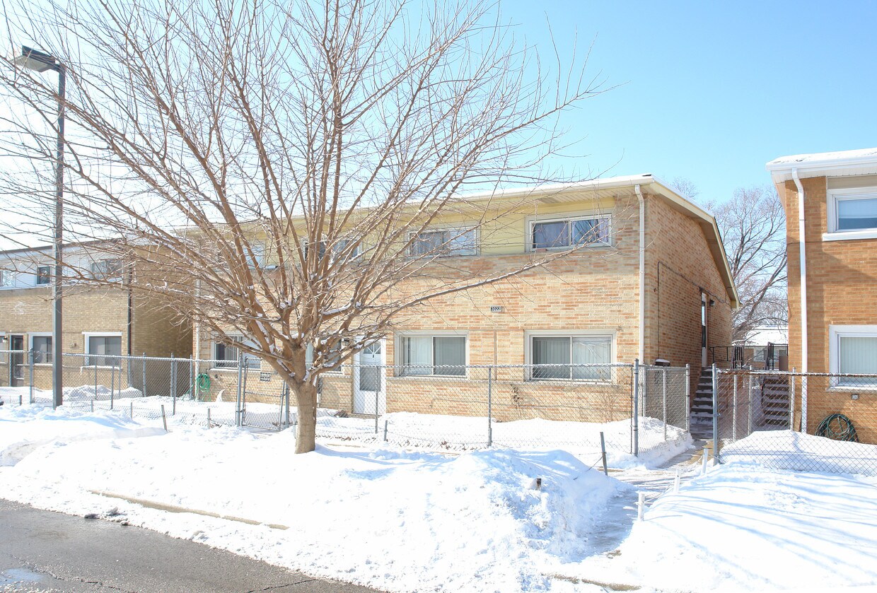
3022 Prairie St
3022 Prairie St,
Franklin Park,
IL
60131
2 Weeks Ago
|
Edit
Favorites
3022 Prairie St
Favorites
Check Back Soon for Upcoming Availability
Fees and Policies
The fees below are based on community-supplied data and may exclude additional fees and utilities.
- Parking
-
Surface Lot--1 Max
Details
Property Information
-
Built in 1961
-
5 units/2 stories
About 3022 Prairie St Franklin Park, IL 60131
At 3022 Prairie St, experience great living. This community can be found at 3022 Prairie St. in the 60131 area of Franklin Park. From pricing to features, the team of leasing professionals is ready to help match you with the perfect fit. Schedule a time to see the current floorplan options. Stop by the leasing office to find out the current floorplan availability.
3022 Prairie St is an apartment community located in Cook County and the 60131 ZIP Code. This area is served by the Mannheim School District 83 attendance zone.
Location
Get Directions
Franklin Park is an accessible town just south of the O’Hare International Airport and 17 miles from downtown Chicago. The city borders the Indian Boundary Golf Course, and offers easy access to major highways like I-294 and US-12, a great perk for commuters. Local charm defines this small town with family-owned restaurants, good public schools, and nearby conveniences.
Visit Lulu Belle’s Pancake House for a family owned and run café with southern-style meals. On game days, Sneaker’s Sports Bar & Grill is the place to be for its pub eats and full bar. Along Grand Avenue, you’ll find more restaurants, banks, retailers, and convenience stores. Fine dining, movie theaters, and more family-friendly entertainment is located in neighboring cities.
Learn more about living in Franklin Park
Education
| Colleges & Universities | Distance | ||
|---|---|---|---|
| Colleges & Universities | Distance | ||
| Drive: | 8 min | 3.7 mi | |
| Drive: | 12 min | 5.6 mi | |
| Drive: | 13 min | 5.9 mi | |
| Drive: | 14 min | 6.2 mi |
3022 Prairie St is within 8 minutes or 3.7 miles from Triton College. It is also near Dominican University and Elmhurst University.
Schools


Public Elementary School
Grades PK-5
223 Students
Nearby
Public Elementary School
Grades K-5
464 Students
Attendance Zone
Public Middle School
Grades 6-8
833 Students
Attendance Zone
Public High School
Grades 9-12
1,803 Students
Attendance Zone
Public High School
Grades 9-12
Nearby
Private Elementary & Middle School
Grades PK-8
122 Students
Nearby
Private Middle & High School
Grades 6-12
Nearby
School data provided by
 The GreatSchools Rating helps parents compare schools within a state based on a variety of school quality indicators and provides a helpful picture of how effectively each school serves all of its students. Ratings are on a scale of 1 (below average) to 10 (above average) and can include test scores, college readiness, academic progress, advanced courses, equity, discipline and attendance data. We also advise parents to visit schools, consider other information on school performance and programs, and consider family needs as part of the school selection process.
View GreatSchools Rating Methodology
Data provided by GreatSchools.org © 2025. All rights reserved.
View GreatSchools Rating Methodology
Data provided by GreatSchools.org © 2025. All rights reserved.
Transportation options available in Franklin Park include Rosemont Station, located 4.7 miles from 3022 Prairie St. 3022 Prairie St is near Chicago O'Hare International, located 5.8 miles or 10 minutes away, and Chicago Midway International, located 15.8 miles or 29 minutes away.
| Transit / Subway | Distance | ||
|---|---|---|---|
| Transit / Subway | Distance | ||
|
|
Drive: | 8 min | 4.7 mi |
|
|
Drive: | 9 min | 5.8 mi |
|
|
Drive: | 12 min | 6.3 mi |
|
|
Drive: | 15 min | 7.3 mi |
|
|
Drive: | 11 min | 7.3 mi |
| Commuter Rail | Distance | ||
|---|---|---|---|
| Commuter Rail | Distance | ||
|
|
Drive: | 4 min | 1.4 mi |
|
|
Drive: | 5 min | 2.0 mi |
|
|
Drive: | 5 min | 2.3 mi |
|
|
Drive: | 6 min | 3.0 mi |
|
|
Drive: | 14 min | 4.4 mi |
| Airports | Distance | ||
|---|---|---|---|
| Airports | Distance | ||
|
Chicago O'Hare International
|
Drive: | 10 min | 5.8 mi |
|
Chicago Midway International
|
Drive: | 29 min | 15.8 mi |
Time and distance from 3022 Prairie St.
| Shopping Centers | Distance | ||
|---|---|---|---|
| Shopping Centers | Distance | ||
| Walk: | 9 min | 0.5 mi | |
| Walk: | 11 min | 0.6 mi | |
| Walk: | 13 min | 0.7 mi |
3022 Prairie St has 3 shopping centers within 0.7 mile, which is about a 13-minute walk. The miles and minutes will be for the farthest away property.
| Parks and Recreation | Distance | ||
|---|---|---|---|
| Parks and Recreation | Distance | ||
|
Cernan Earth and Space Center
|
Drive: | 7 min | 3.4 mi |
|
Schiller Woods
|
Drive: | 10 min | 4.0 mi |
|
Catherine Chevalier Woods
|
Drive: | 10 min | 5.2 mi |
|
Lizzadro Museum of Lapidary Art
|
Drive: | 13 min | 6.0 mi |
|
Wilder Park Conservatory
|
Drive: | 13 min | 6.0 mi |
3022 Prairie St has 5 parks within 6.0 miles, including Cernan Earth and Space Center, Schiller Woods, and Catherine Chevalier Woods.
| Hospitals | Distance | ||
|---|---|---|---|
| Hospitals | Distance | ||
| Drive: | 9 min | 4.0 mi | |
| Drive: | 9 min | 4.6 mi | |
| Drive: | 11 min | 5.5 mi |
3022 Prairie St has 3 hospitals within 5.5 miles, the nearest is Gottlieb Memorial Hospital which is 4.0 miles away and a 9 minute drive.
| Military Bases | Distance | ||
|---|---|---|---|
| Military Bases | Distance | ||
| Drive: | 22 min | 15.0 mi |
3022 Prairie St is 15.0 miles and a 22 minute drive from US Military Reservation Elk Grove.
You May Also Like
Similar Rentals Nearby


What Are Walk Score®, Transit Score®, and Bike Score® Ratings?
Walk Score® measures the walkability of any address. Transit Score® measures access to public transit. Bike Score® measures the bikeability of any address.
What is a Sound Score Rating?
A Sound Score Rating aggregates noise caused by vehicle traffic, airplane traffic and local sources
Responded To This Review