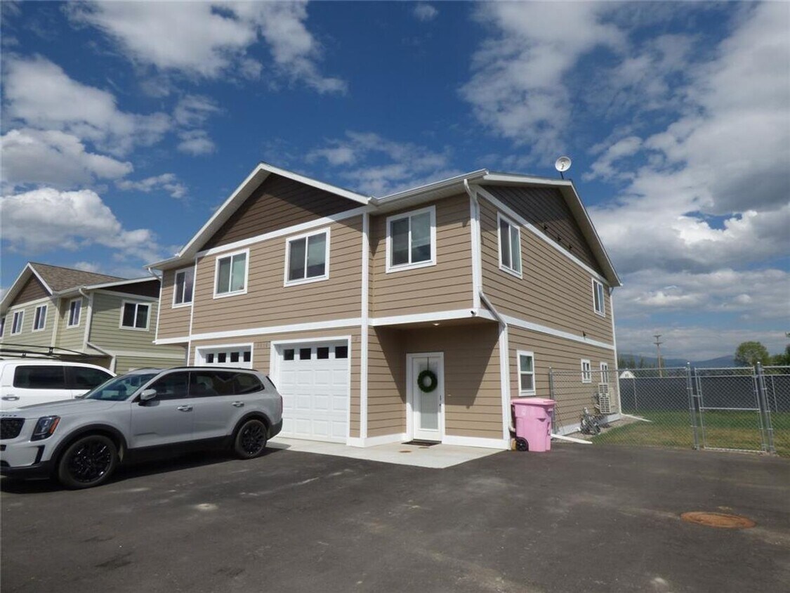
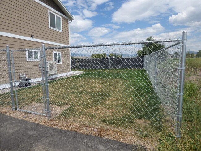
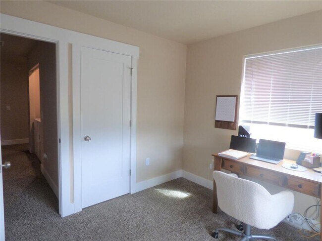
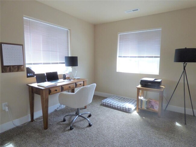
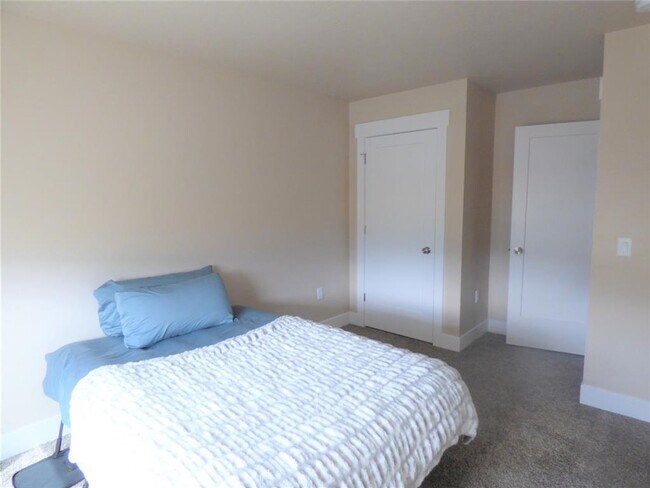
$2,695 / Month

3010 Maia Jane Ln Unit 2

,

Missoula, MT 59808

2 Weeks Ago
| Edit

Under 30 minutes

Commute Time is calculated at rush hour.
Share Listing
Favorites
3010 Maia Jane Ln Unit 2
Share Listing
Favorites

Check Back Soon for Upcoming Availability

Beds Baths Average SF
3 Bedrooms 3 Bedrooms 3 Br 2.5 Baths 2.5 Baths 2.5 Ba 1,750 SF
Location
3010 Maia Jane Ln, Missoula,
MT 59808
Get Directions
City - Missoula

Located at the meeting point of five mountain ranges in western Montana, Missoula combines outdoor recreation with a rich cultural scene. The city of over 87,000 residents features the Clark Fork River running through its center, complemented by 400 acres of parkland and 22 miles of trails. Downtown Missoula preserves its historic character with local shops and eateries in restored buildings, while residential areas include established neighborhoods near the University of Montana campus and newer communities in the South Hills. The rental market includes apartments, townhomes, and single-family houses, with current average rents ranging from $1,036 for studios to $1,982 for three-bedroom units, reflecting a 3.3% annual increase.

Missoula, nicknamed the "Garden City," serves as a regional center in western Montana. Mount Sentinel and Mount Jumbo frame the city's skyline, offering hiking trails including the well-known "M" trail with valley views.

Learn more about living in Missoula 
Education
Colleges & Universities Distance
Drive: 17 min 9.2 mi
3010 Maia Jane Ln Unit 2 is within 17 minutes or 9.2 miles from The University of Montana.
Transportation

3010 Maia Jane Ln Unit 2 is near Missoula Montana, located 8.0 miles or 16 minutes away.

Airports Distance
Airports Distance
Missoula Montana
Drive: 16 min 8.0 mi

Walkability Near 3010 Maia Jane Ln Missoula, MT 59808

Getting Around
Not Walkable
Walkability
10 / 100
Minimal Public Transit
Transit
0 / 100
Exceptionally Drivable
Drivability
90 / 100
Somewhat Bikeable
Bikeability
30 / 100

Scores provided by

What do Walkability, Transit, Drivability, and Bikeability mean? Walkability measures the walking distance to day-to-day needs. Transit measures access to public transportation. Drivability measures congestion, parking availability, and access to major roads. Bikeability measures the suitability for cycling. How It Works
-
Soundscore
- / 100

Traffic

-

Airport

-

Businesses

-

Scores provided by

HowLoud What is a Sound Score Rating? A Sound Score Rating aggregates noise caused by vehicle traffic, airplane traffic and local sources. How It Works
Points of Interest

Time and distance from 3010 Maia Jane Ln Unit 2.

Shopping Centers Distance
Drive: 9 min 5.3 mi
Drive: 10 min 5.5 mi
Drive: 10 min 5.8 mi
3010 Maia Jane Ln Unit 2 has 3 shopping centers within 5.8 miles, which is about a 10-minute drive. The miles and minutes will be for the farthest away property.
Parks and Recreation Distance
Council Grove State Park
Drive: 5 min 2.0 mi
Rocky Mountain Elk Foundation's Elk Country Visitor Center
Drive: 14 min 7.5 mi
Beavertail Hill State Park
Drive: 14 min 7.8 mi
Anaconda Smoke Stack State Park
Drive: 14 min 7.8 mi
Blue Mountain Nature Trail
Drive: 23 min 9.1 mi
3010 Maia Jane Ln Unit 2 has 5 parks within 9.1 miles, including Council Grove State Park, Rocky Mountain Elk Foundation's Elk Country Visitor Center, and Beavertail Hill State Park.
Hospitals Distance
Hospitals Distance
Drive: 12 min 7.0 mi
Drive: 16 min 8.5 mi
3010 Maia Jane Ln Unit 2 is 7.0 miles from St. Patrick Hospital, and is convenient to other hospitals, including Community Medical Center.

You May Also Like