
$100
Total Monthly Price
300 N Dianne Ln Unit 201
Mahomet, IL 61853
Favorites
300 N Dianne Ln Unit 201

Favorites
Check Back Soon for Upcoming Availability
| Beds | Baths | Average SF |
|---|---|---|
| 1 Bedroom 1 Bedroom 1 Br | 1 Bath 1 Bath 1 Ba | 600 SF |
Fees and Policies
The fees listed below are community-provided and may exclude utilities or add-ons. All payments are made directly to the property and are non-refundable unless otherwise specified.
- Parking
-
Surface Lot--
Details
Utilities Included
-
Trash Removal
-
Sewer
-
Air Conditioning
Property Information
-
16 units
About This Property
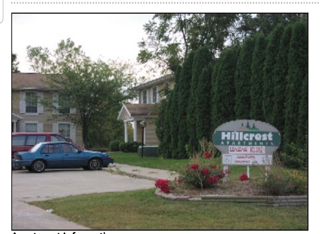
Quiet property located 20 minutes from Champaign - Urbana. Great school system nearby. Rent is based on income. No known amount until paperwork has been received and completed.
300 N Dianne Ln is an apartment community located in Champaign County and the 61853 ZIP Code.
Apartment Features
- Laundry Facilities
300 N Dianne Ln,
Mahomet,
IL
61853
Amenities
- Laundry Facilities
Expenses
Utilities Included
Trash Removal, Sewer, Air Conditioning
Included
Education
| Colleges & Universities | Distance | ||
|---|---|---|---|
| Colleges & Universities | Distance | ||
| Drive: | 19 min | 10.5 mi | |
| Drive: | 23 min | 13.3 mi | |
| Drive: | 54 min | 40.2 mi |
300 N Dianne Ln Unit 201 is within 19 minutes or 10.5 miles from Parkland College. It is also near University of Illinois and Richland Community College.
Walkability Near 300 N Dianne Ln Mahomet, IL 61853
Getting Around
 What do Walkability, Transit, Drivability, and Bikeability mean?
Walkability measures the walking distance to day-to-day needs.
Transit measures access to public transportation.
Drivability measures congestion, parking availability, and access to major roads.
Bikeability measures the suitability for cycling.
How It Works
What do Walkability, Transit, Drivability, and Bikeability mean?
Walkability measures the walking distance to day-to-day needs.
Transit measures access to public transportation.
Drivability measures congestion, parking availability, and access to major roads.
Bikeability measures the suitability for cycling.
How It Works
Somewhat Walkable
Walkability
30
/ 100
Exceptionally Drivable
Drivability
100
/ 100
Fairly Bikeable
Bikeability
50
/ 100
Scores provided by
-
Soundscore™
-
/ 100
Traffic
-Airport
-Businesses
-Scores provided by
HowLoud What is a Sound Score Rating? A Sound Score Rating aggregates noise caused by vehicle traffic, airplane traffic and local sources. How It WorksYou May Also Like
Similar Rentals Nearby


What Are Walk Score®, Transit Score®, and Bike Score® Ratings?
Walk Score® measures the walkability of any address. Transit Score® measures access to public transit. Bike Score® measures the bikeability of any address.
What is a Sound Score Rating?
A Sound Score Rating aggregates noise caused by vehicle traffic, airplane traffic and local sources.
300 N Dianne Ln
Mahomet, IL 61853