
$2,600
Total Monthly Price
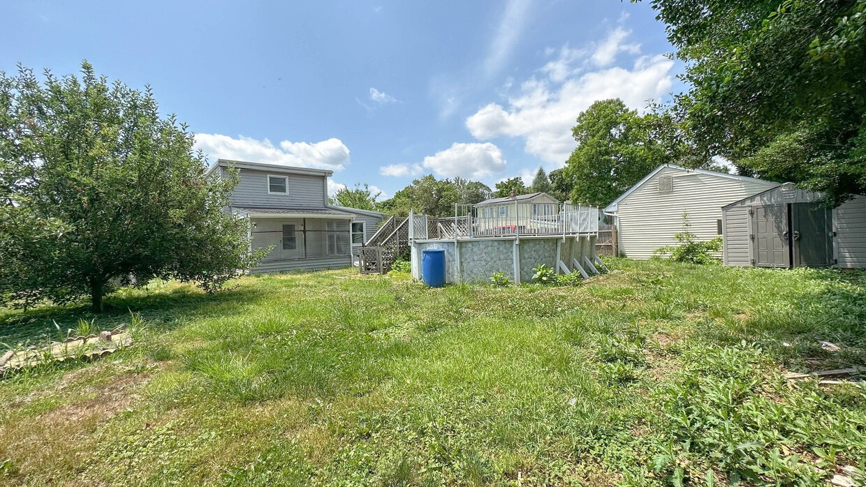
29 Hunt St
Woodstown, NJ 08098
Favorites
29 Hunt St

Favorites
Check Back Soon for Upcoming Availability
| Beds | Baths | Average SF |
|---|---|---|
| 5 Bedrooms 5 Bedrooms 5 Br | 2 Baths 2 Baths 2 Ba | 2,000 SF |
Fees and Policies
The fees listed below are community-provided and may exclude utilities or add-ons. All payments are made directly to the property and are non-refundable unless otherwise specified.
- Dogs Allowed
-
Fees not specified
- Cats Allowed
-
Fees not specified
- Parking
-
Other--
Details
Utilities Included
-
Sewer
About This Property
single Family House TO VIEW THIS AMAZING PROPERTY PLEASE CONTACT
29 Hunt St is a house located in Salem County and the 08098 ZIP Code.
House Features
Dishwasher
Washer/Dryer Hookup
Dining Room
Kitchen
- Washer/Dryer Hookup
- Dishwasher
- Kitchen
- Dining Room
- Pool
- Yard
29 Hunt St,
Woodstown,
NJ
08098
Amenities
- Washer/Dryer Hookup
- Dishwasher
- Kitchen
- Dining Room
- Yard
- Pool
Expenses
Utilities Included
Sewer
Included
Education
| Colleges & Universities | Distance | ||
|---|---|---|---|
| Colleges & Universities | Distance | ||
| Drive: | 25 min | 15.1 mi | |
| Drive: | 27 min | 15.5 mi | |
| Drive: | 26 min | 16.0 mi | |
| Drive: | 32 min | 18.5 mi |
29 Hunt St is within 25 minutes or 15.1 miles from Rowan University. It is also near Gloucester County College and Wilmington University.
Walkability Near 29 Hunt St Woodstown, NJ 08098
Getting Around
 What do Walkability, Transit, Drivability, and Bikeability mean?
Walkability measures the walking distance to day-to-day needs.
Transit measures access to public transportation.
Drivability measures congestion, parking availability, and access to major roads.
Bikeability measures the suitability for cycling.
How It Works
What do Walkability, Transit, Drivability, and Bikeability mean?
Walkability measures the walking distance to day-to-day needs.
Transit measures access to public transportation.
Drivability measures congestion, parking availability, and access to major roads.
Bikeability measures the suitability for cycling.
How It Works
Somewhat Walkable
Walkability
30
/ 100
Limited Public Transit
Transit
30
/ 100
Exceptionally Drivable
Drivability
100
/ 100
Somewhat Bikeable
Bikeability
30
/ 100
Scores provided by
-
Soundscore™
-
/ 100
Traffic
-Airport
-Businesses
-Scores provided by
HowLoud What is a Sound Score Rating? A Sound Score Rating aggregates noise caused by vehicle traffic, airplane traffic and local sources. How It WorksYou May Also Like
How do I access Social Services in New Jersey?
Statewide service is free, confidential, multilingual and always open. Three easy ways to reach Social Services in NJ: Dial 2-1-1; text your zip code to 898-211; or chat at https://www.nj211.org
Similar Rentals Nearby
-
-

-

-
-

-

-
 4 Beds, 3 Baths, 2,528 sq ft$4,000Total Monthly PriceTotal Monthly Price NewPrices include all required monthly fees.51 Nocentino Dr
 -
 5 Beds, 1 Bath, 1,344 sq ft$1,900Total Monthly PriceTotal Monthly Price NewPrices include all required monthly fees.108 W Buck St
 -
 4 Beds, 3 Baths, 1,895 sq ft$3,200Total Monthly PriceTotal Monthly Price NewPrices include all required monthly fees.14 Halo Ave
 -
 4 Beds, 3 Baths, 1,620 sq ft$2,800Total Monthly PriceTotal Monthly Price NewPrices include all required monthly fees.426 E Hinckley Ave

What Are Walk Score®, Transit Score®, and Bike Score® Ratings?
Walk Score® measures the walkability of any address. Transit Score® measures access to public transit. Bike Score® measures the bikeability of any address.
What is a Sound Score Rating?
A Sound Score Rating aggregates noise caused by vehicle traffic, airplane traffic and local sources.

29 Hunt St
Woodstown, NJ 08098