


$2,100
Total Monthly Price
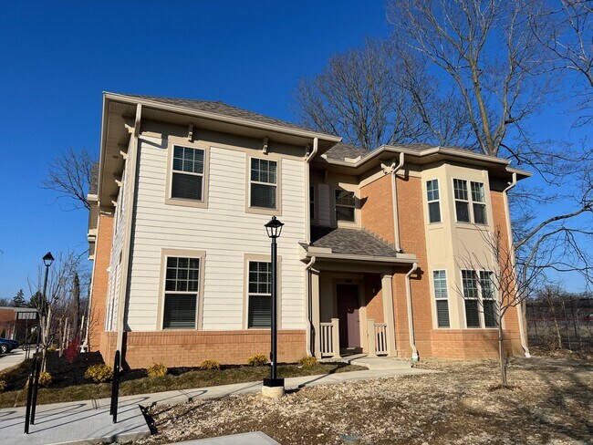
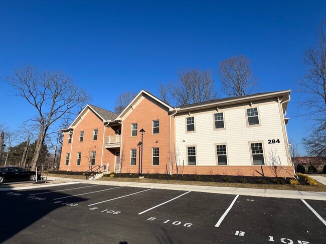
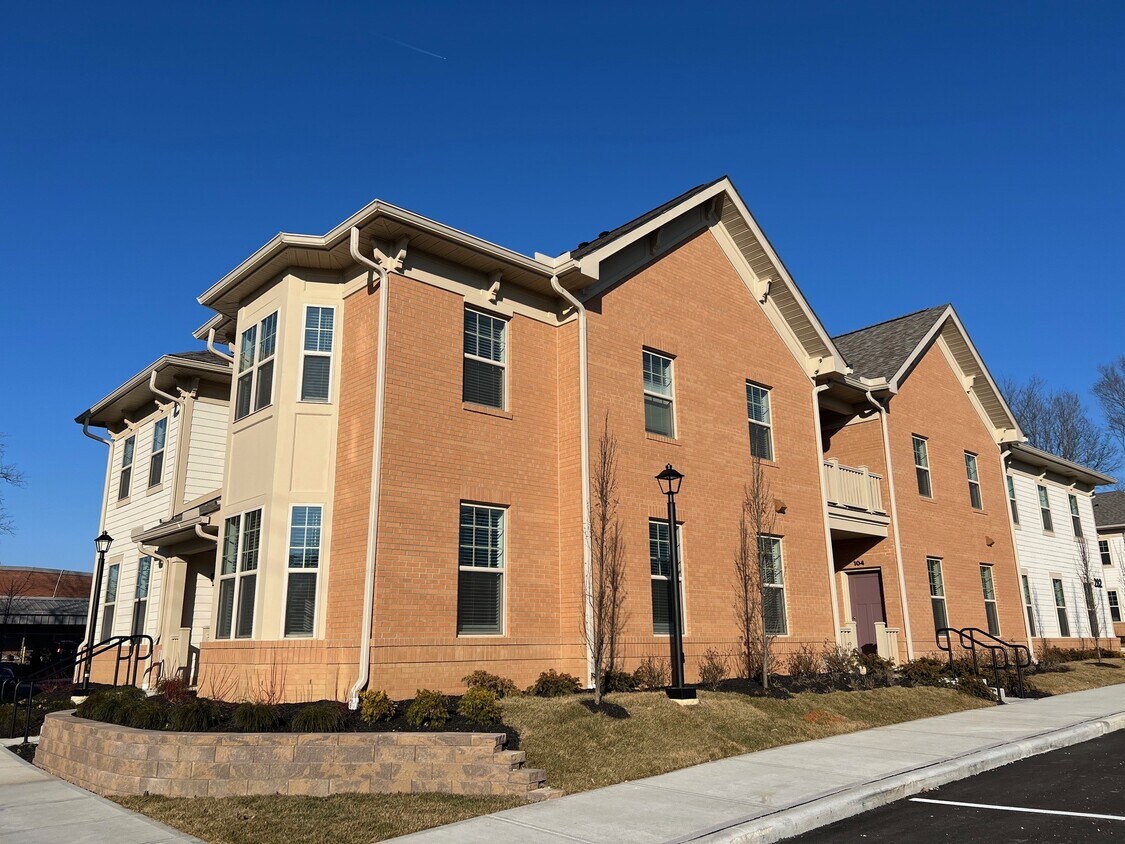
270 S State St
Westerville, OH 43081
Favorites
270 S State St

Favorites
Check Back Soon for Upcoming Availability
| Beds | Baths | Average SF |
|---|---|---|
| 2 Bedrooms 2 Bedrooms 2 Br | 2 Baths 2 Baths 2 Ba | 1,300 SF |
Fees and Policies
The fees listed below are community-provided and may exclude utilities or add-ons. All payments are made directly to the property and are non-refundable unless otherwise specified.
- Dogs Allowed
-
Fees not specified
- Cats Allowed
-
Fees not specified
- Parking
-
Surface Lot--
Details
Utilities Included
-
Trash Removal
About This Property
Brand new luxury apartments in the heart of Westerville. Featuring 2 bedrooms and 2 bathrooms. 1,185-1,442 sqft of finished living space. Luxury vinyl flooring throughout. High ceilings. Stainless steel appliances and granite countertops. WESTERVILLE CSD Schools! Washer and dryer included in the unit. Great location - close to Polaris shopping mall, restaurants, and highways; 270, 71. 2 assigned parking spots per unit, and plenty of bike racks. Outdoor BBQ area.
270 S State St is a townhome located in Franklin County and the 43081 ZIP Code.
Townhome Features
Washer/Dryer
High Speed Internet Access
Granite Countertops
Tub/Shower
- High Speed Internet Access
- Washer/Dryer
- Heating
- Storage Space
- Tub/Shower
- Granite Countertops
- Stainless Steel Appliances
- Vinyl Flooring
270 S State St,
Westerville,
OH
43081
Westerville combines suburban comfort with historic character throughout its 12.6 square miles. Home to Otterbein University, this Columbus suburb features tree-lined streets and well-maintained parks. The rental market remains steady, with current average rents ranging from $1,007 for studios to $2,034 for three-bedroom homes. The historic Uptown district along State Street offers local shops and restaurants, while the Polaris area provides contemporary housing options.
Westerville's rich history shapes its present-day character. As the former headquarters of the Anti-Saloon League, the city earned the nickname "The Dry Capital of the World" during the Prohibition era. Today, the community offers diverse housing choices, from historic properties near Otterbein University to modern apartment communities in northern Westerville. Residents enjoy an extensive parks system with walking trails throughout the city.
Learn more about living in WestervilleBelow are rent ranges for similar nearby apartments
Amenities
- High Speed Internet Access
- Washer/Dryer
- Heating
- Storage Space
- Tub/Shower
- Granite Countertops
- Stainless Steel Appliances
- Vinyl Flooring
Expenses
Utilities Included
Trash Removal
Included
Education
| Colleges & Universities | Distance | ||
|---|---|---|---|
| Colleges & Universities | Distance | ||
| Walk: | 16 min | 0.9 mi | |
| Drive: | 15 min | 9.8 mi | |
| Drive: | 21 min | 11.9 mi | |
| Drive: | 21 min | 13.7 mi |
270 S State St is within 16 minutes or 0.9 mile from Otterbein College. It is also near Ohio Dominican University and The Ohio State University.
Walkability Near 270 S State St Westerville, OH 43081
Getting Around
 What do Walkability, Transit, Drivability, and Bikeability mean?
Walkability measures the walking distance to day-to-day needs.
Transit measures access to public transportation.
Drivability measures congestion, parking availability, and access to major roads.
Bikeability measures the suitability for cycling.
How It Works
What do Walkability, Transit, Drivability, and Bikeability mean?
Walkability measures the walking distance to day-to-day needs.
Transit measures access to public transportation.
Drivability measures congestion, parking availability, and access to major roads.
Bikeability measures the suitability for cycling.
How It Works
Moderately Walkable
Walkability
60
/ 100
Limited Public Transit
Transit
30
/ 100
Exceptionally Drivable
Drivability
100
/ 100
Fairly Bikeable
Bikeability
50
/ 100
Scores provided by
-
Soundscore™
-
/ 100
Traffic
-Airport
-Businesses
-Scores provided by
HowLoud What is a Sound Score Rating? A Sound Score Rating aggregates noise caused by vehicle traffic, airplane traffic and local sources. How It WorksYou May Also Like
Similar Rentals Nearby


What Are Walk Score®, Transit Score®, and Bike Score® Ratings?
Walk Score® measures the walkability of any address. Transit Score® measures access to public transit. Bike Score® measures the bikeability of any address.
What is a Sound Score Rating?
A Sound Score Rating aggregates noise caused by vehicle traffic, airplane traffic and local sources.
270 S State St
Westerville, OH 43081