

$2,000 Total Monthly Price

26 Reynolds St

,

Attleboro, MA 02703

Share Listing
Favorites
26 Reynolds St
Share Listing
Favorites

Check Back Soon for Upcoming Availability

Beds Baths Average SF
4 Bedrooms 4 Bedrooms 4 Br 1 Bath 1 Bath 1 Ba 1,068 SF

Fees and Policies

The fees listed below are community-provided and may exclude utilities or add-ons. All payments are made directly to the property and are non-refundable unless otherwise specified.

  • Parking
  • Garage
    --

About This Property

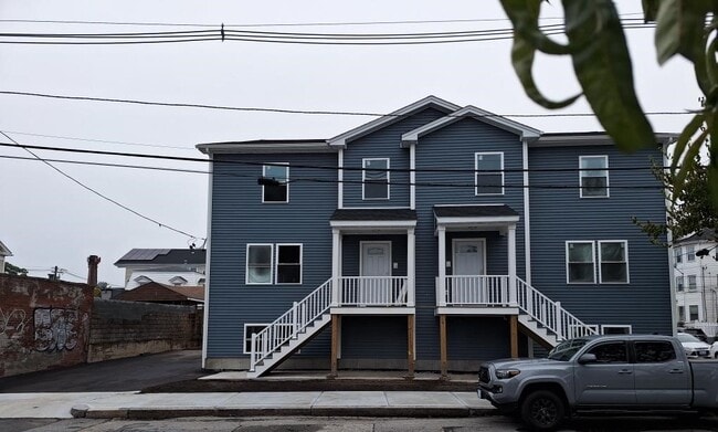
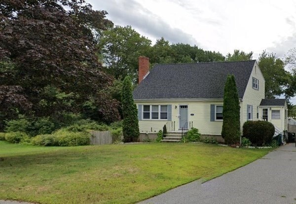
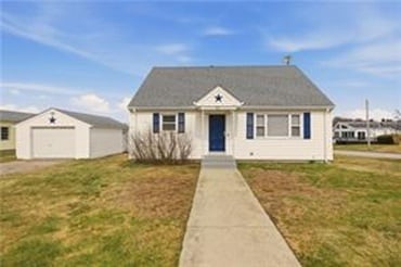
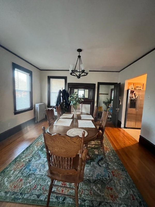
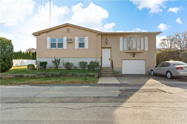
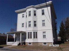
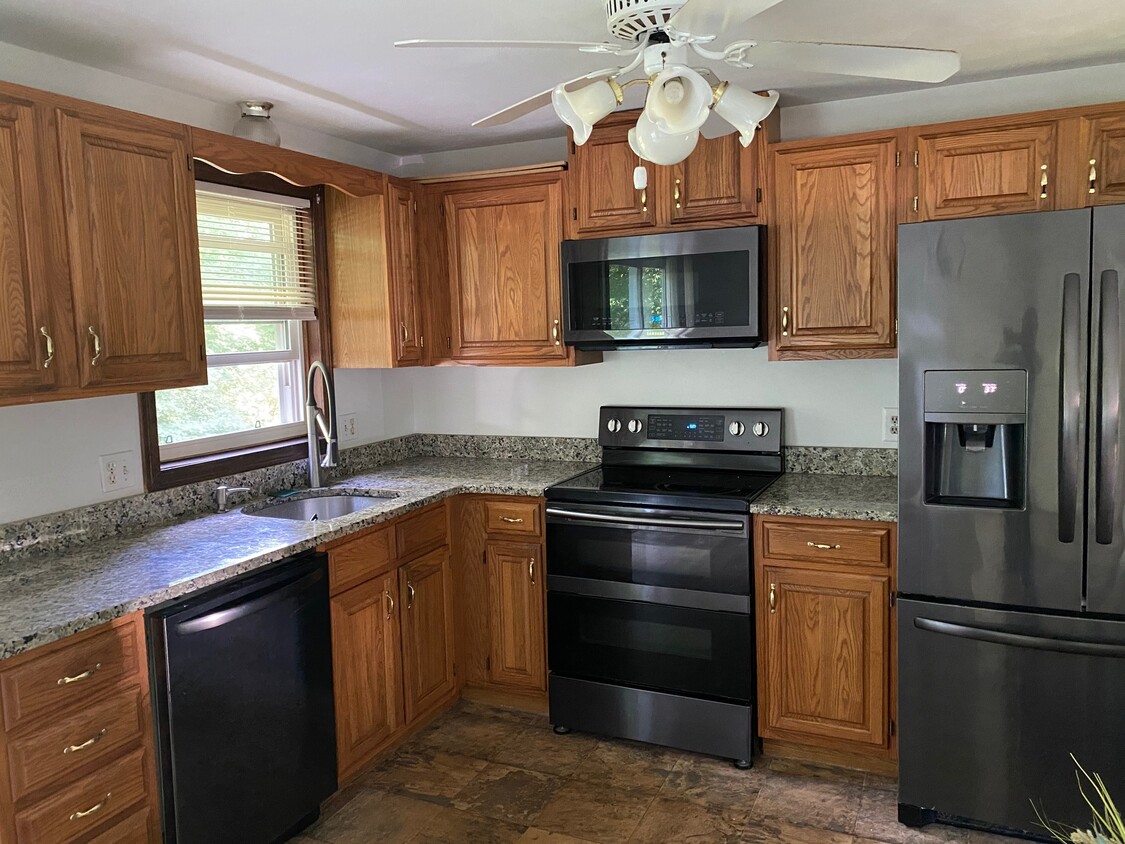
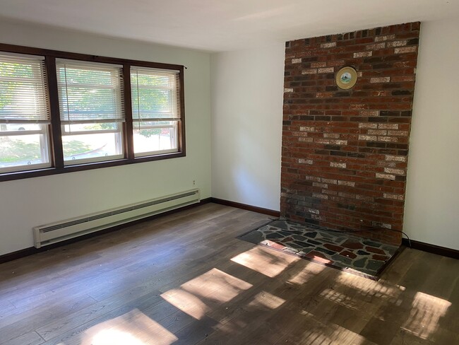
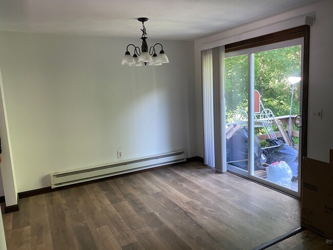
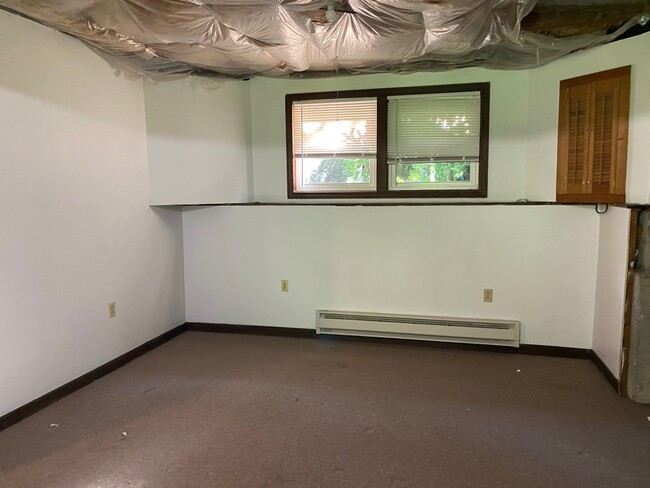
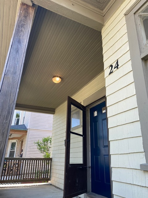
Beautiful raised ranch with 4 beds/1 bath in a quiet neighborhood. Unit features laminate wood floors and kitchen with black stainless appliances. Property on the Rehoboth line. Sliders out back to a large deck. Laundry hookups provided. No dogs allowed. Good credit required. Available July 2020. Raised ranch style single family home on .66 acres of land.

26 Reynolds St is a house located in Bristol County and the 02703 ZIP Code. This area is served by the Attleboro School District attendance zone.

House Features

Dishwasher

Washer/Dryer Hookup

Microwave

Refrigerator

  • Washer/Dryer Hookup
  • Cable Ready
  • Dishwasher
  • Microwave
  • Range
  • Refrigerator
Location
26 Reynolds St, Attleboro,
MA 02703
Get Directions
| Edit

Under 30 minutes

Commute Time is calculated at rush hour.
City - Attleboro

Attleboro’s western border rests on the Massachusetts-Rhode Island state line, only 12 miles from Downtown Providence and eight miles from Pawtucket. Quiet neighborhoods circle a modest yet vibrant town center in which you can find local cafes and popular watering holes. As Attleboro and the surrounding cities expand, so do the town’s rental offerings. Modern, upscale apartment communities, townhomes, and single-family home rentals are all available to renters with fantastic proximity to Interstate 95, 295, and Main Street.

Kids and adults alike will enjoy the nearby Capron Park Zoo and Emerald Square, an all-encompassing shopping center just west of Attleboro. The town comes together every year for a dazzling light show to celebrate the holiday season. Businesses and homes go all out to see who can attract the most viewers. Attleboro’s small-town feel is welcome amongst the much larger cities that provide convenient amenities nearby.

Learn more about living in Attleboro 
Amenities
  • Washer/Dryer Hookup
  • Cable Ready
  • Dishwasher
  • Microwave
  • Range
  • Refrigerator
Education
Colleges & Universities Distance
Drive: 16 min 9.0 mi
Drive: 22 min 11.5 mi
Drive: 21 min 12.2 mi
Drive: 21 min 12.3 mi
26 Reynolds St is within 16 minutes or 9.0 miles from Wheaton College, Norton. It is also near Brown University and Rhode Island School of Design.
Schools
Public Elementary School
Grades PK-5
405 Students
Nearby
Public Elementary & Middle School
Grades K-8
597 Students
Attendance Zone
Public Elementary School
Grades K-5
483 Students
Attendance Zone
Public High School
Grades 9-12
1,993 Students
Attendance Zone
Private Elementary, Middle & High School
Grades PK-12
164 Students
Nearby
Transportation

26 Reynolds St is near Rhode Island Tf Green International, located 20.3 miles or 36 minutes away, and General Edward Lawrence Logan International, located 44.3 miles or 63 minutes away.

Commuter Rail Distance
Drive: 8 min 4.1 mi
Drive: 11 min 6.0 mi
Drive: 13 min 7.6 mi
Drive: 21 min 12.1 mi
Drive: 23 min 13.3 mi
Airports Distance
Airports Distance
Rhode Island Tf Green International
Drive: 36 min 20.3 mi
General Edward Lawrence Logan International
Drive: 63 min 44.3 mi

Walkability Near 26 Reynolds St Attleboro, MA 02703

Getting Around
Somewhat Walkable
Walkability
20 / 100
Minimal Public Transit
Transit
0 / 100
Exceptionally Drivable
Drivability
100 / 100
Fairly Bikeable
Bikeability
50 / 100

Scores provided by

What do Walkability, Transit, Drivability, and Bikeability mean? Walkability measures the walking distance to day-to-day needs. Transit measures access to public transportation. Drivability measures congestion, parking availability, and access to major roads. Bikeability measures the suitability for cycling. How It Works
-
Soundscore
- / 100

Traffic

-

Airport

-

Businesses

-

Scores provided by

HowLoud What is a Sound Score Rating? A Sound Score Rating aggregates noise caused by vehicle traffic, airplane traffic and local sources. How It Works
Points of Interest

Time and distance from 26 Reynolds St.

Shopping Centers Distance
Walk: 18 min 0.9 mi
Drive: 7 min 3.6 mi
Drive: 7 min 3.7 mi
26 Reynolds St has 3 shopping centers within 3.7 miles, which is about a 7-minute drive. The miles and minutes will be for the farthest away property.
Parks and Recreation Distance
Mass Audubon's Oak Knoll Wildlife Sanctuary
Walk: 13 min 0.7 mi
Capron Park Zoo
Drive: 7 min 4.1 mi
Caratunk Wildlife Refuge
Drive: 11 min 5.6 mi
North Attleboro National Fish Hatchery
Drive: 14 min 7.4 mi
Blackstone Valley Outfitters
Drive: 17 min 9.6 mi
26 Reynolds St has 5 parks within 9.6 miles, including Mass Audubon's Oak Knoll Wildlife Sanctuary, Capron Park Zoo, and Caratunk Wildlife Refuge.
Hospitals Distance
Hospitals Distance
Drive: 6 min 3.4 mi
Drive: 14 min 6.3 mi
Drive: 17 min 9.4 mi
26 Reynolds St has 3 hospitals within 9.4 miles, the nearest is Sturdy Memorial Hospital which is 3.4 miles away and a 6 minute drive.
Military Bases Distance
Drive: 51 min 32.6 mi
Drive: 56 min 34.7 mi
Drive: 67 min 47.0 mi
26 Reynolds St has 3 military bases within 47.0 miles, the nearest is Rhode Island National Gaurd which is 32.6 miles away and a 51 minute drive.

You May Also Like

Similar Rentals Nearby