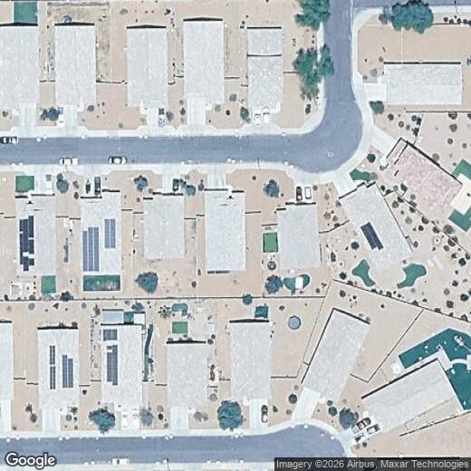
25567 W Allen St
25567 W Allen St
Buckeye, AZ 85326
2 Weeks Ago
|
Edit
Favorites
25567 W Allen St

Favorites
Check Back Soon for Upcoming Availability
| Beds | Baths | Average SF |
|---|---|---|
| 4 Bedrooms 4 Bedrooms 4 Br | 2 Baths 2 Baths 2 Ba | — |
25567 W Allen St,
Buckeye,
AZ
85326
Buckeye earned its name from an Ohio settler's canal project in the 1880s, and that pioneering spirit still shapes the city today. Located at the western edge of Phoenix metro along Interstate 10, this fast-growing desert city offers easy access to outdoor escapes like Skyline Regional Park, Buckeye Hills Regional Park, and White Tank Mountain Regional Park. Daily life moves at a comfortable pace, from weekend hikes through the Sonoran Desert to shopping at Sundance Towne Center. Neighborhoods like Verrado feature tree-lined Main Street and golf courses, while Historic Downtown Buckeye along Monroe Avenue hosts community events with a laid-back feel.
The rental scene includes spacious townhomes, single-story homes, and newer apartment communities with resort-style amenities. Many developments near SR 85 and I-10 provide straightforward commutes to Goodyear, Avondale, and central Phoenix.
Learn more about living in Buckeye
Education
| Colleges & Universities | Distance | ||
|---|---|---|---|
| Colleges & Universities | Distance | ||
| Drive: | 31 min | 21.8 mi | |
| Drive: | 50 min | 35.7 mi | |
| Drive: | 50 min | 35.8 mi | |
| Drive: | 55 min | 39.3 mi |
25567 W Allen St is within 31 minutes or 21.8 miles from Estrella Mountain Comm. Coll.. It is also near Grand Canyon University and Glendale Community College.
Walkability Near 25567 W Allen St Buckeye, AZ 85326
Getting Around
 What do Walkability, Transit, Drivability, and Bikeability mean?
Walkability measures the walking distance to day-to-day needs.
Transit measures access to public transportation.
Drivability measures congestion, parking availability, and access to major roads.
Bikeability measures the suitability for cycling.
How It Works
What do Walkability, Transit, Drivability, and Bikeability mean?
Walkability measures the walking distance to day-to-day needs.
Transit measures access to public transportation.
Drivability measures congestion, parking availability, and access to major roads.
Bikeability measures the suitability for cycling.
How It Works
Somewhat Walkable
Walkability
20
/ 100
Minimal Public Transit
Transit
0
/ 100
Very Drivable
Drivability
80
/ 100
Somewhat Bikeable
Bikeability
30
/ 100
Scores provided by
-
Soundscore™
-
/ 100
Traffic
-Airport
-Businesses
-Scores provided by
HowLoud What is a Sound Score Rating? A Sound Score Rating aggregates noise caused by vehicle traffic, airplane traffic and local sources. How It WorksYou May Also Like
Similar Rentals Nearby
-
-

-

-

-

-

-
 4 Beds$2,000Total Monthly PriceTotal Monthly Price NewPrices include all required monthly fees.House for Rent
 -
 4 Beds$2,180Total Monthly PriceTotal Monthly Price NewPrices include all required monthly fees.House for Rent
 -
 4 Beds$2,205Total Monthly PriceTotal Monthly Price NewPrices include all required monthly fees.House for Rent
 -
 4 Beds$2,320Total Monthly PriceTotal Monthly Price NewPrices include all required monthly fees.House for Rent

What Are Walk Score®, Transit Score®, and Bike Score® Ratings?
Walk Score® measures the walkability of any address. Transit Score® measures access to public transit. Bike Score® measures the bikeability of any address.
What is a Sound Score Rating?
A Sound Score Rating aggregates noise caused by vehicle traffic, airplane traffic and local sources.

25567 W Allen St
Buckeye, AZ 85326