

$900
/ Month
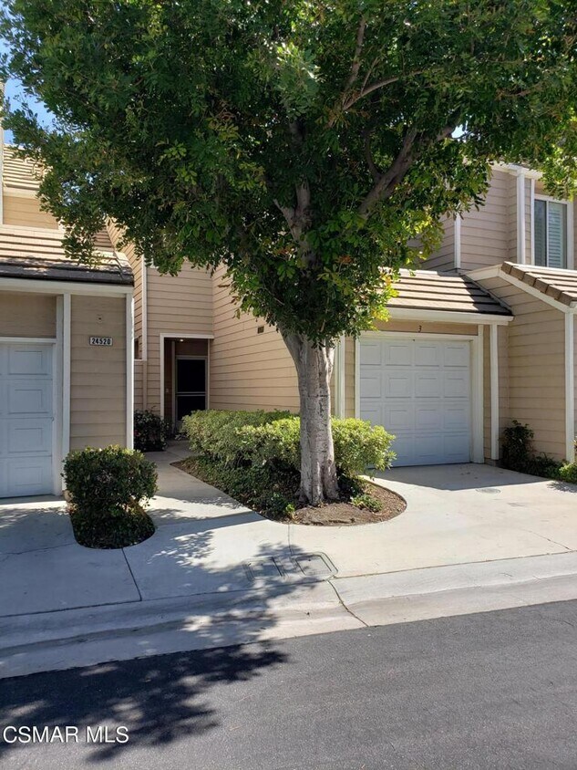
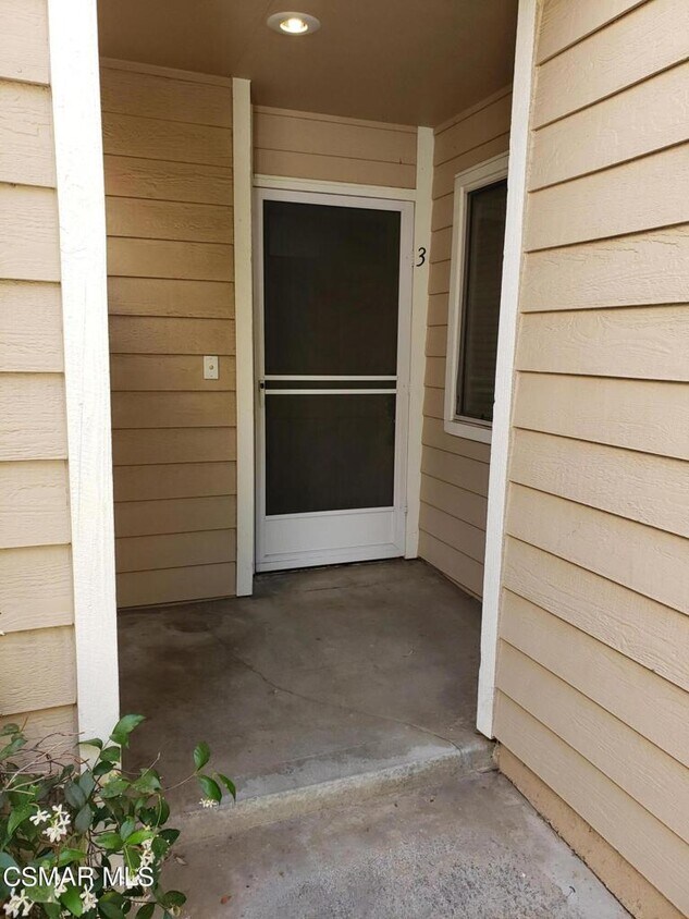
24520 McBean Pkwy
Santa Clarita, CA 91355
2 Weeks Ago
Favorites
-
Bedrooms
1
-
Bathrooms
1
-
Square Feet
1,100 sq ft
24520 McBean Pkwy

Favorites
About This Home
---- SCHEDULE A SHOWING ONLINE AT: ----
24520 McBean Pkwy is a condo located in Los Angeles County and the 91355 ZIP Code.
* Price shown is base rent and may not include non-optional fees and utilities. Price, availability, fees, and any applicable rent special are subject to change without notice.
* Square footage definitions vary. Displayed square footage is approximate.
Contact
- Listed by Locayt
Location
Get Directions
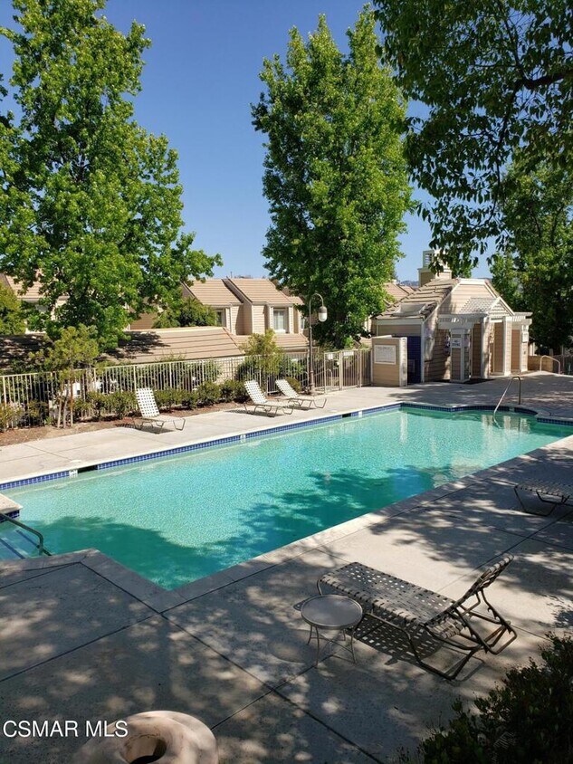
Santa Clarita Valley, which lies just 12 miles north of San Fernando and 33 miles north of Los Angeles, has it all: proximity to the culture and nightlife of urban California while still being surrounded by nature. Pacerita Canyon Nature Area, 13 minutes to the east, features 350 acres of wilderness and 12 miles of trails, perfect for hiking enthusiasts or families introducing children to the wonders of nature. For instance, the Heritage Trail teaches kids about the cultural history of the area. Locals enjoy spending a long weekend or a warm day at the Castaic Lake Recreation Area, 15 minutes from their homes, for boating and swimming during the day and enjoying s'mores at night.
When not exploring the great outdoors, locals drive 12 minutes south to the downtown area to enjoy a hot bowl of stew at Souplantation or homemade Italian cooking at Sisley's.
Learn more about living in Santa Clarita Valley
Education
| Colleges & Universities | Distance | ||
|---|---|---|---|
| Colleges & Universities | Distance | ||
| Drive: | 6 min | 2.0 mi | |
| Drive: | 17 min | 13.2 mi | |
| Drive: | 24 min | 14.6 mi | |
| Drive: | 34 min | 26.5 mi |
24520 McBean Pkwy is within 6 minutes or 2.0 miles from College of the Canyons. It is also near Mission College and Cal State Northridge.
You May Also Like
Similar Rentals Nearby


What Are Walk Score®, Transit Score®, and Bike Score® Ratings?
Walk Score® measures the walkability of any address. Transit Score® measures access to public transit. Bike Score® measures the bikeability of any address.
What is a Sound Score Rating?
A Sound Score Rating aggregates noise caused by vehicle traffic, airplane traffic and local sources

24520 McBean Pkwy
Santa Clarita, CA 91355