
$3,450
Total Monthly Price
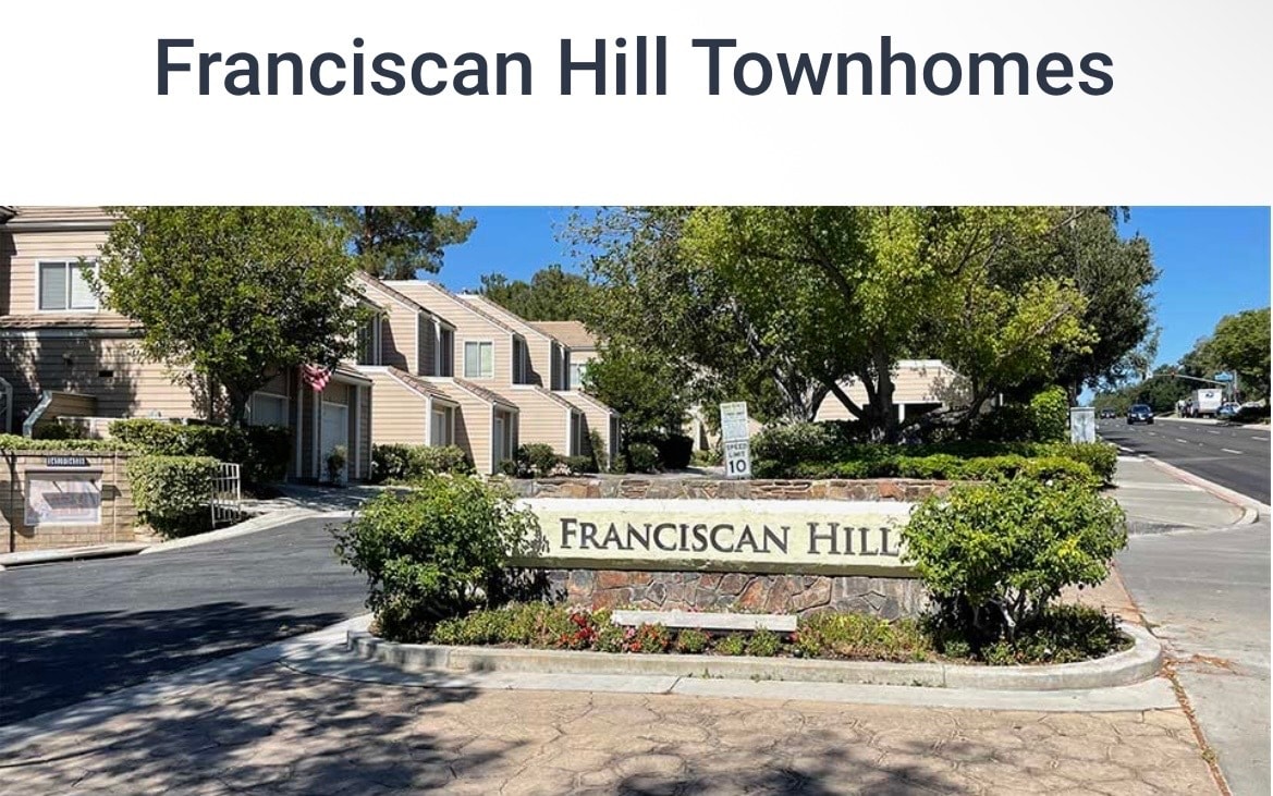
24514 McBean Pky
Santa Clarita, CA 91355
1 Day Ago
|
Edit
Favorites
669-238-2801
-
Bedrooms
2
-
Bathrooms
2.5
-
Square Feet
1,212 sq ft
-
Available
Available May 2
Highlights
- Pets Allowed
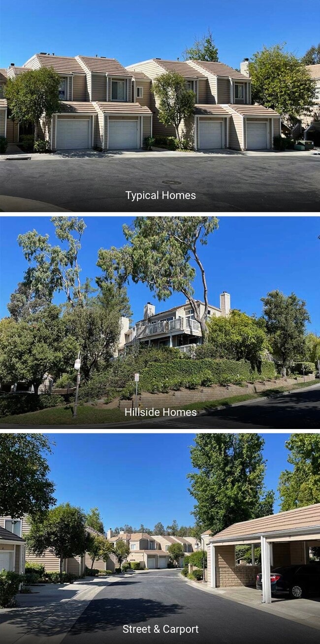
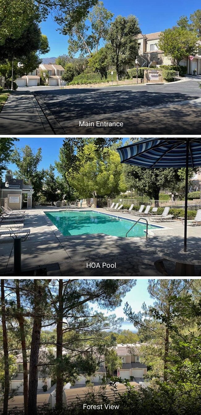
- Pool
- Balcony
- Fireplace
- Double Vanities
24514 McBean Pky

Favorites
About This Home
12 Month Lease,
$2,000 deposit,
Available May 2
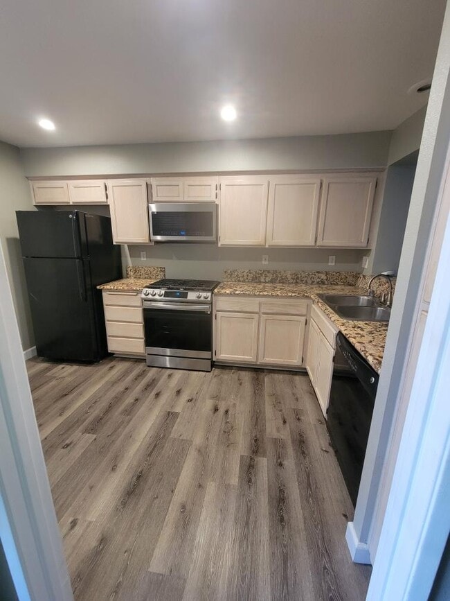
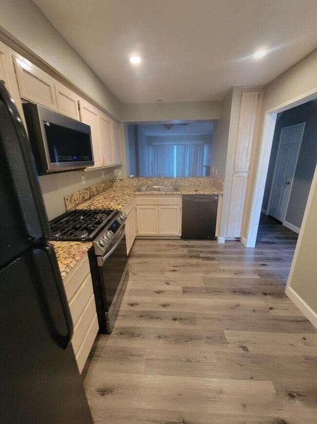
Quiet neighborhood, close to California Institute of the Arts, Valencia Town Center and restaurants. Henry Mayo Newhall Hospital. Interior has been upgraded with new appliances and flooring. 1-car garage parking and 1 assigned carport spot. 2-story townhome, Central AC, Balcony, Fireplaces in the living room and master bedroom. Washer/Dryer included. Access to pool and jacuzzi. $3,450/mo rent with a 12-month lease. $2,000 security deposit.
24514 McBean Pky is a townhome located in Los Angeles County and the 91355 ZIP Code. This area is served by the William S. Hart Union High School District attendance zone.
* Price shown is total price based on community-supplied monthly required fees. Excludes user-selected optional fees and variable or usage-based fees and required charges due at or prior to move-in or at move-out. Price, availability, fees, and any applicable rent special are subject to change without notice.
* Square footage definitions vary. Displayed square footage is approximate.
Townhome Features
Washer/Dryer
Tub/Shower
Fireplace
Ceiling Fans
- Washer/Dryer
- Heating
- Ceiling Fans
- Cable Ready
- Storage Space
- Double Vanities
- Tub/Shower
- Fireplace
- Handrails
- Pool
- Balcony
Fees and Policies
The fees listed below are community-provided and may exclude utilities or add-ons. All payments are made directly to the property and are non-refundable unless otherwise specified.
- Dogs Allowed
-
Fees not specified
- Cats Allowed
-
Fees not specified
- Parking
-
Garage--
Details
Property Information
-
Built in 1988
Contact
- Phone Number
- Contact
Location
Get Directions
Situated in Southern California, Santa Clarita Valley is an opulent suburb surrounded by nature preserves. The northern section of the region encompasses Castaic Lake State Recreation Park, while the eastern and western sides of the area are bordered by the Santa Clarita Woodlands Park and the Golden Valley Ranch Open Space. Also located in the valley are meandering trails that follow along the river and connect to scenic community parks. Located just 35 miles north of Los Angeles, Santa Clarita offers more than the great outdoors. Places like Six Flags Magic Mountain, sprawling golf courses, and premier shopping at plazas like Westfield Valencia Town Center are all located within Santa Clarita Valley. More shopping and retail centers can be found off Lyons Avenue and Soledad Canyon Road, while Main Street’s locally owned cafes, specialty shops, and restaurants provide a nice contrast to large commercial plazas.
Learn more about living in Santa Clarita Valley
Education
| Colleges & Universities | Distance | ||
|---|---|---|---|
| Colleges & Universities | Distance | ||
| Drive: | 6 min | 2.0 mi | |
| Drive: | 17 min | 13.2 mi | |
| Drive: | 24 min | 14.6 mi | |
| Drive: | 34 min | 26.5 mi |
24514 McBean Pky is within 6 minutes or 2.0 miles from College of the Canyons. It is also near Mission College and Cal State Northridge.
Schools


Public Elementary School
Grades K-5
Nearby
Charter Elementary School
Grades K-6
299 Students
Nearby
Public Middle School
Grades 6-8
Nearby
Public High School
Grades 9-12
Nearby
School data provided by
 The GreatSchools Rating helps parents compare schools within a state based on a variety of school quality indicators and provides a helpful picture of how effectively each school serves all of its students. Ratings are on a scale of 1 (below average) to 10 (above average) and can include test scores, college readiness, academic progress, advanced courses, equity, discipline and attendance data. We also advise parents to visit schools, consider other information on school performance and programs, and consider family needs as part of the school selection process.
View GreatSchools Rating Methodology
Data provided by GreatSchools.org © 2026. All rights reserved.
View GreatSchools Rating Methodology
Data provided by GreatSchools.org © 2026. All rights reserved.
Getting Around
 What do Walkability, Transit, Drivability, and Bikeability mean?
Walkability measures the walking distance to day-to-day needs.
Transit measures access to public transportation.
Drivability measures congestion, parking availability, and access to major roads.
Bikeability measures the suitability for cycling.
How It Works
What do Walkability, Transit, Drivability, and Bikeability mean?
Walkability measures the walking distance to day-to-day needs.
Transit measures access to public transportation.
Drivability measures congestion, parking availability, and access to major roads.
Bikeability measures the suitability for cycling.
How It Works
Fairly Walkable
Walkability
50
/ 100
Some Public Transit
Transit
50
/ 100
Exceptionally Drivable
Drivability
100
/ 100
Fairly Bikeable
Bikeability
50
/ 100
Scores provided by
-
Soundscore™
-
/ 100
Traffic
-Airport
-Businesses
-Scores provided by
HowLoud What is a Sound Score Rating? A Sound Score Rating aggregates noise caused by vehicle traffic, airplane traffic and local sources. How It Works
Amenities
- Washer/Dryer
- Heating
- Ceiling Fans
- Cable Ready
- Storage Space
- Double Vanities
- Tub/Shower
- Fireplace
- Handrails
- Balcony
- Pool
24514 McBean Pky Photos
-
-
-
-
-
-
-
Primary bedroom with fireplace
-
Washer/Dryer in unit
-
En-suite
What Are Walk Score®, Transit Score®, and Bike Score® Ratings?
Walk Score® measures the walkability of any address. Transit Score® measures access to public transit. Bike Score® measures the bikeability of any address.
What is a Sound Score Rating?
A Sound Score Rating aggregates noise caused by vehicle traffic, airplane traffic and local sources.
24514 McBean Pky
Santa Clarita, CA 91355