$1,900 / Month
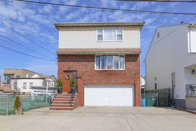
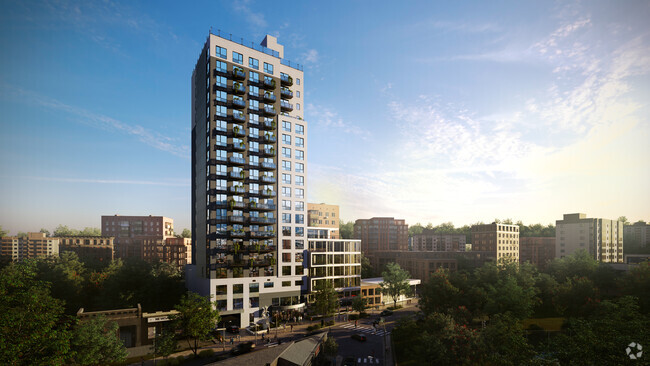
243 Hoyt St
Kearny, NJ 07032
2 Weeks Ago
Favorites
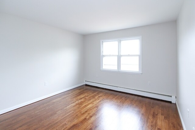
243 Hoyt St

Favorites
Check Back Soon for Upcoming Availability
| Beds | Baths | Average SF |
|---|---|---|
| 2 Bedrooms 2 Bedrooms 2 Br | 1 Bath 1 Bath 1 Ba | — |
About This Property
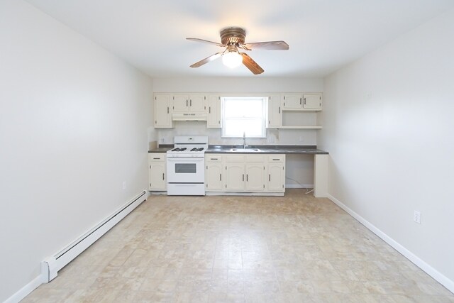
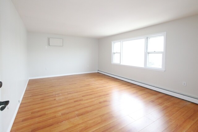
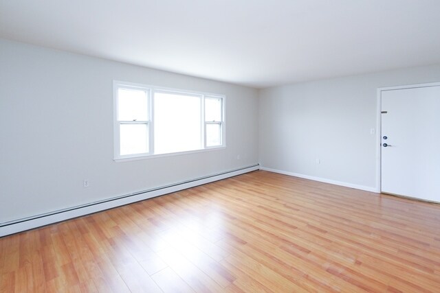
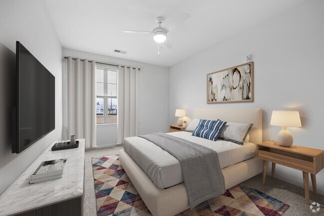
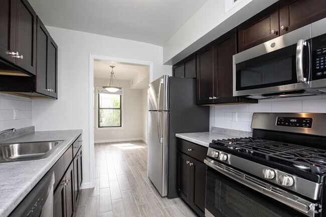
2nd floor 2 Bedroom remodeled apartment with hardwood floors features living/ dining room combo, Eat-in-kitchen, 2 bedrooms and full bath. Includes one parking space. Laundry hookup in basement. No pets allowed. No smoking in premises. Tenant supplies own heat & utilities. Landlord supplies cold water. Landlord requires rental application, credit check & proof of ability to pay.
243 Hoyt St is an apartment community located in Hudson County and the 07032 ZIP Code.
Location
Get Directions
Sitting adjacent to Newark and Jersey City, Kearny is just minutes from Manhattan, giving residents easy access to New York City for work or leisure (either via car or PATH rail service). While most of the town’s area is industrial, the residential area on the northwest side of town is an attractive mix of neighborhoods and storefronts. Kearny Avenue serves as the main drag through town, featuring a wide selection of locally-owned restaurants, shops, and bars. West Hudson Park provides a large open area for outdoor recreation, including a network of trails for running and biking.
Learn more about living in Kearny
Education
| Colleges & Universities | Distance | ||
|---|---|---|---|
| Colleges & Universities | Distance | ||
| Drive: | 5 min | 2.2 mi | |
| Drive: | 7 min | 2.7 mi | |
| Drive: | 7 min | 3.2 mi | |
| Drive: | 11 min | 6.0 mi |
243 Hoyt St is within 5 minutes or 2.2 miles from Rutgers, Newark Campus. It is also near N.J. Inst. of Technology and Essex County College.
Transportation options available in Kearny include Atlantic Street, located 1.8 miles from 243 Hoyt St. 243 Hoyt St is near Newark Liberty International, located 7.4 miles or 10 minutes away, and Laguardia, located 25.4 miles or 39 minutes away.
| Transit / Subway | Distance | ||
|---|---|---|---|
| Transit / Subway | Distance | ||
|
|
Drive: | 4 min | 1.8 mi |
|
|
Drive: | 4 min | 1.8 mi |
|
|
Drive: | 4 min | 1.8 mi |
|
|
Drive: | 5 min | 2.0 mi |
|
|
Drive: | 6 min | 2.9 mi |
| Commuter Rail | Distance | ||
|---|---|---|---|
| Commuter Rail | Distance | ||
|
|
Drive: | 3 min | 1.6 mi |
|
|
Drive: | 6 min | 2.6 mi |
|
|
Drive: | 6 min | 2.9 mi |
|
|
Drive: | 8 min | 4.2 mi |
|
|
Drive: | 10 min | 5.3 mi |
| Airports | Distance | ||
|---|---|---|---|
| Airports | Distance | ||
|
Newark Liberty International
|
Drive: | 10 min | 7.4 mi |
|
Laguardia
|
Drive: | 39 min | 25.4 mi |
Time and distance from 243 Hoyt St.
| Shopping Centers | Distance | ||
|---|---|---|---|
| Shopping Centers | Distance | ||
| Drive: | 3 min | 1.2 mi | |
| Drive: | 4 min | 1.4 mi | |
| Drive: | 3 min | 1.4 mi |
243 Hoyt St has 3 shopping centers within 1.4 miles, which is about a 3-minute drive. The miles and minutes will be for the farthest away property.
| Parks and Recreation | Distance | ||
|---|---|---|---|
| Parks and Recreation | Distance | ||
|
Kearny Marsh
|
Drive: | 3 min | 1.2 mi |
|
Newark Museum and Dreyfuss Planetarium
|
Drive: | 5 min | 2.1 mi |
|
Richard W. DeKorte Park
|
Drive: | 8 min | 3.1 mi |
|
Branch Brook Park
|
Drive: | 8 min | 4.0 mi |
|
McDowell Observatory
|
Drive: | 18 min | 6.3 mi |
243 Hoyt St has 5 parks within 6.3 miles, including Kearny Marsh, Newark Museum and Dreyfuss Planetarium, and Richard W. DeKorte Park.
| Hospitals | Distance | ||
|---|---|---|---|
| Hospitals | Distance | ||
| Drive: | 5 min | 2.3 mi | |
| Drive: | 7 min | 3.5 mi | |
| Drive: | 8 min | 4.4 mi |
243 Hoyt St has 3 hospitals within 4.4 miles, the nearest is Saint Michael's Medical Center which is 2.3 miles away and a 5 minute drive.
| Military Bases | Distance | ||
|---|---|---|---|
| Military Bases | Distance | ||
| Drive: | 23 min | 10.9 mi | |
| Drive: | 18 min | 11.3 mi | |
| Drive: | 33 min | 21.4 mi |
243 Hoyt St has 3 military bases within 21.4 miles, the nearest is Governors Island Support Center which is 10.9 miles away and a 23 minute drive.
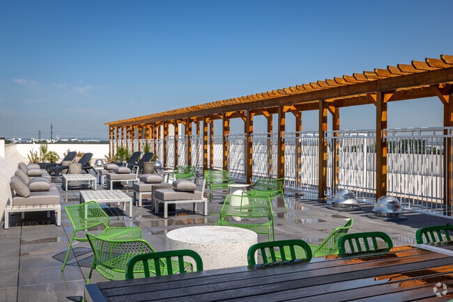
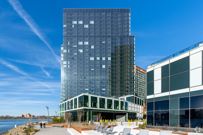
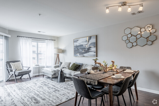
You May Also Like
Similar Rentals Nearby


What Are Walk Score®, Transit Score®, and Bike Score® Ratings?
Walk Score® measures the walkability of any address. Transit Score® measures access to public transit. Bike Score® measures the bikeability of any address.
What is a Sound Score Rating?
A Sound Score Rating aggregates noise caused by vehicle traffic, airplane traffic and local sources

243 Hoyt St
Kearny, NJ 07032