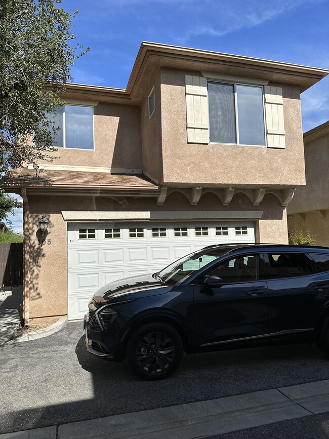
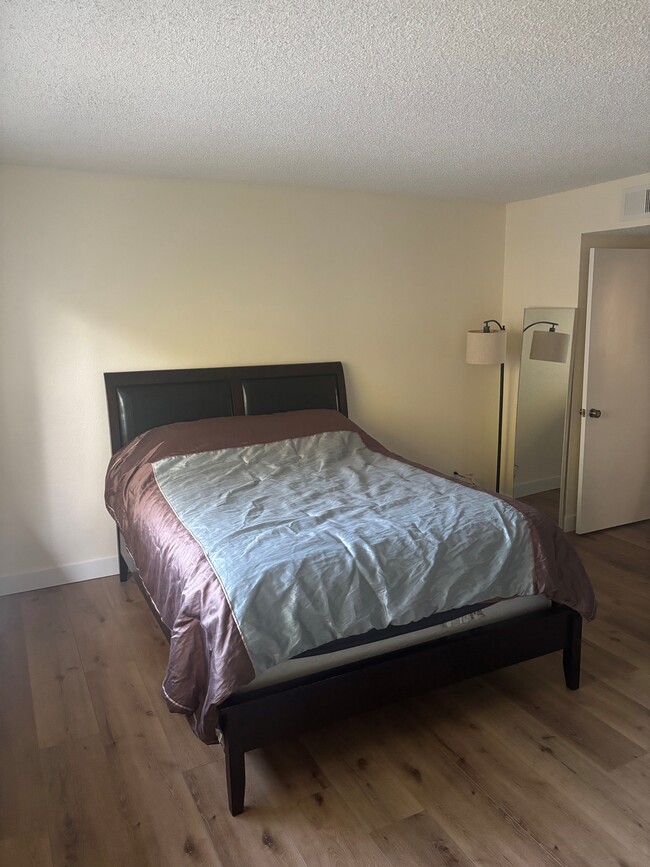
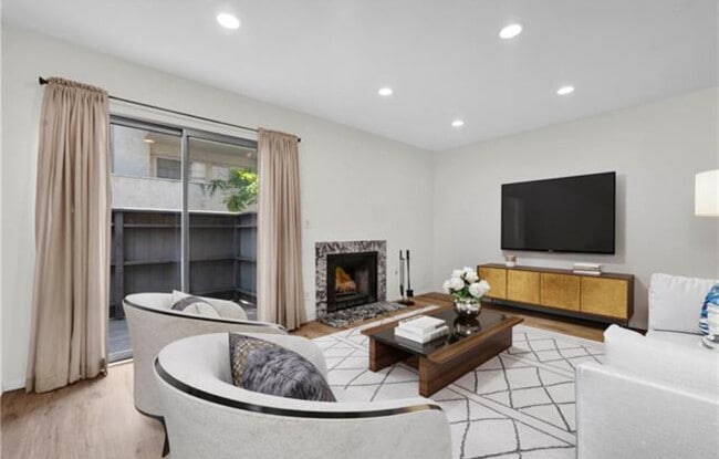
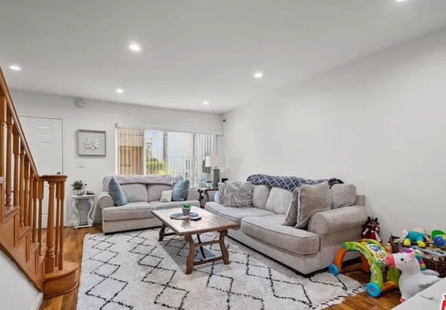
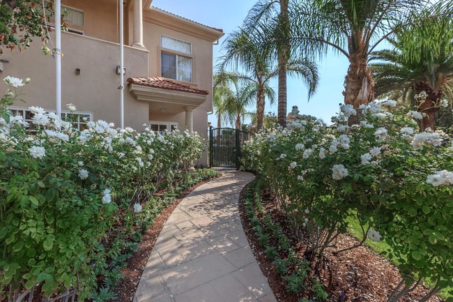
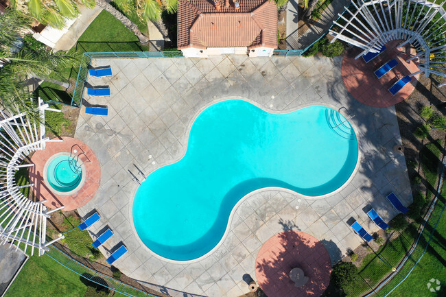
22762 Harmony Dr

22762 Harmony Dr

,

Santa Clarita, CA 91350

2 Weeks Ago
Share Listing
Favorites
22762 Harmony Dr
Share Listing
Favorites

Check Back Soon for Upcoming Availability

City - Santa Clarita

Cut by the Santa Clara River, west of the San Gabriel Mountains, and east of Castaic Lake State Park is Santa Clarita. About 35 miles northwest of Downtown Los Angeles, Santa Clarita is widely known as the home of Six Flags Magic Mountain. However, Santa Clarita is much more than just an amusement park destination. It is supported by a strong residential community and unique environment.

Drawing over 10,000 annual visitors, Santa Clarita holds a Cowboy Festival every spring to celebrate the history and culture of the Old West with food, music, and poetry performances. In juxtaposition, the Hart of the West Pow Wow serves as a celebration of Native American Indian culture and history. Summer brings free concerts in the park, fall finds the International Family Film Festival, and winter lights up with a Lighted Boat Parade at Castaic Lagoon.

In addition, Santa Clarita maintains parks and trails for a variety of outdoor activities.

Learn more about living in Santa Clarita 
Education
Colleges & Universities Distance
Drive: 9 min 3.8 mi
Drive: 22 min 15.7 mi
Drive: 29 min 16.9 mi
Drive: 39 min 28.9 mi
22762 Harmony Dr is within 9 minutes or 3.8 miles from College of the Canyons. It is also near Mission College and Cal State Northridge.
Transportation

22762 Harmony Dr is near Bob Hope, located 22.6 miles or 31 minutes away, and Los Angeles International, located 39.7 miles or 53 minutes away.

Commuter Rail Distance
Drive: 5 min 2.2 mi
Drive: 9 min 4.4 mi
Drive: 9 min 5.0 mi
Drive: 14 min 7.1 mi
Drive: 23 min 14.7 mi
Airports Distance
Airports Distance
Bob Hope
Drive: 31 min 22.6 mi
Los Angeles International
Drive: 53 min 39.7 mi

Walkability Near 22762 Harmony Dr Santa Clarita, CA 91350

Car-Dependent
47
Walk Score®
Out of 100
This area is considered a car-dependent area and most errands will require a car.
Minimal Transit
0
Transit Score®
Out of 100
Bikeable
59
Bike Score®
Out of 100
While there’s some bike infrastructure in this area, you’ll still need a car for many errands.
-
-
Soundscore
Out of 100

Traffic:

-

Airport:

-

Businesses:

-

Score provided by

Scores provided by  and

Score provided by

Points of Interest

Time and distance from 22762 Harmony Dr.

Shopping Centers Distance
Walk: 10 min 0.6 mi
Walk: 14 min 0.8 mi
Drive: 3 min 1.2 mi
22762 Harmony Dr has 3 shopping centers within 1.2 miles, which is about a 3-minute walk. The miles and minutes will be for the farthest away property.
Parks and Recreation Distance
William S. Hart Regional Park
Drive: 9 min 4.6 mi
Placerita Canyon Nature Center
Drive: 12 min 7.4 mi
Ed Davis Park in Towsley Canyon
Drive: 13 min 8.2 mi
Placerita Canyon State Park
Drive: 14 min 8.8 mi
East and Rice Canyon
Drive: 15 min 9.7 mi
22762 Harmony Dr has 5 parks within 9.7 miles, including William S. Hart Regional Park, East and Rice Canyon, and Ed Davis Park in Towsley Canyon.
Hospitals Distance
Hospitals Distance
Drive: 7 min 3.8 mi
Drive: 21 min 13.9 mi
22762 Harmony Dr is 3.8 miles from Henry Mayo Newhall Hospital, and is convenient to other hospitals, including Olive View - UCLA Medical Center.
Military Bases Distance
Drive: 53 min 42.3 mi
22762 Harmony Dr is 42.3 miles and a 53 minute drive from Los Angeles Air Force Base.

You May Also Like

Similar Rentals Nearby