
$1,595
/ Month
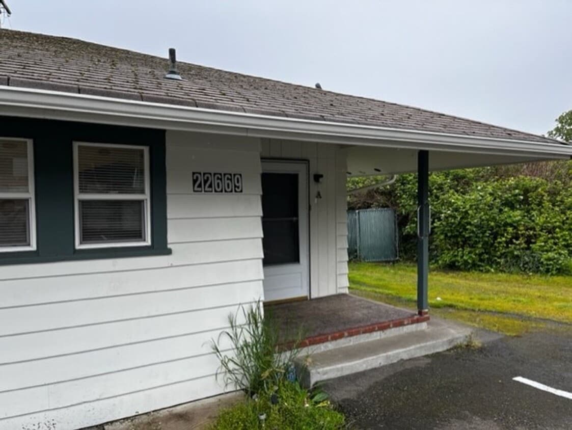
22659 Pacific Hwy S Unit A
Des Moines, WA 98198
Favorites
22659 Pacific Hwy S Unit A

Favorites
Check Back Soon for Upcoming Availability
| Beds | Baths | Average SF |
|---|---|---|
| 2 Bedrooms 2 Bedrooms 2 Br | 1 Bath 1 Bath 1 Ba | 712 SF |
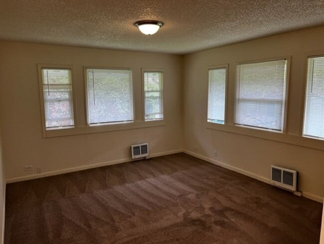
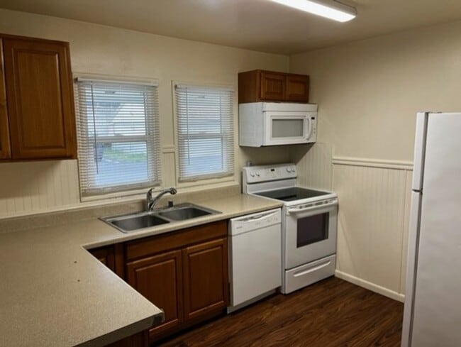
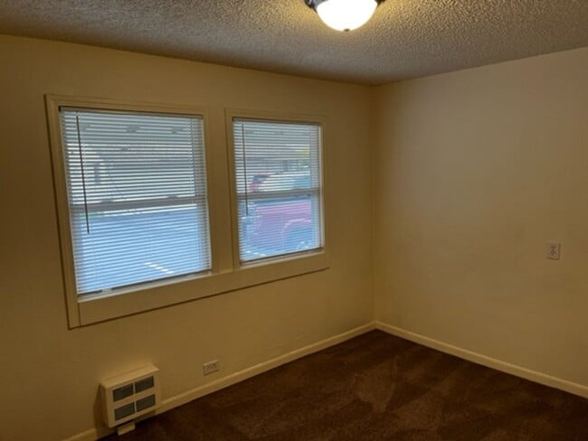
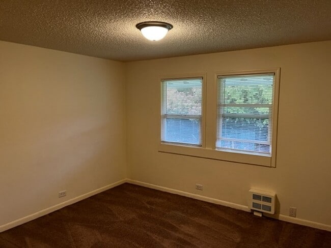
About This Property
Welcome to your new rental in Des Moines, WA. You'll enjoy this great location at 22659 Pacific Hwy S in Des Moines and the destinations nearby. Stop looking and find your new home. Contact us to discuss the next steps.
22659 Pacific Hwy S is an apartment community located in King County and the 98198 ZIP Code.
22659 Pacific Hwy S,
Des Moines,
WA
98198
Pacific Ridge is a long, narrow neighborhood between Interstate 5 and Pacific Highway. The community is mainly suburban in nature, with modest homes, apartment buildings, and evergreen foliage filling the landscape. The neighborhood slopes uphill as you get go east, allowing folks in some places to get clear views of Puget Sound from as far inland as I-5.
Several public parks such as Grandview Dog Park, Riverfront Park, and Saltwater State Park are easily reachable within minutes, giving folks many options for outdoor recreation. With Highline College just a few blocks to the southwest, Pacific Ridge is an excellent location for students, faculty, and staff.
Learn more about living in Pacific RidgeBelow are rent ranges for similar nearby apartments
Education
| Colleges & Universities | Distance | ||
|---|---|---|---|
| Colleges & Universities | Distance | ||
| Drive: | 4 min | 1.1 mi | |
| Drive: | 20 min | 11.2 mi | |
| Drive: | 19 min | 12.1 mi | |
| Drive: | 26 min | 15.6 mi |
22659 Pacific Hwy S Unit A is within 4 minutes or 1.1 miles from Highline Community College. It is also near Renton Technical College and Green River Community College.
Transportation options available in Des Moines include Rainier Beach, located 10.9 miles from 22659 Pacific Hwy S Unit A. 22659 Pacific Hwy S Unit A is near Seattle-Tacoma International, located 4.8 miles or 12 minutes away.
| Transit / Subway | Distance | ||
|---|---|---|---|
| Transit / Subway | Distance | ||
| Drive: | 17 min | 10.9 mi | |
| Drive: | 20 min | 12.1 mi |
| Commuter Rail | Distance | ||
|---|---|---|---|
| Commuter Rail | Distance | ||
|
|
Drive: | 22 min | 16.3 mi |
|
|
Drive: | 23 min | 17.0 mi |
| Drive: | 27 min | 20.3 mi | |
| Drive: | 31 min | 23.5 mi | |
|
|
Drive: | 48 min | 34.6 mi |
| Airports | Distance | ||
|---|---|---|---|
| Airports | Distance | ||
|
Seattle-Tacoma International
|
Drive: | 12 min | 4.8 mi |
Walkability Near 22659 Pacific Hwy S Des Moines, WA 98198
Getting Around
 What do Walkability, Transit, Drivability, and Bikeability mean?
Walkability measures the walking distance to day-to-day needs.
Transit measures access to public transportation.
Drivability measures congestion, parking availability, and access to major roads.
Bikeability measures the suitability for cycling.
How It Works
What do Walkability, Transit, Drivability, and Bikeability mean?
Walkability measures the walking distance to day-to-day needs.
Transit measures access to public transportation.
Drivability measures congestion, parking availability, and access to major roads.
Bikeability measures the suitability for cycling.
How It Works
Fairly Walkable
Walkability
40
/ 100
Some Public Transit
Transit
40
/ 100
Exceptionally Drivable
Drivability
100
/ 100
Somewhat Bikeable
Bikeability
30
/ 100
Scores provided by
-
Soundscore™
-
/ 100
Traffic
-Airport
-Businesses
-Scores provided by
HowLoud What is a Sound Score Rating? A Sound Score Rating aggregates noise caused by vehicle traffic, airplane traffic and local sources. How It WorksTime and distance from 22659 Pacific Hwy S Unit A.
| Shopping Centers | Distance | ||
|---|---|---|---|
| Shopping Centers | Distance | ||
| Walk: | 8 min | 0.4 mi | |
| Walk: | 10 min | 0.5 mi | |
| Walk: | 17 min | 0.9 mi |
22659 Pacific Hwy S Unit A has 3 shopping centers within 0.9 mile, which is about a 17-minute walk. The miles and minutes will be for the farthest away property.
| Parks and Recreation | Distance | ||
|---|---|---|---|
| Parks and Recreation | Distance | ||
|
Saltwater State Park
|
Drive: | 10 min | 3.4 mi |
|
Highline SeaTac Botanical Garden
|
Drive: | 14 min | 6.6 mi |
|
Eagle Landing Park
|
Drive: | 17 min | 8.2 mi |
|
Seahurst Park
|
Drive: | 18 min | 8.5 mi |
|
Auburndale Park
|
Drive: | 18 min | 10.5 mi |
22659 Pacific Hwy S Unit A has 5 parks within 10.5 miles, including Saltwater State Park, Highline SeaTac Botanical Garden, and Eagle Landing Park.
| Hospitals | Distance | ||
|---|---|---|---|
| Hospitals | Distance | ||
| Drive: | 13 min | 6.4 mi | |
| Drive: | 14 min | 6.6 mi | |
| Drive: | 12 min | 8.4 mi |
22659 Pacific Hwy S Unit A has 3 hospitals within 8.4 miles, the nearest is Highline Medical Center which is 6.4 miles away and a 13 minute drive.
| Military Bases | Distance | ||
|---|---|---|---|
| Military Bases | Distance | ||
| Drive: | 43 min | 24.7 mi | |
| Drive: | 65 min | 48.1 mi | |
| Drive: | 69 min | 50.7 mi |
22659 Pacific Hwy S Unit A has 3 military bases within 50.7 miles, the nearest is Fort Lawton Military Reserve which is 24.7 miles away and a 43 minute drive.
You May Also Like
-
Viridian Grove
5228 S Mason Ave
Tacoma, WA 98409
$1,551 - $1,976
2-4 Br 16.0 mi
-
110 Roy Apartments
110 Roy St
Seattle, WA 98109
$5,449 - $6,049 Total Monthly Price
2 Br 16.0 mi
-
CityScape: Leasing Specials! Newly Renovated Premier Location in Bellevue, Rooftop Entertainment ...
558 121st Pl NE
Bellevue, WA 98005
$2,695 Total Monthly Price
2 Br 12 Month Lease 16.0 mi
Similar Rentals Nearby
-
-
-
-
-
-
-
2 Beds$3,119+Total Monthly PriceTotal Monthly Price NewPrices include required monthly fees of $20.Base Rent:2 Beds$3,099+1 Month Free
Pets Allowed Fitness Center Balcony
-
-
-
2 Beds$3,946+Total Monthly PriceTotal Monthly Price NewPrices include base rent and required monthly fees of $50. Variable costs based on usage may apply.Base Rent:2 Beds$3,895+2 Months Free
Pets Allowed Fitness Center Dishwasher In Unit Washer & Dryer Patio Stainless Steel Appliances Controlled Access


What Are Walk Score®, Transit Score®, and Bike Score® Ratings?
Walk Score® measures the walkability of any address. Transit Score® measures access to public transit. Bike Score® measures the bikeability of any address.
What is a Sound Score Rating?
A Sound Score Rating aggregates noise caused by vehicle traffic, airplane traffic and local sources.
22659 Pacific Hwy S
Des Moines, WA 98198